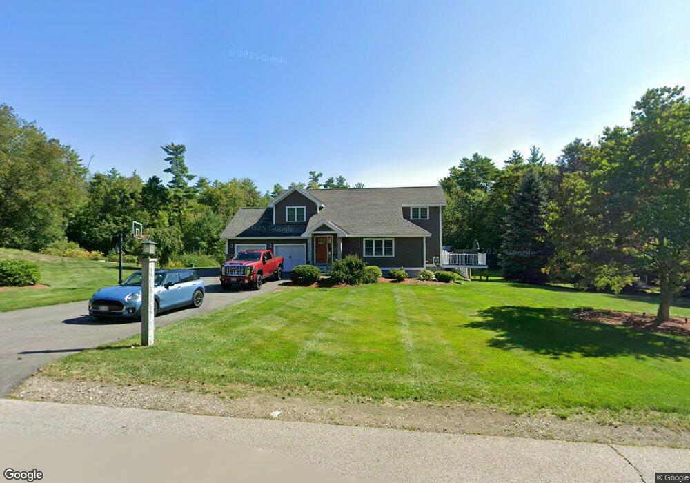
27 Ranger Rd Hollis, NH 03049
Hollis NeighborhoodEstimated Value: $752,031 - $986,000
3
Beds
3
Baths
1,663
Sq Ft
$503/Sq Ft
Est. Value
About This Home
This home is located at 27 Ranger Rd, Hollis, NH 03049 and is currently estimated at $836,758, approximately $503 per square foot. 27 Ranger Rd is a home with nearby schools including Hollis Primary School, Hollis Upper Elementary School, and Hollis-Brookline Middle School.
Ownership History
Date
Name
Owned For
Owner Type
Purchase Details
Closed on
Apr 8, 2013
Sold by
Gisetto Monica C
Bought by
Monica C Gisetto Ret and Gisetto
Current Estimated Value
Purchase Details
Closed on
Mar 12, 2008
Sold by
Pultar Paula
Bought by
Gisetto Monica C
Home Financials for this Owner
Home Financials are based on the most recent Mortgage that was taken out on this home.
Original Mortgage
$288,000
Interest Rate
5.72%
Mortgage Type
Purchase Money Mortgage
Create a Home Valuation Report for This Property
The Home Valuation Report is an in-depth analysis detailing your home's value as well as a comparison with similar homes in the area
Home Values in the Area
Average Home Value in this Area
Purchase History
| Date | Buyer | Sale Price | Title Company |
|---|---|---|---|
| Monica C Gisetto Ret | -- | -- | |
| Gisetto Monica C | $360,000 | -- |
Source: Public Records
Mortgage History
| Date | Status | Borrower | Loan Amount |
|---|---|---|---|
| Previous Owner | Gisetto Monica C | $301,179 | |
| Previous Owner | Gisetto Monica C | $288,000 |
Source: Public Records
Tax History Compared to Growth
Tax History
| Year | Tax Paid | Tax Assessment Tax Assessment Total Assessment is a certain percentage of the fair market value that is determined by local assessors to be the total taxable value of land and additions on the property. | Land | Improvement |
|---|---|---|---|---|
| 2024 | $11,422 | $644,200 | $292,300 | $351,900 |
| 2023 | $10,281 | $617,100 | $292,300 | $324,800 |
| 2022 | $13,928 | $617,100 | $292,300 | $324,800 |
| 2021 | $8,547 | $376,500 | $205,800 | $170,700 |
| 2020 | $8,618 | $371,800 | $205,800 | $166,000 |
| 2019 | $8,589 | $371,800 | $205,800 | $166,000 |
| 2018 | $8,057 | $371,800 | $205,800 | $166,000 |
| 2017 | $7,878 | $340,300 | $186,900 | $153,400 |
| 2016 | $7,973 | $340,300 | $186,900 | $153,400 |
| 2015 | $7,834 | $340,300 | $186,900 | $153,400 |
| 2014 | $7,871 | $340,300 | $186,900 | $153,400 |
| 2013 | $7,766 | $340,300 | $186,900 | $153,400 |
Source: Public Records
Map
Nearby Homes
- 334 Broad St
- 76 Bartemus Trail Unit U231
- 11 Bartemus Trail Unit 204
- 22 Cathedral Cir
- 199 Pine Hill Rd
- 6 Cornwall Ln Unit 7
- 3 Richmond St
- 4 Nelson St
- 14 Parrish Hill Dr
- 46 Scenic Dr
- 20 Martha St
- 5 Meghan Dr Unit U23
- 27 Country Hill Rd Unit U90
- 424 Broad St
- 4 Chesapeake Rd
- 12 Spring Cove Rd Unit U103
- 40 Spring Cove Rd Unit U117
- 5 Plainfield Ln
- 11 Inca Dr
- 599 W Hollis St
- 21 Ranger Rd
- 35 Ranger Rd
- 4 Winterberry Way
- 3 Winterberry Way
- 36 Ranger Rd
- 17 Ranger Rd
- 20 Ranger Rd
- 16 Ranger Rd
- 15 Ranger Rd
- 38 Ranger Rd
- 41 Ranger Rd
- 11A Joe's Way
- 7A Joe's Way Unit A
- 9B Joe's Way
- 6C Joe's Way Unit 6C
- 7B Joe's Way Unit B
- 6B Joe's Way Unit B
- 8B Joes Way Unit B
- 11B Joe's Way Unit B
- 6A Joe's Way Unit A