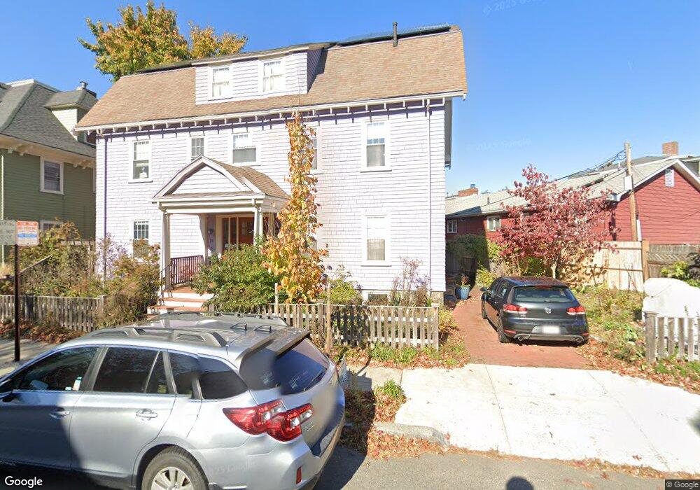
27 Rindge Ave Cambridge, MA 02140
North Cambridge NeighborhoodEstimated Value: $1,792,657 - $2,607,000
6
Beds
4
Baths
3,548
Sq Ft
$596/Sq Ft
Est. Value
About This Home
This home is located at 27 Rindge Ave, Cambridge, MA 02140 and is currently estimated at $2,115,414, approximately $596 per square foot. 27 Rindge Ave is a home located in Middlesex County with nearby schools including Benjamin Banneker Charter Public School, Cambridge Friends School, and Cambridge Montessori School.
Ownership History
Date
Name
Owned For
Owner Type
Purchase Details
Closed on
Nov 1, 2011
Sold by
Doran Charles A Est and Dugan John G
Bought by
Reid Katherine A and Sokol-Margolis Joseph
Current Estimated Value
Home Financials for this Owner
Home Financials are based on the most recent Mortgage that was taken out on this home.
Original Mortgage
$566,250
Outstanding Balance
$387,802
Interest Rate
4.11%
Mortgage Type
Purchase Money Mortgage
Estimated Equity
$1,727,612
Create a Home Valuation Report for This Property
The Home Valuation Report is an in-depth analysis detailing your home's value as well as a comparison with similar homes in the area
Home Values in the Area
Average Home Value in this Area
Purchase History
| Date | Buyer | Sale Price | Title Company |
|---|---|---|---|
| Reid Katherine A | $755,000 | -- |
Source: Public Records
Mortgage History
| Date | Status | Borrower | Loan Amount |
|---|---|---|---|
| Open | Reid Katherine A | $566,250 |
Source: Public Records
Tax History Compared to Growth
Tax History
| Year | Tax Paid | Tax Assessment Tax Assessment Total Assessment is a certain percentage of the fair market value that is determined by local assessors to be the total taxable value of land and additions on the property. | Land | Improvement |
|---|---|---|---|---|
| 2025 | $10,535 | $1,659,000 | $422,500 | $1,236,500 |
| 2024 | $9,656 | $1,631,000 | $440,100 | $1,190,900 |
| 2023 | $8,900 | $1,518,700 | $448,900 | $1,069,800 |
| 2022 | $8,308 | $1,403,300 | $436,800 | $966,500 |
| 2021 | $8,029 | $1,372,500 | $438,300 | $934,200 |
| 2020 | $7,710 | $1,340,900 | $425,400 | $915,500 |
| 2019 | $7,373 | $1,241,200 | $379,700 | $861,500 |
| 2018 | $6,713 | $1,067,200 | $319,700 | $747,500 |
| 2017 | $6,799 | $1,047,600 | $299,700 | $747,900 |
| 2016 | $6,631 | $948,700 | $259,800 | $688,900 |
| 2015 | $6,466 | $826,800 | $228,400 | $598,400 |
| 2014 | $6,264 | $747,500 | $199,900 | $547,600 |
Source: Public Records
Map
Nearby Homes
- 12 Rindge Ave Unit 1
- 8 Cogswell Ave
- 34 Day St
- 70 Walden St Unit 1
- 70 Walden St Unit 7
- 70 Walden St Unit 11
- 179 Rindge Ave Unit 1
- 17 Shea Rd
- 7 Beech St Unit 319
- 7 Beech St Unit 211
- 30 Dudley St
- 183 Rindge Ave Unit 1
- 18 Windom St
- 50 Howard St Unit 5
- 1963 Massachusetts Ave Unit 404
- 353 Summer St Unit 310
- 24 Cambridge Terrace Unit 2
- 61 Bolton St Unit 304
- 20 Beech St
- 22 Harrington Rd
- 19 Rindge Ave Unit 2
- 19 Rindge Ave
- 29 Rindge Ave
- 2 Rindge Terrace
- 2198 Massachusetts Ave
- 2198 Massachusetts Ave Unit 2
- 2198 Massachusetts Ave Unit G3
- 26 Rindge Ave
- 26 Rindge Ave Unit 1
- 4 Rindge Terrace Unit 2
- 4 Rindge Terrace
- 4 Rindge Terrace Unit 1
- 2200 Massachusetts Ave
- 2200 Massachusetts Ave
- 2200 Massachusetts Ave Unit c3
- 5 Rindge Terrace
- 45 Rindge Ave
- 45 Rindge Ave
- 5 Rindge Terrace Unit 5
- 30 Rindge Ave Unit 3