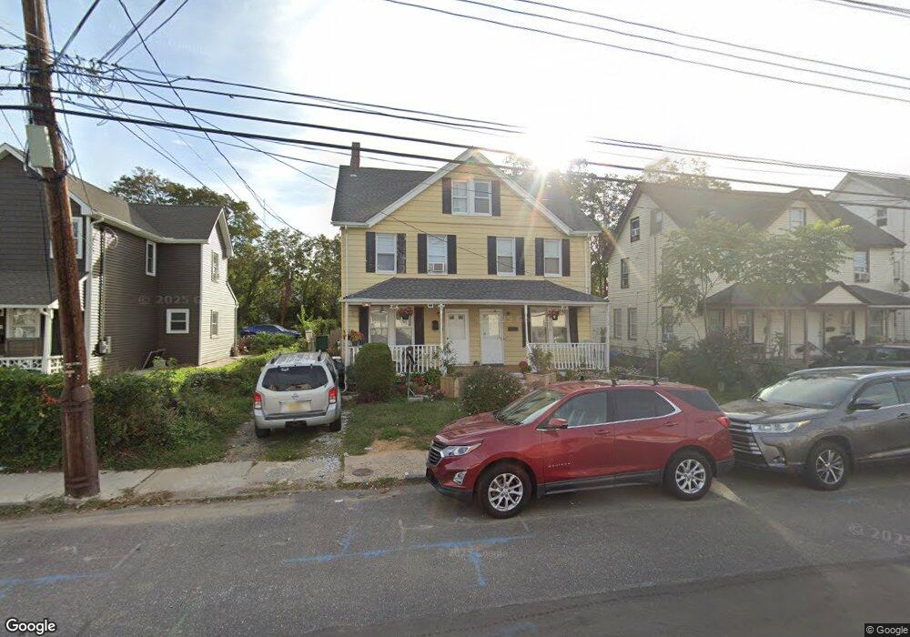
27 S 5th Ave Long Branch, NJ 07740
Estimated Value: $540,781 - $770,000
2
Beds
1
Bath
1,152
Sq Ft
$559/Sq Ft
Est. Value
About This Home
This home is located at 27 S 5th Ave, Long Branch, NJ 07740 and is currently estimated at $643,945, approximately $558 per square foot. 27 S 5th Ave is a home located in Monmouth County with nearby schools including Long Branch High School and Holy Trinity School.
Ownership History
Date
Name
Owned For
Owner Type
Purchase Details
Closed on
Jun 20, 2022
Sold by
Cummings Family Irrevocable Trust
Bought by
Cummings Family Irrevocable Trust
Current Estimated Value
Purchase Details
Closed on
Mar 14, 2022
Sold by
Cummings Lezma
Bought by
Cummings Family Irrevocable Trust and Cummings
Create a Home Valuation Report for This Property
The Home Valuation Report is an in-depth analysis detailing your home's value as well as a comparison with similar homes in the area
Home Values in the Area
Average Home Value in this Area
Purchase History
| Date | Buyer | Sale Price | Title Company |
|---|---|---|---|
| Cummings Family Irrevocable Trust | -- | -- | |
| Cummings Family Irrevocable Trust | -- | None Listed On Document | |
| Cummings Family Irrevocable Trust | -- | Berns Kaci T |
Source: Public Records
Tax History Compared to Growth
Tax History
| Year | Tax Paid | Tax Assessment Tax Assessment Total Assessment is a certain percentage of the fair market value that is determined by local assessors to be the total taxable value of land and additions on the property. | Land | Improvement |
|---|---|---|---|---|
| 2025 | $8,052 | $584,000 | $244,600 | $339,400 |
| 2024 | $6,610 | $523,900 | $214,600 | $309,300 |
| 2023 | $6,610 | $425,600 | $174,600 | $251,000 |
| 2022 | $5,850 | $360,800 | $139,600 | $221,200 |
| 2021 | $5,850 | $318,200 | $120,600 | $197,600 |
| 2020 | $6,604 | $316,000 | $119,600 | $196,400 |
| 2019 | $6,245 | $297,100 | $109,600 | $187,500 |
| 2018 | $6,245 | $295,400 | $101,600 | $193,800 |
| 2017 | $5,765 | $279,700 | $89,600 | $190,100 |
| 2016 | $5,655 | $279,800 | $94,600 | $185,200 |
| 2015 | $5,886 | $264,300 | $96,500 | $167,800 |
| 2014 | $5,433 | $257,100 | $108,200 | $148,900 |
Source: Public Records
Map
Nearby Homes
- 39 Slocum Place
- 14 Slocum Place
- 40 N 5th Ave
- 145 Stokes Place
- 143 Stokes Place
- 167 Chelsea Ave
- 144 Westwood Ave
- 176 Chelsea Ave
- 170 Franklin Ave
- 158 Franklin Ave
- 152 Franklin Ave
- 150 Franklin Ave Unit 5
- 166 Franklin Ave Unit 8
- 103 Franklin Ave
- 399 Willow Ave
- 40 University Dr
- 151 N 5th Ave
- 148 Sixth Ave
- 237 3rd Ave Unit 1-4
- 184 N 5th Ave
- 21 S 5th Ave
- 31 S 5th Ave Unit 33
- 35 S 5th Ave Unit 37
- 39 S 5th Ave Unit 41
- 26 4th Ave
- 30 4th Ave Unit 32
- 22 4th Ave
- 32 S 5th Ave
- 18 4th Ave
- 34 4th Ave
- 43 S 5th Ave
- 46 4th Ave
- 28 S 5th Ave
- 24 S 5th Ave Unit 26
- 20 S 5th Ave Unit 22
- 36 S 5th Ave
- 48 4th Ave
- 47 S 5th Ave
- 45 S 5th Ave
- 14 S 5th Ave Unit 16