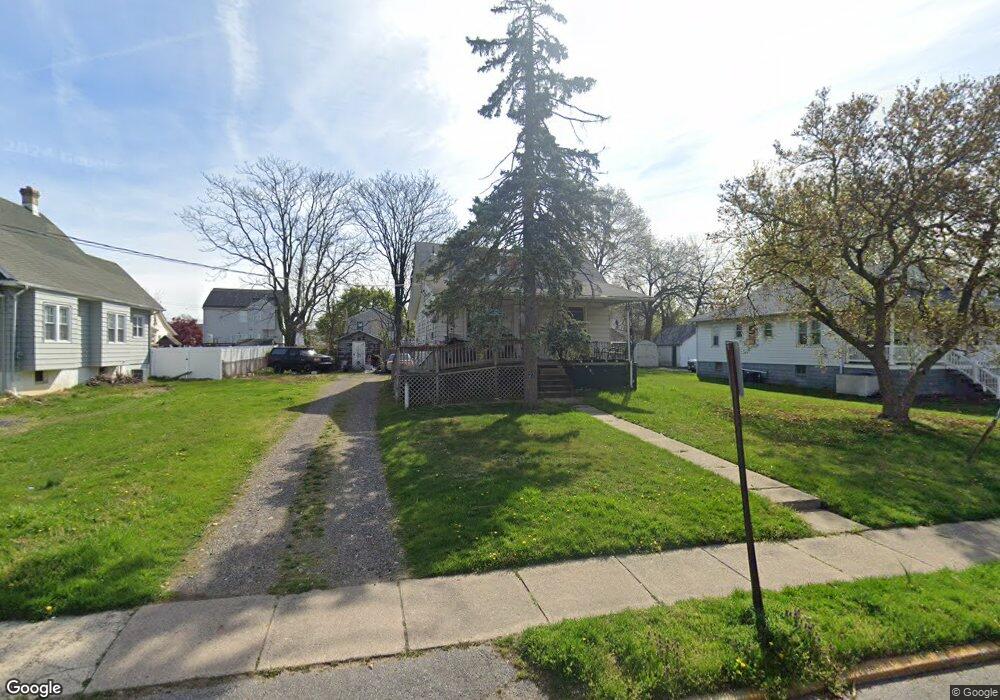
27 S Forklanding Rd Maple Shade, NJ 08052
Estimated Value: $193,000 - $359,000
--
Bed
--
Bath
1,274
Sq Ft
$198/Sq Ft
Est. Value
About This Home
This home is located at 27 S Forklanding Rd, Maple Shade, NJ 08052 and is currently estimated at $251,977, approximately $197 per square foot. 27 S Forklanding Rd is a home located in Burlington County with nearby schools including Ralph J Steinhauer Elementary School, Maude M. Wilkins Elementary School, and Howard R Yocum School.
Ownership History
Date
Name
Owned For
Owner Type
Purchase Details
Closed on
Jun 4, 2021
Sold by
Criscfi Michael Leon
Bought by
Criscfi Daniel M
Current Estimated Value
Purchase Details
Closed on
Sep 30, 2003
Sold by
Crisefi Michael L and Crisefi Donna L
Bought by
Crisefi Michael Leon
Home Financials for this Owner
Home Financials are based on the most recent Mortgage that was taken out on this home.
Original Mortgage
$121,600
Interest Rate
5.25%
Mortgage Type
Purchase Money Mortgage
Purchase Details
Closed on
Sep 24, 1998
Sold by
Abbott Robert E
Bought by
Crisefi Michael L and Crisefi Donna L
Create a Home Valuation Report for This Property
The Home Valuation Report is an in-depth analysis detailing your home's value as well as a comparison with similar homes in the area
Home Values in the Area
Average Home Value in this Area
Purchase History
| Date | Buyer | Sale Price | Title Company |
|---|---|---|---|
| Criscfi Daniel M | $117,185 | Surety Title Company | |
| Crisefi Michael Leon | $152,000 | Congress Title Corp | |
| Crisefi Michael L | $89,900 | American Title Abstract Corp |
Source: Public Records
Mortgage History
| Date | Status | Borrower | Loan Amount |
|---|---|---|---|
| Previous Owner | Crisefi Michael Leon | $121,600 |
Source: Public Records
Tax History Compared to Growth
Tax History
| Year | Tax Paid | Tax Assessment Tax Assessment Total Assessment is a certain percentage of the fair market value that is determined by local assessors to be the total taxable value of land and additions on the property. | Land | Improvement |
|---|---|---|---|---|
| 2025 | $5,413 | $142,600 | $44,700 | $97,900 |
| 2024 | $5,256 | $142,600 | $44,700 | $97,900 |
| 2023 | $5,256 | $142,600 | $44,700 | $97,900 |
| 2022 | $5,175 | $142,600 | $44,700 | $97,900 |
| 2021 | $5,125 | $142,600 | $44,700 | $97,900 |
| 2020 | $5,139 | $142,600 | $44,700 | $97,900 |
| 2019 | $4,951 | $142,600 | $44,700 | $97,900 |
| 2018 | $4,866 | $142,600 | $44,700 | $97,900 |
| 2017 | $4,808 | $142,600 | $44,700 | $97,900 |
| 2016 | $4,737 | $142,600 | $44,700 | $97,900 |
| 2015 | $4,635 | $142,600 | $44,700 | $97,900 |
| 2014 | $4,493 | $142,600 | $44,700 | $97,900 |
Source: Public Records
Map
Nearby Homes
- 112 S Maple Ave
- 26 N Poplar Ave
- 22 Theodore Ave
- 120 E Center Ave
- 57 S Terrace Ave
- 52 S Fellowship Rd
- 19 S Chestnut Ave
- 104 E Laurelton Ave
- 48 N Terrace Ave
- 29 W Broadway
- 410 S Forklanding Rd
- 44 S Pine Ave
- 2 Gainor Ave
- 702 E Main St
- 15 S Pine Ave
- 301 N Coles Ave
- 202 S Cedar Ave
- 480 W Front St
- 19 Farnsworth Ave
- 31 S Boulevard Ave
- 23 S Forklanding Rd
- 33 S Forklanding Rd
- 39 S Forklanding Rd
- 26 S Maple Ave
- 30 S Maple Ave
- 22 S Maple Ave
- 15 S Forklanding Rd
- 34 S Forklanding Rd
- 40 S Maple Ave
- 18 S Maple Ave
- 43 S Forklanding Rd
- 36 S Forklanding Rd
- 18 S Forklanding Rd
- 22 S Forklanding Rd
- 38 S Forklanding Rd
- 42 S Forklanding Rd
- 51 S Forklanding Rd
- 44 S Forklanding Rd
- 12 Helen Ave
- 21 Helen Ave