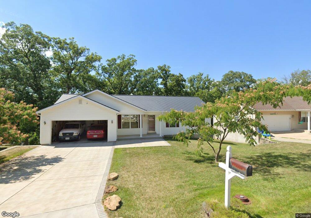
27 S Kern Dr O Fallon, MO 63366
Estimated Value: $294,453 - $323,000
3
Beds
2
Baths
1,267
Sq Ft
$245/Sq Ft
Est. Value
About This Home
This home is located at 27 S Kern Dr, O Fallon, MO 63366 and is currently estimated at $310,613, approximately $245 per square foot. 27 S Kern Dr is a home located in St. Charles County with nearby schools including Green Tree Elementary School, Wentzville South Middle School, and Timberland High School.
Ownership History
Date
Name
Owned For
Owner Type
Purchase Details
Closed on
Mar 29, 2002
Sold by
Blomberg Christopher C and Blomberg Lisa K
Bought by
Robinson Chad
Current Estimated Value
Home Financials for this Owner
Home Financials are based on the most recent Mortgage that was taken out on this home.
Original Mortgage
$132,050
Outstanding Balance
$54,623
Interest Rate
6.78%
Estimated Equity
$255,990
Purchase Details
Closed on
Apr 18, 2001
Sold by
Guetersloh Donald G and Guetersloh Irma L
Bought by
Blomberg Christopher C and Blomberg Lisa K
Purchase Details
Closed on
Nov 14, 2000
Sold by
Guetersloh Donald G and Estate Of Herbert Leo Guetersl
Bought by
Guetersloh Donald G
Create a Home Valuation Report for This Property
The Home Valuation Report is an in-depth analysis detailing your home's value as well as a comparison with similar homes in the area
Home Values in the Area
Average Home Value in this Area
Purchase History
| Date | Buyer | Sale Price | Title Company |
|---|---|---|---|
| Robinson Chad | $139,000 | -- | |
| Blomberg Christopher C | -- | -- | |
| Guetersloh Donald G | -- | -- |
Source: Public Records
Mortgage History
| Date | Status | Borrower | Loan Amount |
|---|---|---|---|
| Open | Robinson Chad | $132,050 |
Source: Public Records
Tax History
| Year | Tax Paid | Tax Assessment Tax Assessment Total Assessment is a certain percentage of the fair market value that is determined by local assessors to be the total taxable value of land and additions on the property. | Land | Improvement |
|---|---|---|---|---|
| 2025 | $2,958 | $50,010 | -- | -- |
| 2023 | $2,956 | $44,919 | $0 | $0 |
| 2022 | $2,584 | $36,481 | $0 | $0 |
| 2021 | $2,582 | $36,481 | $0 | $0 |
| 2020 | $2,398 | $33,028 | $0 | $0 |
| 2019 | $2,226 | $33,028 | $0 | $0 |
| 2018 | $1,977 | $27,901 | $0 | $0 |
| 2017 | $1,967 | $27,901 | $0 | $0 |
| 2016 | $1,886 | $26,555 | $0 | $0 |
| 2015 | $1,853 | $26,555 | $0 | $0 |
| 2014 | $1,674 | $24,557 | $0 | $0 |
Source: Public Records
Map
Nearby Homes
- 703 Norwood Terrace
- 2 Royal Dr
- 680 Lakewood Dr
- 655 Lakewood Dr
- 7 King Cir
- 1012 Delmar Dr
- 617 Lakeview Rd
- 903 Palmer Ct Unit 3
- 1011 Fairways Dr
- 1382 Apple Valley Dr
- 1015 Fairways Dr
- 263 Tyndale Dr
- 22 Holloway Dr
- 410 Charlemagne Dr
- 35 Monterey Cypress Dr Unit 2
- 856 Brookmead Dr
- 1373 Sunburst Dr
- 9 Woodview Dr
- 1104 S Charlemagne Dr
- 15 Eagles Way Ln
- 25 S Kern Dr
- 29 S Kern Dr
- 23 S Kern Dr
- 31 S Kern Dr
- 26 S Kern Dr
- 36 S Kern Lot Dr
- 28 S Kern Dr
- 24 S Kern Dr
- 21 S Kern Dr
- 6 Carr Cir
- 3 Carr Cir
- 3 Cottage Cir
- 705 Norwood Terrace
- 706 Huntwood Terrace
- 708 Huntwood Terrace
- 19 S Kern Dr
- 707 Norwood Terrace
- 704 Huntwood Terrace
- 710 Huntwood Terrace
- 20 S Kern Dr
Your Personal Tour Guide
Ask me questions while you tour the home.