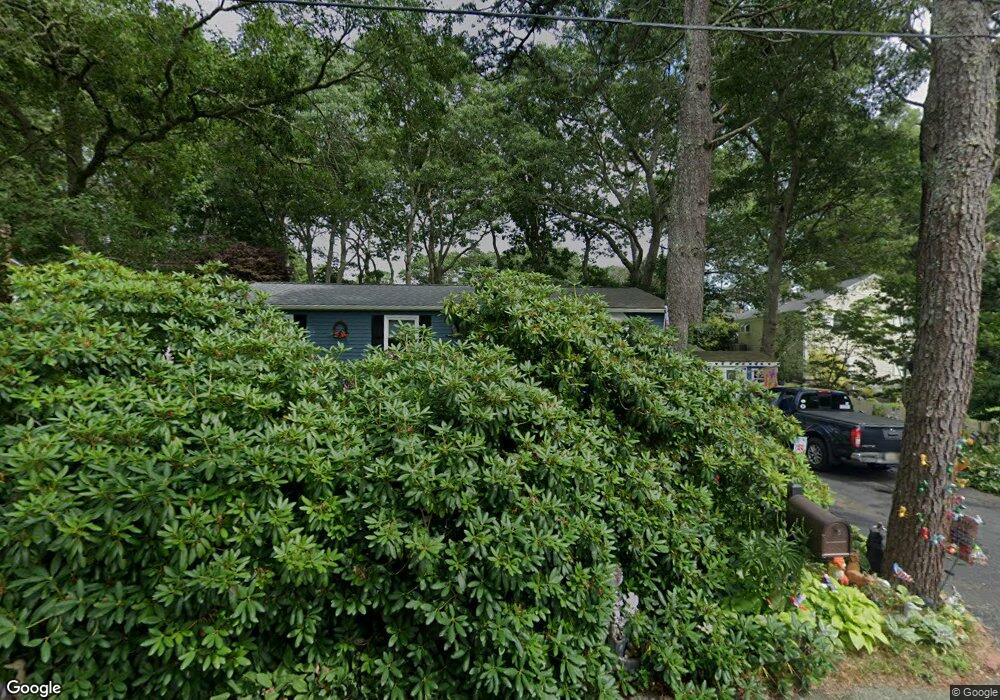
27 Sabbatt Rd Pocasset, MA 02559
Pocasset NeighborhoodEstimated Value: $478,000 - $539,000
3
Beds
1
Bath
1,012
Sq Ft
$496/Sq Ft
Est. Value
About This Home
This home is located at 27 Sabbatt Rd, Pocasset, MA 02559 and is currently estimated at $502,353, approximately $496 per square foot. 27 Sabbatt Rd is a home located in Barnstable County with nearby schools including Bourne High School, Cadence Academy Preschool - Bourne, and St Margaret Regional School.
Create a Home Valuation Report for This Property
The Home Valuation Report is an in-depth analysis detailing your home's value as well as a comparison with similar homes in the area
Home Values in the Area
Average Home Value in this Area
Tax History Compared to Growth
Tax History
| Year | Tax Paid | Tax Assessment Tax Assessment Total Assessment is a certain percentage of the fair market value that is determined by local assessors to be the total taxable value of land and additions on the property. | Land | Improvement |
|---|---|---|---|---|
| 2025 | $2,982 | $381,800 | $191,900 | $189,900 |
| 2024 | $3,049 | $380,200 | $199,400 | $180,800 |
| 2023 | $2,983 | $338,600 | $176,500 | $162,100 |
| 2022 | $2,743 | $271,900 | $143,200 | $128,700 |
| 2021 | $2,664 | $247,400 | $130,300 | $117,100 |
| 2020 | $2,584 | $240,600 | $129,100 | $111,500 |
| 2019 | $2,462 | $234,300 | $129,100 | $105,200 |
| 2018 | $2,354 | $223,300 | $128,500 | $94,800 |
| 2017 | $2,278 | $221,200 | $127,300 | $93,900 |
| 2016 | $2,203 | $216,800 | $127,300 | $89,500 |
| 2015 | $1,793 | $178,100 | $88,600 | $89,500 |
Source: Public Records
Map
Nearby Homes
- 7 4th Ave
- 15 1st St
- 41 Portside Dr
- 940 County Rd
- 940 County Rd
- 709 County Rd
- 254 Barlows Landing Rd
- 39 Bennets Neck Dr
- 3 Red Brook Pond Dr
- 171 Bellavista Dr
- 515 County Rd
- 48 Red Brook Harbor Rd
- 22 Nairn Rd
- 1234 Route 28a
- 93 Valley Bars Rd
- 14 Navajo Rd
- 1234 Route 28a
- 30 Howard Ave
- 34 Kenwood Rd
- 70 Wings Neck Rd