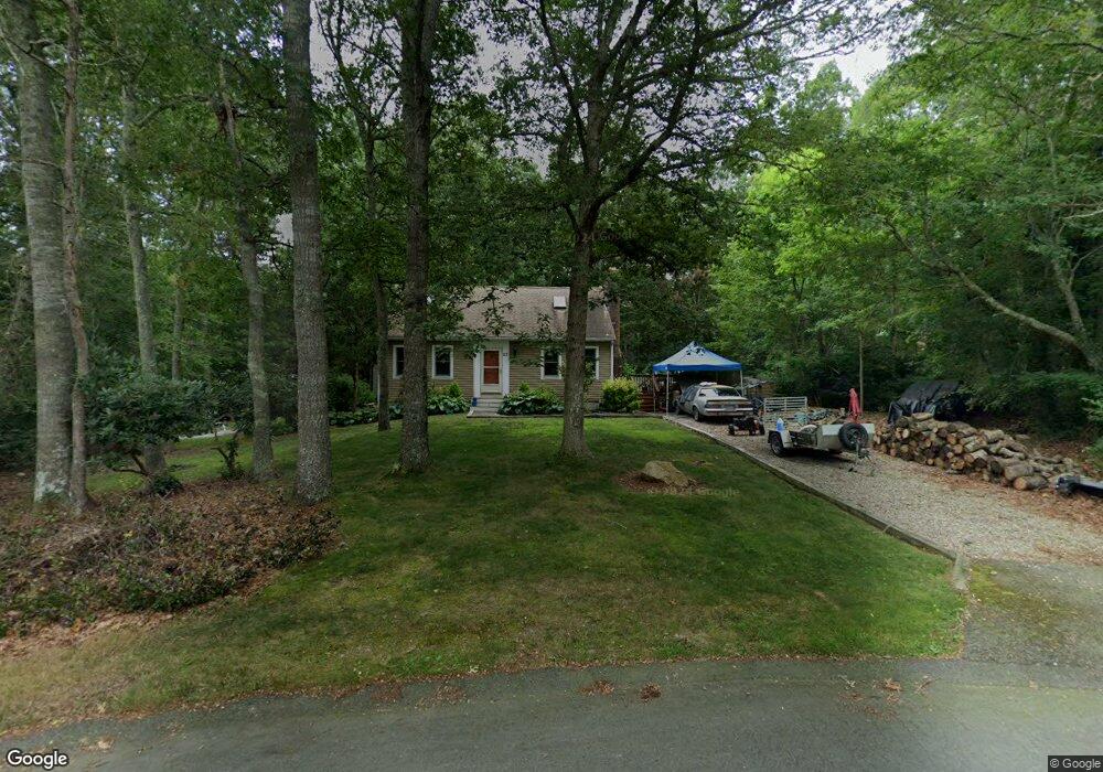
27 Sanderling Dr Bourne, MA 2532
Cataumet NeighborhoodEstimated Value: $547,000 - $621,000
3
Beds
2
Baths
1,501
Sq Ft
$389/Sq Ft
Est. Value
About This Home
This home is located at 27 Sanderling Dr, Bourne, MA 2532 and is currently estimated at $583,170, approximately $388 per square foot. 27 Sanderling Dr is a home located in Barnstable County with nearby schools including Bourne High School, Cadence Academy Preschool - Bourne, and Heritage Christian Academy.
Ownership History
Date
Name
Owned For
Owner Type
Purchase Details
Closed on
Dec 4, 1998
Sold by
Leitner Laurie P
Bought by
Schuchman Daryl L
Current Estimated Value
Home Financials for this Owner
Home Financials are based on the most recent Mortgage that was taken out on this home.
Original Mortgage
$109,600
Interest Rate
6.68%
Mortgage Type
Purchase Money Mortgage
Purchase Details
Closed on
Oct 5, 1989
Sold by
Fisher Peter G
Bought by
Equity Preservation
Create a Home Valuation Report for This Property
The Home Valuation Report is an in-depth analysis detailing your home's value as well as a comparison with similar homes in the area
Home Values in the Area
Average Home Value in this Area
Purchase History
| Date | Buyer | Sale Price | Title Company |
|---|---|---|---|
| Schuchman Daryl L | $110,000 | -- | |
| Schuchman Daryl L | $110,000 | -- | |
| Equity Preservation | $135,000 | -- |
Source: Public Records
Mortgage History
| Date | Status | Borrower | Loan Amount |
|---|---|---|---|
| Open | Equity Preservation | $153,000 | |
| Closed | Equity Preservation | $150,000 | |
| Closed | Equity Preservation | $109,600 |
Source: Public Records
Tax History
| Year | Tax Paid | Tax Assessment Tax Assessment Total Assessment is a certain percentage of the fair market value that is determined by local assessors to be the total taxable value of land and additions on the property. | Land | Improvement |
|---|---|---|---|---|
| 2025 | $3,783 | $484,400 | $235,000 | $249,400 |
| 2024 | $3,700 | $461,300 | $223,800 | $237,500 |
| 2023 | $3,605 | $409,200 | $198,100 | $211,100 |
| 2022 | $3,459 | $342,800 | $175,300 | $167,500 |
| 2021 | $3,360 | $312,000 | $159,500 | $152,500 |
| 2020 | $3,184 | $296,500 | $158,000 | $138,500 |
| 2019 | $3,052 | $290,400 | $158,000 | $132,400 |
| 2018 | $2,915 | $276,600 | $150,500 | $126,100 |
| 2017 | $2,883 | $279,900 | $155,000 | $124,900 |
| 2016 | $2,613 | $257,200 | $155,000 | $102,200 |
| 2015 | $2,531 | $251,300 | $149,100 | $102,200 |
Source: Public Records
Map
Nearby Homes
- 31 Baxendale Rd
- 15 Oak Ave
- 1234 Route 28a
- 1234 Route 28a
- 289 Old Main Rd
- 250 Scraggy Neck Rd
- 48 Red Brook Harbor Rd
- 75 Winsor Rd
- 393 N Falmouth Hwy Unit 8
- 14 Ryder Rd
- 10 Rockledge Dr
- 267 N Falmouth Hwy
- 209 Waterside Dr
- 91 Wickertree Rd
- 213 N Falmouth Hwy Unit 5A
- 41 Braeburn Ct
- 16 Michael Rd
- 75 Streeter Hill Rd
- 7 4th Ave
- 3 4th Ave
- 4 Pintail Cir
- 19 Whimbrel Dr
- 15 Whimbrel Dr
- 25 Sanderling Dr
- 25 Sanderling Dr
- 23 Sanderling Dr
- 23 Whimbrel Dr
- 25 Whimbrel Dr
- 23 Sanderling Dr
- 24 Whimbrel Dr
- 21 Sanderling Dr
- 21 Sanderling Dr
- 22 Whimbrel Dr
- 21 Whimbrel Dr
- 24 Whimbrel Dr
- 19 Sanderling Dr
- 1349 Route 28a
- 26 Whimbrel Dr
- 26 Whimbrel Dr
- 17 Sanderling Dr
Your Personal Tour Guide
Ask me questions while you tour the home.