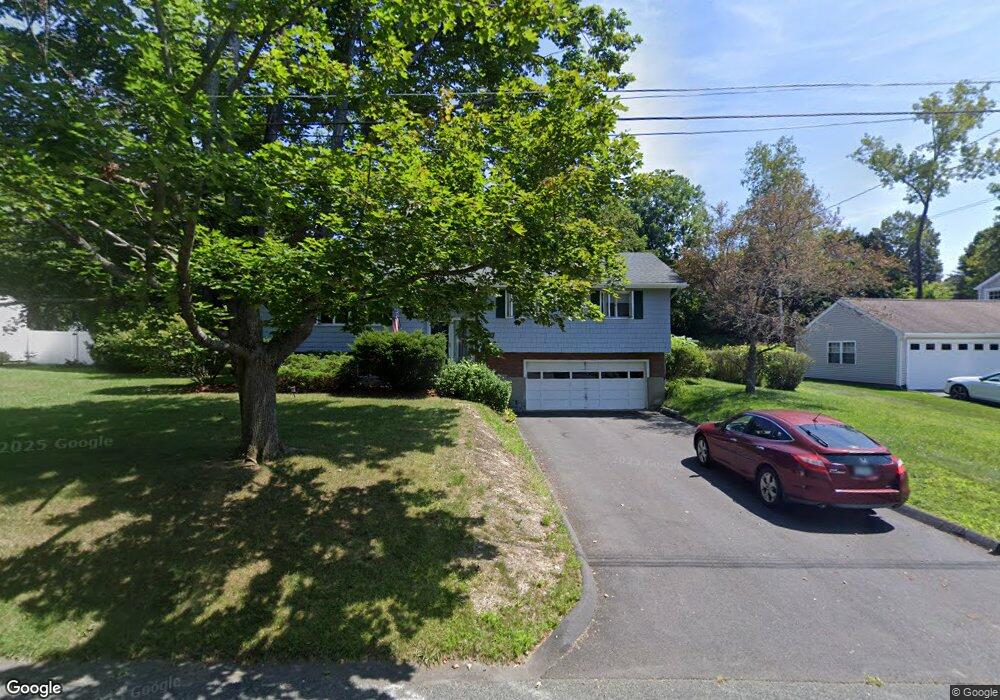
27 Sherwood Dr Pittsfield, MA 01201
Estimated Value: $341,957 - $413,000
3
Beds
3
Baths
1,862
Sq Ft
$207/Sq Ft
Est. Value
About This Home
This home is located at 27 Sherwood Dr, Pittsfield, MA 01201 and is currently estimated at $385,239, approximately $206 per square foot. 27 Sherwood Dr is a home located in Berkshire County with nearby schools including Crosby Elementary School, John T. Reid Middle School, and Taconic High School.
Ownership History
Date
Name
Owned For
Owner Type
Purchase Details
Closed on
Aug 18, 2021
Sold by
Beaulieu Alfred G
Bought by
Community Ld Llc
Current Estimated Value
Purchase Details
Closed on
Sep 19, 2003
Sold by
Kelly Marciane T
Bought by
Sommerville Samuel and Sommerville Vicki R
Purchase Details
Closed on
Jun 4, 1993
Sold by
Salvatore Alan M
Bought by
Kelly Dennis P and Kelly Marciane
Home Financials for this Owner
Home Financials are based on the most recent Mortgage that was taken out on this home.
Original Mortgage
$96,500
Interest Rate
7.33%
Mortgage Type
Purchase Money Mortgage
Create a Home Valuation Report for This Property
The Home Valuation Report is an in-depth analysis detailing your home's value as well as a comparison with similar homes in the area
Home Values in the Area
Average Home Value in this Area
Purchase History
| Date | Buyer | Sale Price | Title Company |
|---|---|---|---|
| Community Ld Llc | $1,000 | None Available | |
| Sommerville Samuel | $178,500 | -- | |
| Kelly Dennis P | $107,500 | -- |
Source: Public Records
Mortgage History
| Date | Status | Borrower | Loan Amount |
|---|---|---|---|
| Previous Owner | Kelly Dennis P | $96,500 | |
| Previous Owner | Kelly Dennis P | $30,000 |
Source: Public Records
Tax History Compared to Growth
Tax History
| Year | Tax Paid | Tax Assessment Tax Assessment Total Assessment is a certain percentage of the fair market value that is determined by local assessors to be the total taxable value of land and additions on the property. | Land | Improvement |
|---|---|---|---|---|
| 2025 | $6,460 | $360,100 | $81,100 | $279,000 |
| 2024 | $6,192 | $335,600 | $81,100 | $254,500 |
| 2023 | $5,784 | $315,700 | $81,100 | $234,600 |
| 2022 | $5,111 | $275,400 | $81,100 | $194,300 |
| 2021 | $4,926 | $255,900 | $81,100 | $174,800 |
| 2020 | $4,734 | $240,200 | $71,100 | $169,100 |
| 2019 | $4,375 | $225,300 | $66,100 | $159,200 |
| 2018 | $4,392 | $219,500 | $66,100 | $153,400 |
| 2017 | $4,095 | $208,600 | $61,100 | $147,500 |
| 2016 | $4,026 | $214,600 | $61,100 | $153,500 |
| 2015 | $3,876 | $214,600 | $61,100 | $153,500 |
Source: Public Records
Map
Nearby Homes
- 66 Roselyn Dr
- 208 Jason St
- 36 Roberta Rd
- 47 Gale Ave
- 2 Amy Ct Unit 2
- 20 Greenway St
- 15 Atlantic Ave
- 14 Summit Ave
- 151 Onota St
- 28 Mckinley Terrace
- 334 Columbus Ave
- 48 W Union St
- 42 John St
- 50 John St
- 39 Circular Ave
- 245 Onota St
- 33 Circular Ave
- 1012 West St
- 71 S Church St Unit S102
- 191 Fort Hill Ave