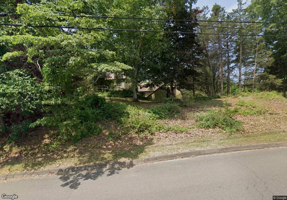
27 Signal Hill Rd Wallingford, CT 06492
Estimated Value: $601,801 - $687,000
4
Beds
4
Baths
2,070
Sq Ft
$306/Sq Ft
Est. Value
About This Home
This home is located at 27 Signal Hill Rd, Wallingford, CT 06492 and is currently estimated at $634,450, approximately $306 per square foot. 27 Signal Hill Rd is a home located in New Haven County with nearby schools including Evarts C. Stevens School, Pond Hill Elementary School, and Dag Hammarskjold Middle School.
Ownership History
Date
Name
Owned For
Owner Type
Purchase Details
Closed on
Apr 6, 2015
Sold by
Kosko John and Kosko Marian
Bought by
Kosko Jessica and Kosko Jennifer
Current Estimated Value
Purchase Details
Closed on
Apr 10, 2014
Sold by
Kosko John P and Kosko Marian
Bought by
Kosko Jason M and Kosko Jennifer M
Purchase Details
Closed on
May 1, 2013
Sold by
Kosko John P and Kosko Marian
Bought by
Kosko Jennifer M and Kosko Jessica L
Purchase Details
Closed on
May 17, 2012
Sold by
Kosko Jennifer M and Kosko Jessica L
Bought by
Kosko Jennifer M and Kosko Jessica I
Purchase Details
Closed on
Apr 4, 2011
Sold by
Kosko John P and Kosko Marian
Bought by
Kosko Jennifer M and Kosko Jason M
Purchase Details
Closed on
Jan 16, 1974
Bought by
Kosko Jessica and Kosko Jennifer
Create a Home Valuation Report for This Property
The Home Valuation Report is an in-depth analysis detailing your home's value as well as a comparison with similar homes in the area
Home Values in the Area
Average Home Value in this Area
Purchase History
| Date | Buyer | Sale Price | Title Company |
|---|---|---|---|
| Kosko Jessica | -- | -- | |
| Kosko Jason M | -- | -- | |
| Kosko Jennifer M | -- | -- | |
| Kosko Jennifer M | -- | -- | |
| Kosko Jennifer M | -- | -- | |
| Kosko Jessica | -- | -- |
Source: Public Records
Tax History Compared to Growth
Tax History
| Year | Tax Paid | Tax Assessment Tax Assessment Total Assessment is a certain percentage of the fair market value that is determined by local assessors to be the total taxable value of land and additions on the property. | Land | Improvement |
|---|---|---|---|---|
| 2025 | $8,727 | $361,800 | $113,400 | $248,400 |
| 2024 | $7,975 | $260,100 | $94,500 | $165,600 |
| 2023 | $7,631 | $260,100 | $94,500 | $165,600 |
| 2022 | $7,553 | $260,100 | $94,500 | $165,600 |
| 2021 | $7,418 | $260,100 | $94,500 | $165,600 |
| 2020 | $7,727 | $264,700 | $112,600 | $152,100 |
| 2019 | $7,727 | $264,700 | $112,600 | $152,100 |
| 2018 | $7,581 | $264,700 | $112,600 | $152,100 |
| 2017 | $7,557 | $264,700 | $112,600 | $152,100 |
| 2016 | $7,382 | $264,700 | $112,600 | $152,100 |
| 2015 | $7,436 | $270,700 | $112,600 | $158,100 |
| 2014 | $7,279 | $270,700 | $112,600 | $158,100 |
Source: Public Records
Map
Nearby Homes
- 11 Birchwood Rd
- 22 Carlen Dr
- 12 Roxbury Ln
- 126 Cooke Rd
- 26 Mallard Ct
- 513 Pilgrim Harbor
- 6 Cypress Ln Unit 2
- 3 Pilgrim Harbor Unit C
- 10 Pilgrim Harbor Unit D
- 3 Pilgrim Harbor Unit A
- 7 Cypress Ln Unit 3
- 41 Northford Rd
- 84 Oxbow Ln
- 60 Spruce St
- 14 Saint Andrews Cir Unit 6
- 29 Oxbow Ln
- 32 Brian Rd
- 24 Evergreen Rd
- 341 Long Hill Rd
- 929 Totoket Rd
- 23 Signal Hill Rd
- 11 New England Dr
- 10 New England Dr
- 2 New England Dr
- 19 Signal Hill Rd
- 26 Signal Hill Rd
- 3 Smoke Rise Rd
- 2 Smoke Rise Rd
- 8 New England Dr
- 14 New England Dr
- 22 Signal Hill Rd
- 15 Signal Hill Rd
- 18 Signal Hill Rd
- 7 Smoke Rise Rd
- 15 New England Dr
- 12 Burning Tree Ln
- 8 Burning Tree Ln
- 8 Smoke Rise Rd
- 18 New England Dr
- 14 Signal Hill Rd