27 Smiths Point Rd Manchester, MA 01944
Estimated Value: $4,546,000 - $12,206,632
4
Beds
5
Baths
8,752
Sq Ft
$957/Sq Ft
Est. Value
About This Home
This home is located at 27 Smiths Point Rd, Manchester, MA 01944 and is currently estimated at $8,376,316, approximately $957 per square foot. 27 Smiths Point Rd is a home located in Essex County with nearby schools including Manchester Essex Regional High School, Tara Montessori School, and Glen Urquhart School.
Ownership History
Date
Name
Owned For
Owner Type
Purchase Details
Closed on
Dec 19, 2022
Sold by
Wright David B and Wright Katherine
Bought by
Kragsyde Holdings Llc
Current Estimated Value
Purchase Details
Closed on
Dec 22, 2014
Sold by
Sawtooth Investments L
Bought by
Wright David B and Wright Katherine
Purchase Details
Closed on
Jul 14, 2011
Sold by
Demeter Steven C and Demeter Marjorie L
Bought by
Sawtooth Invest Llp
Home Financials for this Owner
Home Financials are based on the most recent Mortgage that was taken out on this home.
Original Mortgage
$0
Interest Rate
4.85%
Create a Home Valuation Report for This Property
The Home Valuation Report is an in-depth analysis detailing your home's value as well as a comparison with similar homes in the area
Home Values in the Area
Average Home Value in this Area
Purchase History
We collect this data history from publicly available records. To have your information removed, we recommend requesting removal directly through your county’s website.
| Date | Buyer | Sale Price | Title Company |
|---|---|---|---|
| Kragsyde Holdings Llc | $11,500,000 | None Available | |
| Wright David B | -- | -- | |
| Wright David B | -- | -- | |
| Sawtooth Invest Llp | $4,557,000 | -- | |
| Demeter Steven C | $3,090,000 | -- | |
| Sawtooth Invest Llp | $4,557,000 | -- |
Source: Public Records
Mortgage History
We collect this data history from publicly available records. To have your information removed, we recommend requesting removal directly through your county’s website.
| Date | Status | Borrower | Loan Amount |
|---|---|---|---|
| Previous Owner | Sawtooth Invest Llp | $0 | |
| Previous Owner | Sawtooth Invest Llp | $778,963 |
Source: Public Records
Tax History
| Year | Tax Paid | Tax Assessment Tax Assessment Total Assessment is a certain percentage of the fair market value that is determined by local assessors to be the total taxable value of land and additions on the property. | Land | Improvement |
|---|---|---|---|---|
| 2025 | $101,904 | $11,137,000 | $4,568,600 | $6,568,400 |
| 2024 | $101,184 | $10,821,800 | $4,390,600 | $6,431,200 |
| 2023 | $77,503 | $7,430,800 | $3,777,700 | $3,653,100 |
| 2022 | $77,670 | $7,327,400 | $3,777,700 | $3,549,700 |
| 2021 | $73,388 | $6,677,700 | $3,541,600 | $3,136,100 |
| 2020 | $68,211 | $5,830,000 | $2,951,300 | $2,878,700 |
| 2019 | $65,473 | $5,830,200 | $2,951,300 | $2,878,900 |
| 2018 | $59,671 | $5,409,900 | $2,951,300 | $2,458,600 |
| 2017 | $50,713 | $4,610,300 | $2,951,300 | $1,659,000 |
| 2016 | $50,962 | $4,603,600 | $2,951,300 | $1,652,300 |
| 2015 | $44,199 | $4,077,400 | $2,951,300 | $1,126,100 |
Source: Public Records
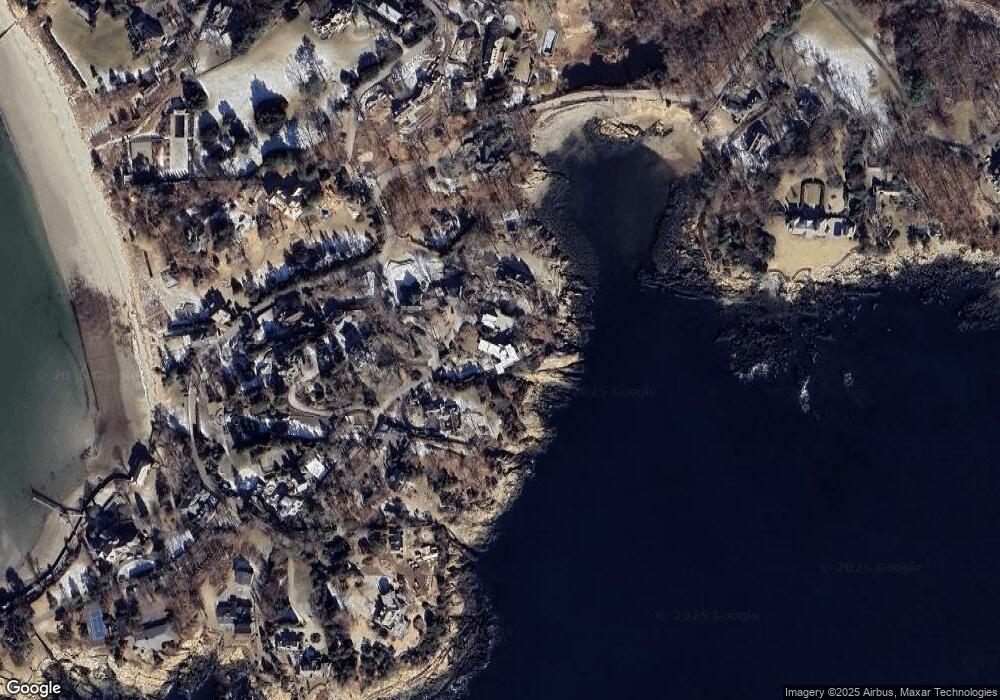
Map
Nearby Homes
- 25 Smiths Point Rd
- 31 Smiths Point Rd
- 29 Smiths Point Rd
- 16 Smiths Point Rd
- 33 Smiths Point Rd
- 21 Smiths Point Rd
- 14 Smiths Point Rd
- 10 Smiths Point Rd
- 7 Smiths Point Rd
- 12 Smiths Point Rd
- 6 Smiths Point Rd
- 19 Smiths Point Rd
- 13 Smiths Point Rd
- 4 Smiths Point Rd
- 50 Masconomo St
- 54 Masconomo St
- 52 Masconomo St
- 1 Gales Point Rd
- 3 Gales Point Rd
- 56 Masconomo St
Your Personal Tour Guide
Ask me questions while you tour the home.