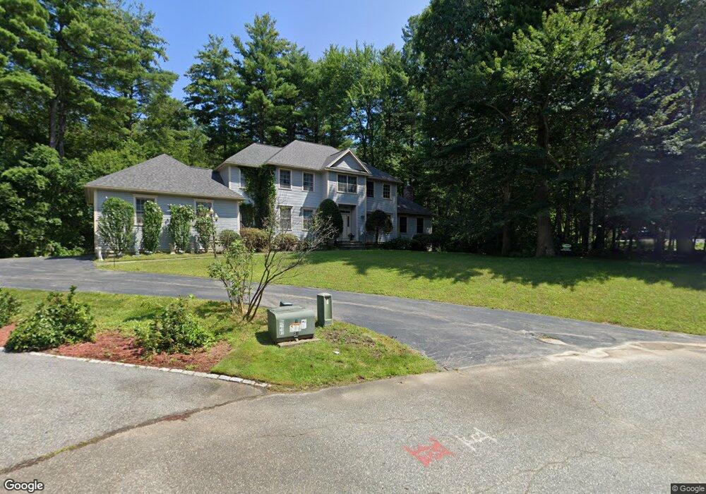
27 Somerset Dr Andover, MA 01810
Far West Andover NeighborhoodEstimated Value: $1,226,000 - $1,765,000
4
Beds
4
Baths
4,213
Sq Ft
$354/Sq Ft
Est. Value
About This Home
This home is located at 27 Somerset Dr, Andover, MA 01810 and is currently estimated at $1,490,884, approximately $353 per square foot. 27 Somerset Dr is a home located in Essex County with nearby schools including High Plain Elementary School, Wood Hill Middle School, and Andover High School.
Ownership History
Date
Name
Owned For
Owner Type
Purchase Details
Closed on
Nov 13, 1998
Sold by
Somerset Construction
Bought by
Piacopolos Ernest M and Bloom Gail M
Current Estimated Value
Purchase Details
Closed on
Mar 27, 1998
Sold by
Atm Realty Corp
Bought by
Somerset Constr
Create a Home Valuation Report for This Property
The Home Valuation Report is an in-depth analysis detailing your home's value as well as a comparison with similar homes in the area
Home Values in the Area
Average Home Value in this Area
Purchase History
| Date | Buyer | Sale Price | Title Company |
|---|---|---|---|
| Piacopolos Ernest M | $523,642 | -- | |
| Piacopolos Ernest M | $523,642 | -- | |
| Somerset Constr | $125,000 | -- | |
| Somerset Constr | $125,000 | -- |
Source: Public Records
Mortgage History
| Date | Status | Borrower | Loan Amount |
|---|---|---|---|
| Open | Somerset Constr | $313,000 | |
| Closed | Somerset Constr | $364,000 | |
| Closed | Somerset Constr | $25,000 |
Source: Public Records
Tax History Compared to Growth
Tax History
| Year | Tax Paid | Tax Assessment Tax Assessment Total Assessment is a certain percentage of the fair market value that is determined by local assessors to be the total taxable value of land and additions on the property. | Land | Improvement |
|---|---|---|---|---|
| 2024 | $15,063 | $1,169,500 | $488,400 | $681,100 |
| 2023 | $14,145 | $1,035,500 | $417,600 | $617,900 |
| 2022 | $13,566 | $929,200 | $376,300 | $552,900 |
| 2021 | $13,041 | $852,900 | $342,300 | $510,600 |
| 2020 | $12,677 | $844,600 | $342,300 | $502,300 |
| 2019 | $12,479 | $817,200 | $323,100 | $494,100 |
| 2018 | $12,054 | $770,700 | $313,900 | $456,800 |
| 2017 | $11,587 | $763,300 | $307,900 | $455,400 |
| 2016 | $11,594 | $782,300 | $323,900 | $458,400 |
| 2015 | $11,353 | $758,400 | $323,900 | $434,500 |
Source: Public Records
Map
Nearby Homes
- 701 Brookside Dr
- 15 North St
- 4 Weeping Willow Dr
- 29 Glenwood Dr
- 0
- 11 Devonshire St
- 41 Pembroke Dr
- 166 Greenwood Rd
- 439-443 Riverside Dr
- 42 Marique Dr
- 4 Bourque St
- 749-751 Riverside Dr
- 18 Ames St
- 88 Beacon St Unit 7
- 866 Riverside Dr
- 37 Tewksbury St Unit 39
- 34 Burnham Rd Unit 202
- 8 Packard St
- 312 Water St Unit 13
- 5 Marc Ln
- 25 Somerset Dr
- 25 Somerset Dr
- 29 Somerset Dr
- 28 Somerset Dr
- 23 Somerset Dr
- 26 Somerset Dr
- 17 Somerset Dr
- 300 Brookside Dr Unit H
- 300 Brookside Dr Unit G
- 300 Brookside Dr Unit F
- 300 Brookside Dr Unit E
- 300 Brookside Dr Unit D
- 300 Brookside Dr Unit C
- 300 Brookside Dr Unit B
- 300 Brookside Dr Unit A
- 303 Brookside Dr
- 302 Brookside Dr
- 301 Brookside Dr
- 300 Brookside Dr
- 302 Brookside Dr Unit 302