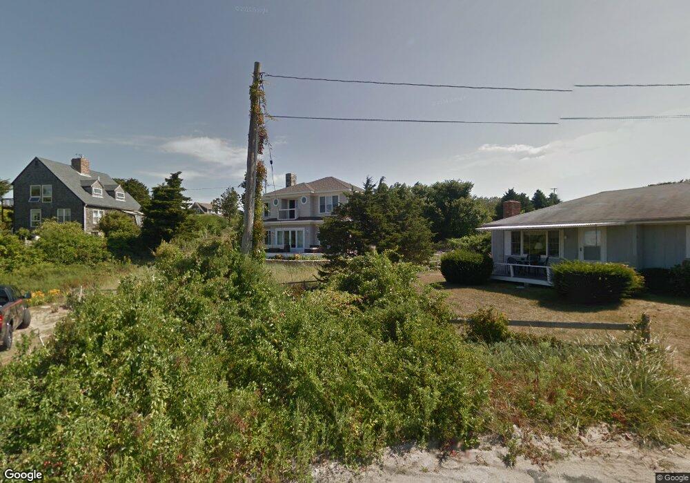
27 Standish Rd Orleans, MA 02653
Estimated Value: $1,438,000 - $2,712,000
4
Beds
1
Bath
1,501
Sq Ft
$1,409/Sq Ft
Est. Value
About This Home
This home is located at 27 Standish Rd, Orleans, MA 02653 and is currently estimated at $2,114,754, approximately $1,408 per square foot. 27 Standish Rd is a home located in Barnstable County with nearby schools including Orleans Elementary School, Nauset Regional Middle School, and Nauset Regional High School.
Ownership History
Date
Name
Owned For
Owner Type
Purchase Details
Closed on
Jul 6, 1995
Sold by
Karlson David Jeffrey and Karlson Andrew Gary
Bought by
Dwyer Patrick
Current Estimated Value
Home Financials for this Owner
Home Financials are based on the most recent Mortgage that was taken out on this home.
Original Mortgage
$166,000
Interest Rate
7.84%
Mortgage Type
Purchase Money Mortgage
Create a Home Valuation Report for This Property
The Home Valuation Report is an in-depth analysis detailing your home's value as well as a comparison with similar homes in the area
Home Values in the Area
Average Home Value in this Area
Purchase History
| Date | Buyer | Sale Price | Title Company |
|---|---|---|---|
| Dwyer Patrick | $207,500 | -- |
Source: Public Records
Mortgage History
| Date | Status | Borrower | Loan Amount |
|---|---|---|---|
| Open | Dwyer Patrick | $187,500 | |
| Closed | Dwyer Patrick | $166,000 |
Source: Public Records
Tax History Compared to Growth
Tax History
| Year | Tax Paid | Tax Assessment Tax Assessment Total Assessment is a certain percentage of the fair market value that is determined by local assessors to be the total taxable value of land and additions on the property. | Land | Improvement |
|---|---|---|---|---|
| 2025 | $12,966 | $2,077,900 | $1,013,100 | $1,064,800 |
| 2024 | $12,151 | $1,895,700 | $993,100 | $902,600 |
| 2023 | $10,992 | $1,764,300 | $919,700 | $844,600 |
| 2022 | $10,582 | $1,469,700 | $836,100 | $633,600 |
| 2021 | $8,588 | $1,310,000 | $773,500 | $536,500 |
| 2020 | $9,742 | $1,288,600 | $773,500 | $515,100 |
| 2019 | $9,342 | $1,262,400 | $751,900 | $510,500 |
| 2018 | $6,232 | $1,234,000 | $737,500 | $496,500 |
| 2017 | $6,227 | $1,188,800 | $737,500 | $451,300 |
| 2016 | $7,087 | $1,097,100 | $650,200 | $446,900 |
| 2015 | $6,938 | $1,080,700 | $637,400 | $443,300 |
Source: Public Records
Map
Nearby Homes
- 26 Standish Rd
- 25 Priscilla Rd
- 23 Priscilla Rd
- 21 Priscilla Rd
- 23 Standish Rd
- 21 Standish Rd
- 29 Priscilla Rd
- 28 Priscilla Rd
- 2 Skunks Bluff
- 18 Standish Rd
- 18 Standish Rd
- 32 Priscilla Rd
- 19 Priscilla Rd
- 35 Alden Rd
- 24 Priscilla Rd
- 2 Iyanough Rd
- 36 Alden Rd
- 22 Priscilla Rd
- 22 Priscilla Rd Unit 24
- 4 Iyanough Rd