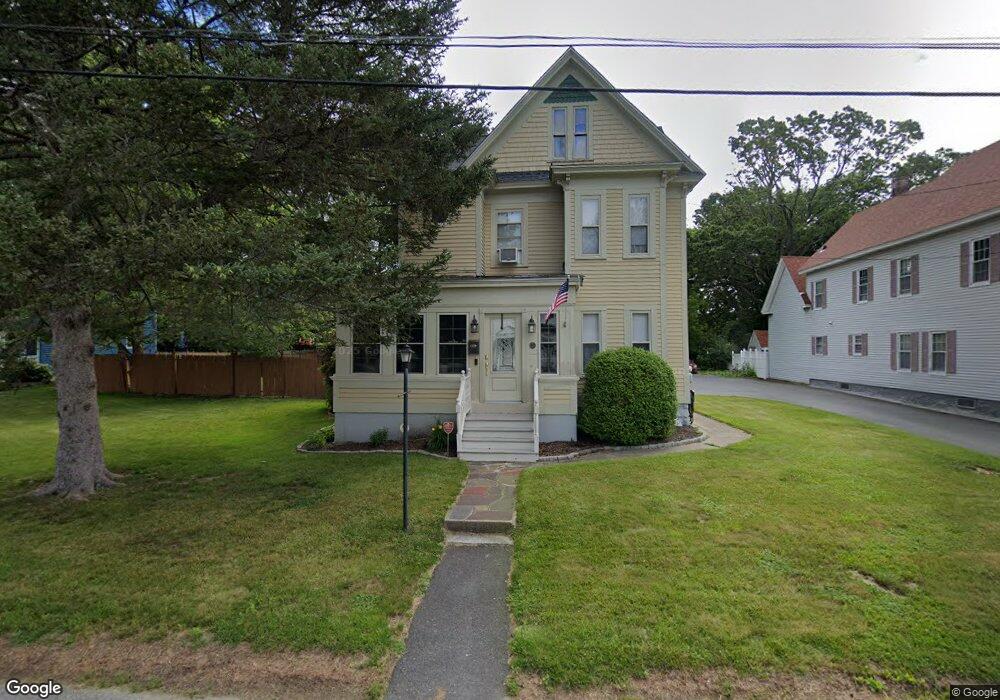
27 Stone St Dracut, MA 01826
Estimated Value: $551,000 - $630,000
5
Beds
3
Baths
2,018
Sq Ft
$295/Sq Ft
Est. Value
About This Home
This home is located at 27 Stone St, Dracut, MA 01826 and is currently estimated at $594,866, approximately $294 per square foot. 27 Stone St is a home located in Middlesex County with nearby schools including Greenmont Avenue School, Richardson Middle School, and Dracut Senior High School.
Ownership History
Date
Name
Owned For
Owner Type
Purchase Details
Closed on
Jun 27, 2016
Sold by
Savlen James and Savlen Lynda A
Bought by
Meuse William and Meuse Amie
Current Estimated Value
Home Financials for this Owner
Home Financials are based on the most recent Mortgage that was taken out on this home.
Original Mortgage
$317,302
Outstanding Balance
$253,221
Interest Rate
3.57%
Mortgage Type
FHA
Estimated Equity
$341,645
Purchase Details
Closed on
Jul 15, 1992
Sold by
Moon John A and Moon Susan
Bought by
Savlen Lynda A
Create a Home Valuation Report for This Property
The Home Valuation Report is an in-depth analysis detailing your home's value as well as a comparison with similar homes in the area
Home Values in the Area
Average Home Value in this Area
Purchase History
| Date | Buyer | Sale Price | Title Company |
|---|---|---|---|
| Meuse William | $325,000 | -- | |
| Savlen Lynda A | $129,900 | -- |
Source: Public Records
Mortgage History
| Date | Status | Borrower | Loan Amount |
|---|---|---|---|
| Open | Meuse William | $317,302 | |
| Previous Owner | Savlen Lynda A | $50,000 | |
| Previous Owner | Savlen Lynda A | $171,000 |
Source: Public Records
Tax History Compared to Growth
Tax History
| Year | Tax Paid | Tax Assessment Tax Assessment Total Assessment is a certain percentage of the fair market value that is determined by local assessors to be the total taxable value of land and additions on the property. | Land | Improvement |
|---|---|---|---|---|
| 2025 | $5,586 | $552,000 | $202,200 | $349,800 |
| 2024 | $5,439 | $520,500 | $192,500 | $328,000 |
| 2023 | $5,230 | $451,600 | $167,400 | $284,200 |
| 2022 | $5,301 | $431,300 | $152,100 | $279,200 |
| 2021 | $17,052 | $394,600 | $138,300 | $256,300 |
| 2020 | $5,152 | $385,900 | $134,200 | $251,700 |
| 2019 | $4,661 | $339,000 | $127,700 | $211,300 |
| 2018 | $4,580 | $323,900 | $127,700 | $196,200 |
| 2017 | $4,324 | $323,900 | $127,700 | $196,200 |
| 2016 | $4,195 | $282,700 | $122,800 | $159,900 |
| 2015 | $4,018 | $269,100 | $122,800 | $146,300 |
| 2014 | $3,411 | $235,400 | $122,800 | $112,600 |
Source: Public Records
Map
Nearby Homes
- 18 Stone St
- 81 Spring Park Ave
- 12 Pemberton St
- 1572 Bridge St
- 345 Hildreth St Unit 14
- 108 Billings St
- 44 19th St
- 363 Hildreth St Unit 11
- 349 Hildreth St Unit 16
- 700 Robbins Ave Unit 6
- 675 Robbins Ave Unit 1
- 35 Thissell Ave
- 2 Sutherland St
- 575 Beacon St
- 650 Robbins Ave Unit 33
- 26 Frank St
- 195 Ludlam St
- 20 Dean Ave
- 87 Lilley Ave
- 3 Hamel Place
- 37 Stone St
- 21 Stone St
- 22 Spring Park Ave
- 26 Delbert St
- 40 Spring Park Ave
- 28 Stone St
- 9 Stone St
- 20 Stone St
- 36 Stone St
- 20 Delbert St
- 40 Stone St
- 21 Spring Park Ave
- 12 Spring Park Ave
- 12 Spring Park Ave Unit 1
- 12 & 14 Spring Park Ave
- 14 Spring Park Ave Unit 1
- 21 Delbert St
- 39 Spring Park Ave
- 510 Pleasant St
- 516 Pleasant St