Estimated Value: $96,178 - $285,000
Studio
--
Bath
2,744
Sq Ft
$82/Sq Ft
Est. Value
About This Home
This home is located at 27 Storage Rd, Eldon, MO 65026 and is currently estimated at $224,295, approximately $81 per square foot. 27 Storage Rd is a home with nearby schools including South Elementary School, Eldon Upper Elementary School, and Eldon Middle School.
Ownership History
Date
Name
Owned For
Owner Type
Purchase Details
Closed on
Apr 12, 2018
Sold by
Faith Baptist Tabernacle Of Etterville
Bought by
Zordel Leonard and Zordel April
Current Estimated Value
Home Financials for this Owner
Home Financials are based on the most recent Mortgage that was taken out on this home.
Original Mortgage
$37,800
Outstanding Balance
$32,430
Interest Rate
4.43%
Mortgage Type
Future Advance Clause Open End Mortgage
Estimated Equity
$191,865
Create a Home Valuation Report for This Property
The Home Valuation Report is an in-depth analysis detailing your home's value as well as a comparison with similar homes in the area
Home Values in the Area
Average Home Value in this Area
Purchase History
| Date | Buyer | Sale Price | Title Company |
|---|---|---|---|
| Zordel Leonard | -- | Miller County Title Co |
Source: Public Records
Mortgage History
| Date | Status | Borrower | Loan Amount |
|---|---|---|---|
| Open | Zordel Leonard | $37,800 |
Source: Public Records
Tax History
| Year | Tax Paid | Tax Assessment Tax Assessment Total Assessment is a certain percentage of the fair market value that is determined by local assessors to be the total taxable value of land and additions on the property. | Land | Improvement |
|---|---|---|---|---|
| 2025 | $427 | $8,800 | $1,140 | $7,660 |
| 2024 | $396 | $7,800 | $1,140 | $6,660 |
| 2023 | $396 | $7,800 | $1,140 | $6,660 |
| 2022 | $396 | $7,800 | $1,140 | $6,660 |
| 2021 | $396 | $7,800 | $1,140 | $6,660 |
| 2020 | $405 | $7,890 | $1,140 | $6,750 |
| 2019 | $406 | $7,890 | $1,140 | $6,750 |
| 2018 | $518 | $9,800 | $1,900 | $7,900 |
| 2017 | $0 | $0 | $0 | $0 |
| 2016 | -- | $0 | $0 | $0 |
| 2015 | -- | $0 | $0 | $0 |
| 2012 | -- | $0 | $0 | $0 |
Source: Public Records
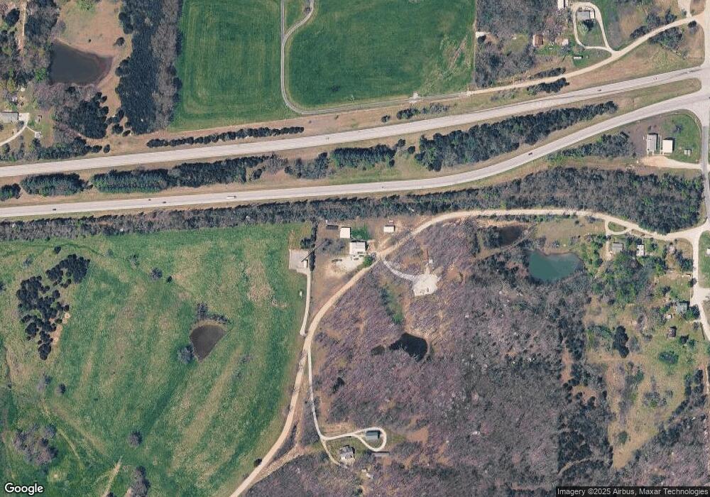
Map
Nearby Homes
- 89 Frank Rd
- Tract 1 Greystone Rd
- Tract 2 Greystone Rd
- Tracts 1-5 Greystone Rd
- Tract 4 Greystone Rd
- Tract 5 Greystone Rd
- Tract 3 Greystone Rd
- Tracts 1 & 4 Greystone Rd
- TBD Highway Mm
- 0 Highway Mm
- 367 Highway Mm
- LOT 7 Henley Estates
- LOT 5 Henley Estates
- LOT 6 Henley Estates
- LOT 8 Henley Estates
- LOT 4 Henley Estates
- LOT 2 Henley Estates
- 13615 Redfield Dr
- Tbd Off of Highway 137
- 0 Shaw Rd
- 28 Storage Rd
- 414 S Cedar St
- 1 Principado de Andorra
- 1102 Hc1 Box 1102
- 9805 N Farm Rd N 149 County Rd County Rd
- 0 Tbd Barr Ave Unit 90637
- Route 1 Box 105 H
- 0 Unknown Unit 17070261
- 9904 Colonnade
- 115 Northview Dr
- 17650 Hwy 25
- 578 Adm Wendt
- 17650 State Hwy 25
- 19649 Solomon Blatt Dr
- 2489 Miami Village Unit D
- 0 Sun Down Unit 16005123
- 0 Spooners Unit 16005109
- 0 Sterling House Unit 16004229
- 0 Rr1 Box 123 Unit 15067906
- 1 Lower Bay House
Your Personal Tour Guide
Ask me questions while you tour the home.