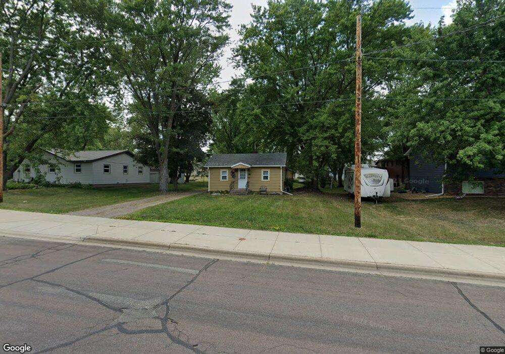
27 Summit Ave S Sauk Rapids, MN 56379
Estimated Value: $141,000 - $168,000
2
Beds
1
Bath
672
Sq Ft
$229/Sq Ft
Est. Value
About This Home
This home is located at 27 Summit Ave S, Sauk Rapids, MN 56379 and is currently estimated at $154,221, approximately $229 per square foot. 27 Summit Ave S is a home located in Benton County with nearby schools including Mississippi Heights Elementary School, Sauk Rapids-Rice Middle School, and Sauk Rapids-Rice Senior High School.
Ownership History
Date
Name
Owned For
Owner Type
Purchase Details
Closed on
Oct 19, 2023
Sold by
Judd Ila Mae
Bought by
Meyer August Maurice
Current Estimated Value
Purchase Details
Closed on
Aug 15, 2019
Sold by
Bjur Cynthia and Bjur Andrew
Bought by
Turbes Judd
Home Financials for this Owner
Home Financials are based on the most recent Mortgage that was taken out on this home.
Original Mortgage
$84,550
Interest Rate
3.7%
Mortgage Type
New Conventional
Purchase Details
Closed on
Feb 16, 2016
Sold by
Bank Of New York Mellon
Bought by
Bjur Andrew and Bjur Cynthia
Purchase Details
Closed on
Apr 3, 2006
Sold by
Eisenschenk Jessica A
Bought by
Reichel Brandon D and Chan Cindy L
Home Financials for this Owner
Home Financials are based on the most recent Mortgage that was taken out on this home.
Original Mortgage
$23,000
Interest Rate
6.33%
Mortgage Type
Stand Alone Second
Create a Home Valuation Report for This Property
The Home Valuation Report is an in-depth analysis detailing your home's value as well as a comparison with similar homes in the area
Home Values in the Area
Average Home Value in this Area
Purchase History
| Date | Buyer | Sale Price | Title Company |
|---|---|---|---|
| Meyer August Maurice | $180,000 | Home Security Abstract & Title | |
| Turbes Judd | $89,000 | Results Title | |
| Bjur Andrew | $97,651 | None Available | |
| Reichel Brandon D | -- | -- |
Source: Public Records
Mortgage History
| Date | Status | Borrower | Loan Amount |
|---|---|---|---|
| Previous Owner | Turbes Judd | $84,550 | |
| Previous Owner | Reichel Brandon D | $23,000 |
Source: Public Records
Tax History
| Year | Tax Paid | Tax Assessment Tax Assessment Total Assessment is a certain percentage of the fair market value that is determined by local assessors to be the total taxable value of land and additions on the property. | Land | Improvement |
|---|---|---|---|---|
| 2025 | $1,542 | $123,500 | $28,600 | $94,900 |
| 2024 | $1,454 | $118,800 | $28,600 | $90,200 |
| 2023 | $1,422 | $118,600 | $28,600 | $90,000 |
| 2022 | $1,398 | $105,400 | $26,000 | $79,400 |
| 2021 | $1,306 | $93,500 | $26,000 | $67,500 |
| 2018 | $1,326 | $81,300 | $25,000 | $56,300 |
| 2017 | $1,326 | $80,300 | $25,000 | $55,300 |
| 2016 | $1,112 | $79,100 | $25,000 | $54,100 |
| 2015 | $864 | $45,200 | $15,007 | $30,193 |
| 2014 | -- | $43,700 | $15,007 | $28,693 |
| 2013 | -- | $47,800 | $15,321 | $32,479 |
Source: Public Records
Map
Nearby Homes
- 113 6th Ave N
- 117 6th Ave N
- 400 7th Ave N
- 507 5th St S
- 608 Summit Ave S
- 37 Portage Trail
- 423 13th Ave S
- 616 2nd Ave N
- 880 Golden Spike Rd NE
- 707 2nd Ave S
- 720 3rd Ave N
- 936 5th St S
- 970 Golden Spike Rd NE
- 1021 5th St S
- 805 2nd Ave S
- TBD Golden Spike Rd
- 809 Broadway Ave S
- 1961 6th Ave N
- 2518 Ocarina Dr
- 1271 Stone Ridge Rd
Your Personal Tour Guide
Ask me questions while you tour the home.