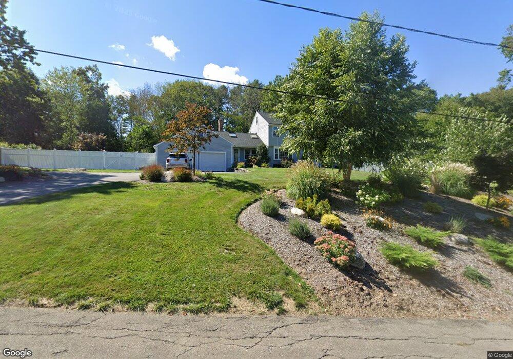
27 Sylvester Rd Scituate, MA 02066
Estimated Value: $1,157,814 - $1,239,000
4
Beds
3
Baths
2,330
Sq Ft
$512/Sq Ft
Est. Value
About This Home
This home is located at 27 Sylvester Rd, Scituate, MA 02066 and is currently estimated at $1,191,954, approximately $511 per square foot. 27 Sylvester Rd is a home located in Plymouth County with nearby schools including Cushing Elementary School, Lester J. Gates Middle School, and Scituate High School.
Ownership History
Date
Name
Owned For
Owner Type
Purchase Details
Closed on
Jun 25, 2010
Sold by
Hopkins Ian and Hopkins Siobhan
Bought by
Lenzi Marco and Lenzi Annemarie
Current Estimated Value
Home Financials for this Owner
Home Financials are based on the most recent Mortgage that was taken out on this home.
Original Mortgage
$350,000
Interest Rate
4.98%
Mortgage Type
Purchase Money Mortgage
Purchase Details
Closed on
Mar 28, 2008
Sold by
Shedd Christopher R
Bought by
Hopkins Ian and Hopkins Siobhan
Home Financials for this Owner
Home Financials are based on the most recent Mortgage that was taken out on this home.
Original Mortgage
$417,000
Interest Rate
5.93%
Purchase Details
Closed on
Aug 27, 2003
Sold by
Zukauskas Viktor J and Zukauskas Pierina G
Bought by
Shedd Christopher R
Create a Home Valuation Report for This Property
The Home Valuation Report is an in-depth analysis detailing your home's value as well as a comparison with similar homes in the area
Home Values in the Area
Average Home Value in this Area
Purchase History
| Date | Buyer | Sale Price | Title Company |
|---|---|---|---|
| Lenzi Marco | $567,700 | -- | |
| Hopkins Ian | $540,000 | -- | |
| Shedd Christopher R | $540,000 | -- |
Source: Public Records
Mortgage History
| Date | Status | Borrower | Loan Amount |
|---|---|---|---|
| Open | Shedd Christopher R | $350,000 | |
| Closed | Lenzi Marco | $350,000 | |
| Previous Owner | Shedd Christopher R | $417,000 |
Source: Public Records
Tax History
| Year | Tax Paid | Tax Assessment Tax Assessment Total Assessment is a certain percentage of the fair market value that is determined by local assessors to be the total taxable value of land and additions on the property. | Land | Improvement |
|---|---|---|---|---|
| 2025 | $9,494 | $950,400 | $444,500 | $505,900 |
| 2024 | $9,326 | $900,200 | $404,100 | $496,100 |
| 2023 | $8,980 | $825,700 | $367,400 | $458,300 |
| 2022 | $8,980 | $711,600 | $322,300 | $389,300 |
| 2021 | $8,659 | $649,600 | $306,900 | $342,700 |
| 2020 | $8,393 | $621,700 | $295,100 | $326,600 |
| 2019 | $8,263 | $601,400 | $289,300 | $312,100 |
| 2018 | $8,006 | $573,900 | $286,400 | $287,500 |
| 2017 | $7,773 | $551,700 | $274,500 | $277,200 |
| 2016 | $7,633 | $539,800 | $262,600 | $277,200 |
| 2015 | $7,071 | $539,800 | $262,600 | $277,200 |
Source: Public Records
Map
Nearby Homes
- 627 First Parish Rd
- 764 First Parish Rd
- 537 First Parish Rd
- 453 Clapp Rd
- 449 Clapp Rd
- 451 Clapp Rd
- 453 - 455 Clapp Rd
- 11 Forest Ln
- 9 Forest Ln Unit 9
- 0 Bates Ln (Lot E Kevin's Way) Unit 73419598
- 2 Webster Farm Way
- 293 Cross St
- 701 Country Way
- 629 Country Way
- 165 R Summer St
- 49 Whittier Dr
- 0 Mt Blue Unit 73374335
- 327 Country Way
- 25 Webster Farm Way
- 23 Webster Farm Way
- 19 Sylvester Rd
- 35 Sylvester Rd
- 34 Sylvester Rd
- 26 Sylvester Rd
- 22 Colonel Mansfield Dr
- 11 Sylvester Rd
- 30 Colonel Mansfield Dr
- 12 Colonel Mansfield Dr
- 18 Sylvester Rd
- 42 Sylvester Rd
- 38 Colonel Mansfield Dr
- 10 Sylvester Rd
- 47 Sylvester Rd
- 59 Sylvester Rd
- 35 Colonel Mansfield Dr
- 674 First Parish Rd Unit 678
- 17 Colonel Mansfield Dr
- 2 Conservation Way
- 688 First Parish Rd
- 43 Colonel Mansfield Dr
Your Personal Tour Guide
Ask me questions while you tour the home.