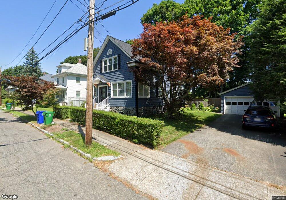
27 Taft Ave West Newton, MA 02465
West Newton NeighborhoodEstimated Value: $980,000 - $1,121,000
3
Beds
2
Baths
1,512
Sq Ft
$689/Sq Ft
Est. Value
About This Home
This home is located at 27 Taft Ave, West Newton, MA 02465 and is currently estimated at $1,042,507, approximately $689 per square foot. 27 Taft Ave is a home located in Middlesex County with nearby schools including Franklin Elementary School, Horace Mann Elementary School, and F.A. Day Middle School.
Create a Home Valuation Report for This Property
The Home Valuation Report is an in-depth analysis detailing your home's value as well as a comparison with similar homes in the area
Home Values in the Area
Average Home Value in this Area
Tax History Compared to Growth
Tax History
| Year | Tax Paid | Tax Assessment Tax Assessment Total Assessment is a certain percentage of the fair market value that is determined by local assessors to be the total taxable value of land and additions on the property. | Land | Improvement |
|---|---|---|---|---|
| 2025 | $8,575 | $875,000 | $789,400 | $85,600 |
| 2024 | $8,291 | $849,500 | $766,400 | $83,100 |
| 2023 | $7,899 | $775,900 | $577,800 | $198,100 |
| 2022 | $7,558 | $718,400 | $535,000 | $183,400 |
| 2021 | $6,079 | $677,700 | $504,700 | $173,000 |
| 2020 | $6,959 | $666,600 | $504,700 | $161,900 |
| 2019 | $5,732 | $647,200 | $490,000 | $157,200 |
| 2018 | $27 | $581,300 | $443,700 | $137,600 |
| 2017 | $6,098 | $548,400 | $418,600 | $129,800 |
| 2016 | $5,832 | $512,500 | $391,200 | $121,300 |
| 2015 | $5,561 | $479,000 | $365,600 | $113,400 |
Source: Public Records
Map
Nearby Homes
- 76 Harding St
- 76 Taft Ave Unit 1
- 76 Taft Ave
- 76 Taft Ave Unit 2
- 75 Cherry St
- 33 Joseph Rd
- 9 John St
- 162 Myrtle St Unit 1
- 1 Farwell Cir
- 39 Clinton St Unit 2
- 39 Clinton St Unit 1
- 138 Myrtle St Unit 2
- 308 Newton St Unit 1
- 312 Newton St Unit 1A
- 24 Tolman St Unit A
- 41 Kilburn Rd
- 287 Cherry St Unit 2
- 176 River St
- 180 River St Unit 9
- 321 Albemarle Rd