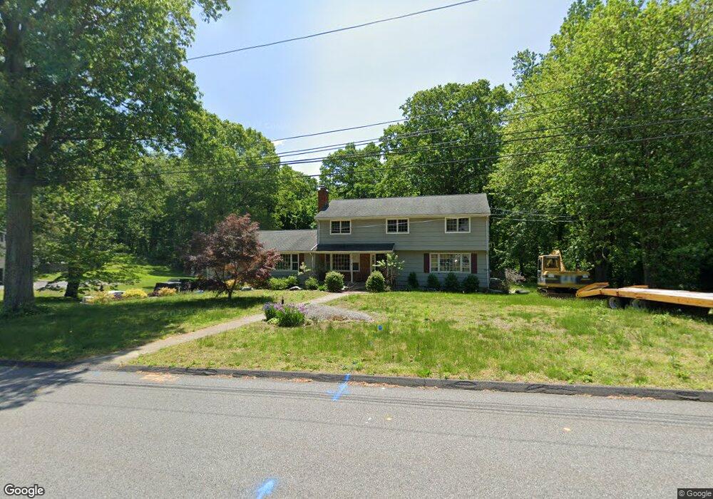
27 Twin Circle Dr Trumbull, CT 06611
Nichols NeighborhoodEstimated Value: $742,000 - $806,000
6
Beds
4
Baths
2,826
Sq Ft
$276/Sq Ft
Est. Value
About This Home
This home is located at 27 Twin Circle Dr, Trumbull, CT 06611 and is currently estimated at $779,805, approximately $275 per square foot. 27 Twin Circle Dr is a home located in Fairfield County with nearby schools including Booth Hill School, Hillcrest Middle School, and Trumbull High School.
Ownership History
Date
Name
Owned For
Owner Type
Purchase Details
Closed on
Nov 25, 2003
Sold by
Cretella Jennie and Pizzuto William
Bought by
Luft 3Rd George F and Luft Maria J
Current Estimated Value
Home Financials for this Owner
Home Financials are based on the most recent Mortgage that was taken out on this home.
Original Mortgage
$300,000
Interest Rate
5.98%
Create a Home Valuation Report for This Property
The Home Valuation Report is an in-depth analysis detailing your home's value as well as a comparison with similar homes in the area
Home Values in the Area
Average Home Value in this Area
Purchase History
| Date | Buyer | Sale Price | Title Company |
|---|---|---|---|
| Luft 3Rd George F | $500,000 | -- |
Source: Public Records
Mortgage History
| Date | Status | Borrower | Loan Amount |
|---|---|---|---|
| Open | Luft 3Rd George F | $408,000 | |
| Closed | Luft 3Rd George F | $400,000 | |
| Closed | Luft 3Rd George F | $300,000 |
Source: Public Records
Tax History Compared to Growth
Tax History
| Year | Tax Paid | Tax Assessment Tax Assessment Total Assessment is a certain percentage of the fair market value that is determined by local assessors to be the total taxable value of land and additions on the property. | Land | Improvement |
|---|---|---|---|---|
| 2025 | $12,269 | $331,940 | $146,650 | $185,290 |
| 2024 | $11,916 | $331,940 | $146,650 | $185,290 |
| 2023 | $11,734 | $331,940 | $146,650 | $185,290 |
| 2022 | $11,554 | $331,940 | $146,650 | $185,290 |
| 2021 | $10,813 | $300,720 | $133,280 | $167,440 |
| 2020 | $10,813 | $300,720 | $133,280 | $167,440 |
| 2018 | $10,576 | $300,720 | $133,280 | $167,440 |
| 2017 | $10,375 | $300,720 | $133,280 | $167,440 |
| 2016 | $10,180 | $300,720 | $133,280 | $167,440 |
| 2015 | $10,134 | $300,700 | $133,300 | $167,400 |
| 2014 | $9,917 | $300,700 | $133,300 | $167,400 |
Source: Public Records
Map
Nearby Homes
- 480 Shelton Rd
- 101 Golden Hill St
- 290 Pumpkin Ground Rd
- 360 Nutmeg Ln Unit 360
- 52 Circle Dr
- 175 Post Oak Rd
- 2921 Nichols Ave
- 15 Tavern Rock Rd
- 420 Peters Ln
- 500 Peters Ln
- 160 Cheshire St
- 80 Wilbrook Rd
- 0 Lot #4 & Lot #5 W Mischa Rd Unit 24138429
- 775 James Farm Rd
- 135 Wigwam Ln
- 30 Bulmer Dr
- 80 Sheffield Cir
- 1053 Cutspring Rd
- 450 James Farm Rd
- 25 Harvest Ridge Rd
- 41 Twin Circle Dr
- 21 Twin Circle Dr
- 16 Briar Hill Rd
- 20 Twin Circle Dr
- 45 Twin Circle Dr
- 40 Twin Circle Dr
- 15 Twin Circle Dr
- 15 Twin Brooks Dr
- 49 Twin Circle Dr
- 16 Twin Circle Dr
- 1 Twin Circle Dr
- 8 Briar Hill Rd
- 7 Briar Hill Rd
- 44 Woodcrest Ave
- 10 Twin Circle Dr
- 11 Twin Circle Dr
- 46 Woodcrest Ave
- 33 Woodcrest Ave
- 35 Woodcrest Ave
- 50 Woodcrest Ave