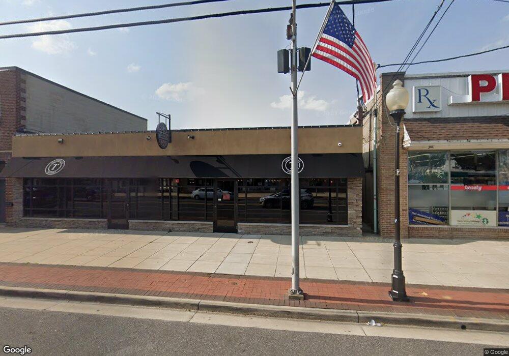
27 W Main St Maple Shade, NJ 08052
Estimated Value: $765,539
--
Bed
--
Bath
6,964
Sq Ft
$110/Sq Ft
Est. Value
About This Home
This home is located at 27 W Main St, Maple Shade, NJ 08052 and is currently estimated at $765,539, approximately $109 per square foot. 27 W Main St is a home located in Burlington County with nearby schools including Ralph J Steinhauer Elementary School, Maude M. Wilkins Elementary School, and Howard R Yocum School.
Ownership History
Date
Name
Owned For
Owner Type
Purchase Details
Closed on
Sep 24, 2013
Sold by
Mcmullin Margaret U
Bought by
Vdv Holdings Llc
Current Estimated Value
Home Financials for this Owner
Home Financials are based on the most recent Mortgage that was taken out on this home.
Original Mortgage
$288,750
Outstanding Balance
$217,252
Interest Rate
4.61%
Mortgage Type
Commercial
Estimated Equity
$548,287
Purchase Details
Closed on
Feb 14, 1997
Sold by
Mcmullin Donald J and Mcmullin Margaret U
Bought by
Mcmullin Margaret U
Create a Home Valuation Report for This Property
The Home Valuation Report is an in-depth analysis detailing your home's value as well as a comparison with similar homes in the area
Home Values in the Area
Average Home Value in this Area
Purchase History
| Date | Buyer | Sale Price | Title Company |
|---|---|---|---|
| Vdv Holdings Llc | $385,000 | None Available | |
| Mcmullin Margaret U | -- | -- |
Source: Public Records
Mortgage History
| Date | Status | Borrower | Loan Amount |
|---|---|---|---|
| Open | Vdv Holdings Llc | $288,750 |
Source: Public Records
Tax History Compared to Growth
Tax History
| Year | Tax Paid | Tax Assessment Tax Assessment Total Assessment is a certain percentage of the fair market value that is determined by local assessors to be the total taxable value of land and additions on the property. | Land | Improvement |
|---|---|---|---|---|
| 2025 | $23,801 | $627,000 | $163,400 | $463,600 |
| 2024 | $23,111 | $627,000 | $163,400 | $463,600 |
| 2023 | $23,111 | $627,000 | $163,400 | $463,600 |
| 2022 | $22,754 | $627,000 | $163,400 | $463,600 |
| 2021 | $22,534 | $627,000 | $163,400 | $463,600 |
| 2020 | $22,597 | $627,000 | $163,400 | $463,600 |
| 2019 | $21,769 | $627,000 | $163,400 | $463,600 |
| 2018 | $21,393 | $627,000 | $163,400 | $463,600 |
| 2017 | $21,142 | $627,000 | $163,400 | $463,600 |
| 2016 | $20,829 | $627,000 | $163,400 | $463,600 |
| 2015 | $20,378 | $627,000 | $163,400 | $463,600 |
| 2014 | $23,172 | $398,300 | $163,400 | $234,900 |
Source: Public Records
Map
Nearby Homes
- 22 Theodore Ave
- 48 N Terrace Ave
- 26 N Poplar Ave
- 29 W Broadway
- 57 S Terrace Ave
- 112 S Maple Ave
- 104 E Laurelton Ave
- 301 N Coles Ave
- 120 E Center Ave
- 2 Gainor Ave
- 19 S Chestnut Ave
- 52 S Fellowship Rd
- 480 W Front St
- 19 Farnsworth Ave
- 410 S Forklanding Rd
- 432 N Coles Ave
- 44 S Pine Ave
- 702 E Main St
- 15 S Pine Ave
- 327 S Coles Ave
- 31 W Main St
- 19 W Main St
- 57 W Main St
- 40 W Main St
- 30 W Main St
- 34 W Main St Unit A
- 34 W Main St
- 40-42 W Main St
- 2 N Forklanding Rd
- 2 N Forklanding Rd Unit 1,2,3
- 6 N Forklanding Rd
- 4 N Forklanding Rd
- 11 W Main St
- 56-58 W Main St
- 60 W Main St
- 7 W Main St
- 62 W Main St Unit 2
- 62 W Main St
- 3 W Main St
- 16 Margaret Ave