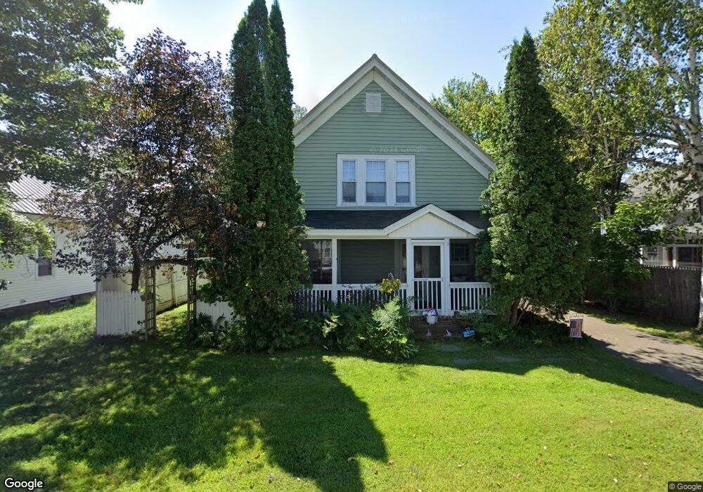
27 West St Groveton, NH 03582
Estimated Value: $217,000 - $280,000
4
Beds
2
Baths
2,000
Sq Ft
$124/Sq Ft
Est. Value
About This Home
This home is located at 27 West St, Groveton, NH 03582 and is currently estimated at $248,758, approximately $124 per square foot. 27 West St is a home located in Coos County with nearby schools including Groveton Elementary School and Groveton High School.
Create a Home Valuation Report for This Property
The Home Valuation Report is an in-depth analysis detailing your home's value as well as a comparison with similar homes in the area
Home Values in the Area
Average Home Value in this Area
Tax History Compared to Growth
Tax History
| Year | Tax Paid | Tax Assessment Tax Assessment Total Assessment is a certain percentage of the fair market value that is determined by local assessors to be the total taxable value of land and additions on the property. | Land | Improvement |
|---|---|---|---|---|
| 2024 | $3,857 | $171,890 | $40,000 | $131,890 |
| 2023 | $3,675 | $171,890 | $40,000 | $131,890 |
| 2022 | $3,133 | $94,760 | $9,700 | $85,060 |
| 2021 | $3,346 | $94,760 | $9,700 | $85,060 |
| 2020 | $3,128 | $94,760 | $9,700 | $85,060 |
| 2019 | $2,850 | $87,860 | $9,700 | $78,160 |
| 2018 | $3,053 | $87,860 | $9,700 | $78,160 |
| 2016 | $3,202 | $87,000 | $10,800 | $76,200 |
| 2015 | $3,018 | $87,000 | $10,800 | $76,200 |
| 2013 | $2,913 | $87,000 | $10,800 | $76,200 |
Source: Public Records
Map
Nearby Homes
- 50 Church St
- 38 Riverside Dr
- 18 State St
- 88 State St
- 13 Hillside Ave
- 41 Crow Hill St
- 102 Hillside Ave
- 1435 Lost Nation Rd
- 406 New Hampshire 110
- 413 Lancaster Rd
- 35 Marietta Ln
- 8 Sunset Ct
- 109 Dean Brook Dr
- 114 US Route 3
- 0 Town Line Rd Unit 1 and 33 4953131
- 147 U S 3
- 0 North Rd Unit 5065580
- 238 Northside Rd
- 36 Longview Dr
- 65 Hollow Rd