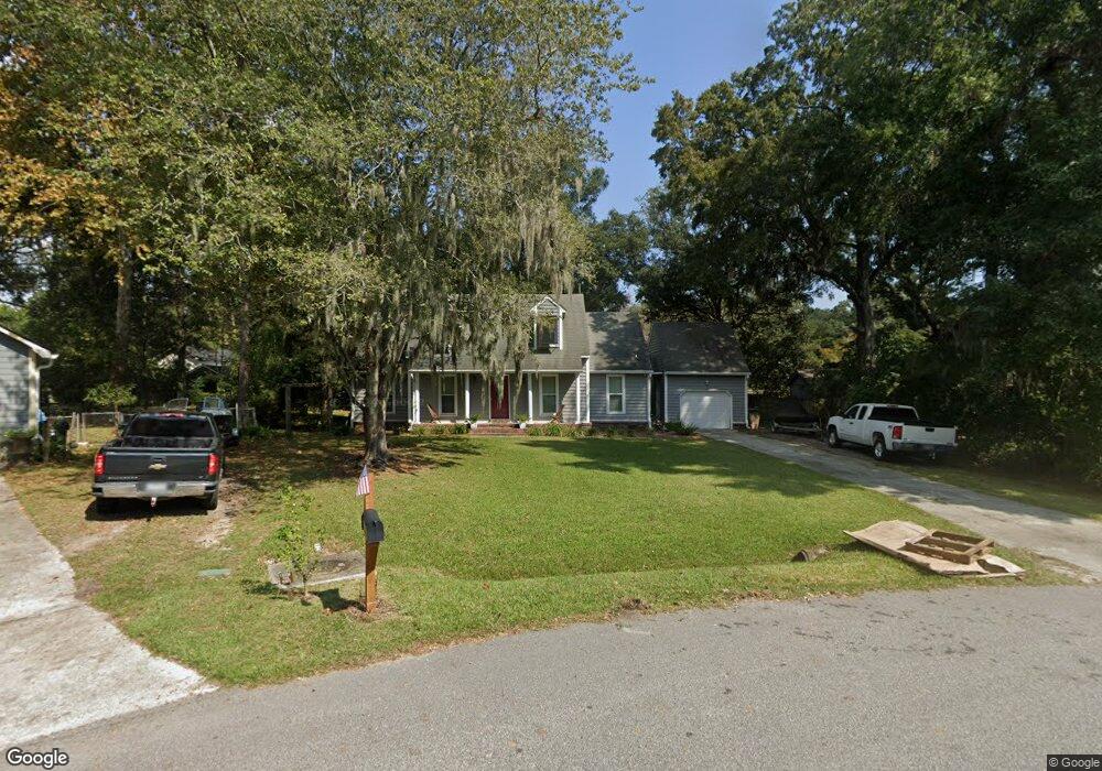
27 Westside Dr Charleston, SC 29412
James Island NeighborhoodEstimated Value: $652,000 - $719,000
4
Beds
3
Baths
1,964
Sq Ft
$344/Sq Ft
Est. Value
About This Home
This home is located at 27 Westside Dr, Charleston, SC 29412 and is currently estimated at $676,020, approximately $344 per square foot. 27 Westside Dr is a home located in Charleston County with nearby schools including Murray-LaSaine Montessori School, Harbor View Elementary School, and Camp Road Middle.
Ownership History
Date
Name
Owned For
Owner Type
Purchase Details
Closed on
Mar 2, 2018
Sold by
Liew Courtney L Van and Liew Christopher R Van
Bought by
Liew Courtney L Van and Liew Christopher R Van
Current Estimated Value
Home Financials for this Owner
Home Financials are based on the most recent Mortgage that was taken out on this home.
Original Mortgage
$238,719
Outstanding Balance
$171,288
Interest Rate
4.15%
Mortgage Type
New Conventional
Estimated Equity
$504,732
Purchase Details
Closed on
Sep 26, 2014
Sold by
Hicks Kendall William and Hicks Leaha
Bought by
Vanliew Christopher R and Flake Courtney L
Home Financials for this Owner
Home Financials are based on the most recent Mortgage that was taken out on this home.
Original Mortgage
$244,150
Interest Rate
4.16%
Mortgage Type
Future Advance Clause Open End Mortgage
Create a Home Valuation Report for This Property
The Home Valuation Report is an in-depth analysis detailing your home's value as well as a comparison with similar homes in the area
Home Values in the Area
Average Home Value in this Area
Purchase History
| Date | Buyer | Sale Price | Title Company |
|---|---|---|---|
| Liew Courtney L Van | -- | None Available | |
| Vanliew Christopher R | $257,000 | -- |
Source: Public Records
Mortgage History
| Date | Status | Borrower | Loan Amount |
|---|---|---|---|
| Open | Liew Courtney L Van | $238,719 | |
| Closed | Vanliew Christopher R | $244,150 |
Source: Public Records
Tax History Compared to Growth
Tax History
| Year | Tax Paid | Tax Assessment Tax Assessment Total Assessment is a certain percentage of the fair market value that is determined by local assessors to be the total taxable value of land and additions on the property. | Land | Improvement |
|---|---|---|---|---|
| 2024 | $1,932 | $12,360 | $0 | $0 |
| 2023 | $1,932 | $12,360 | $0 | $0 |
| 2022 | $1,782 | $12,360 | $0 | $0 |
| 2021 | $1,842 | $12,360 | $0 | $0 |
| 2020 | $1,890 | $12,360 | $0 | $0 |
| 2019 | $1,690 | $10,730 | $0 | $0 |
| 2017 | $1,388 | $10,280 | $0 | $0 |
| 2016 | $1,332 | $10,280 | $0 | $0 |
| 2015 | $1,375 | $10,280 | $0 | $0 |
| 2014 | $3,300 | $0 | $0 | $0 |
| 2011 | -- | $0 | $0 | $0 |
Source: Public Records
Map
Nearby Homes
- 49 Crosscreek Dr
- 18 Paddlecreek Ave
- 1824 Houghton Dr
- 3 Town Park Ln Unit D
- 6 Town Park Ln Unit C
- Lightwood Plan at Crosscreek Walk - Courtyard
- Greenbelt Plan at Crosscreek Walk - Overlook
- Timmons Plan at Crosscreek Walk - Courtyard
- Sullivan Plan at Crosscreek Walk - Overlook
- 1726 Houghton Dr
- 241 Howle Ave Unit G
- 280 Stefan Dr Unit C
- 280 Stefan Dr Unit A
- 262 Stefan Dr Unit 10F
- 340 Stefan Dr
- 1710 Mchenry Ave
- 722 Minton Rd
- 720 Minton Rd
- 744 Minton Rd
- 746 Minton Rd
- 25 Westside Dr
- 29 Westside Dr
- 25 Wyecreek Ave
- 23 Wyecreek Ave
- 23 Westside Dr
- 27 Wyecreek Ave
- 21 Wyecreek Ave
- 14 Westside Dr
- 51 Crosscreek Dr
- 31 Westside Dr
- 53 Crosscreek Dr
- 29 Wyecreek Ave
- 19 Westside Dr
- 55 Crosscreek Dr
- 20 Westside Dr
- 24 Wyecreek Ave
- 26 Wyecreek Ave
- 10 Westside Dr
- 22 Wyecreek Ave
- 31 Wyecreek Ave