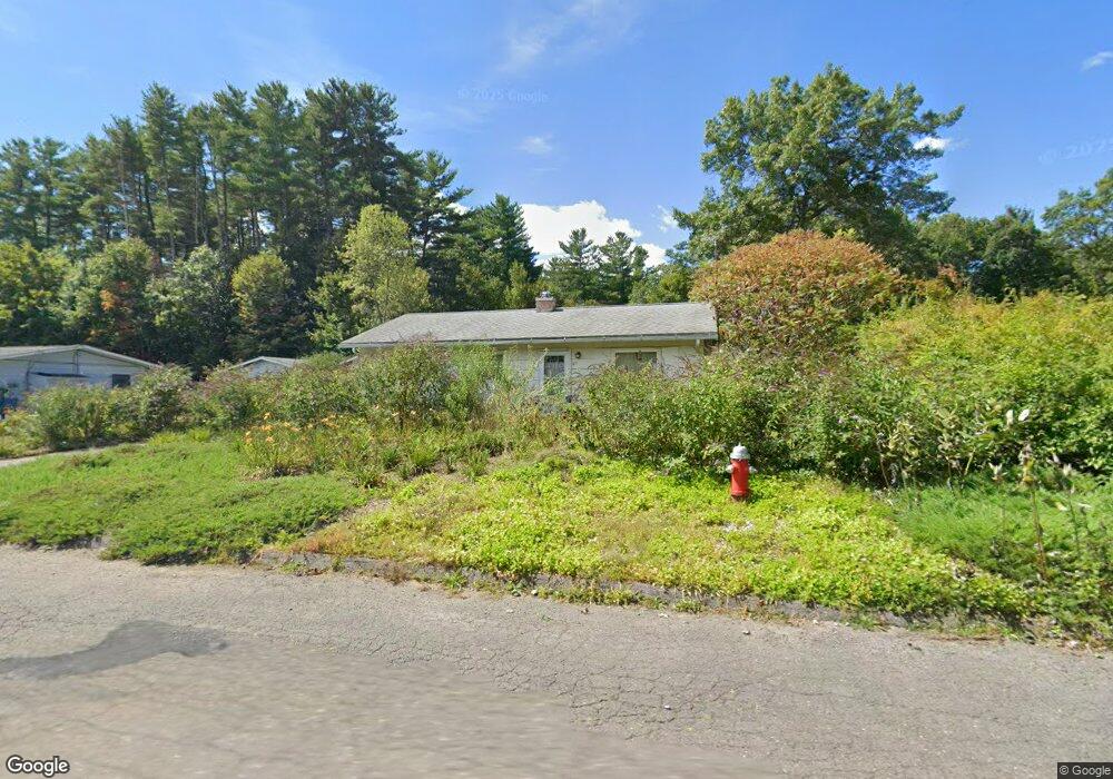
27 Westwood Terrace Florence, MA 01062
Florence NeighborhoodEstimated Value: $282,000 - $328,000
2
Beds
1
Bath
864
Sq Ft
$356/Sq Ft
Est. Value
About This Home
This home is located at 27 Westwood Terrace, Florence, MA 01062 and is currently estimated at $307,221, approximately $355 per square foot. 27 Westwood Terrace is a home located in Hampshire County with nearby schools including Northampton High School, Hilltown Cooperative Charter Public School, and Lander Grinspoon Academy.
Ownership History
Date
Name
Owned For
Owner Type
Purchase Details
Closed on
Jul 17, 1996
Sold by
Brown Nora M and Russo Carl
Bought by
Andrews Kelly
Current Estimated Value
Home Financials for this Owner
Home Financials are based on the most recent Mortgage that was taken out on this home.
Original Mortgage
$4,664
Interest Rate
8.28%
Mortgage Type
Purchase Money Mortgage
Create a Home Valuation Report for This Property
The Home Valuation Report is an in-depth analysis detailing your home's value as well as a comparison with similar homes in the area
Home Values in the Area
Average Home Value in this Area
Purchase History
| Date | Buyer | Sale Price | Title Company |
|---|---|---|---|
| Andrews Kelly | $72,000 | -- |
Source: Public Records
Mortgage History
| Date | Status | Borrower | Loan Amount |
|---|---|---|---|
| Open | Andrews Kelly | $51,000 | |
| Closed | Andrews Kelly | $4,664 | |
| Closed | Andrews Kelly | $48,600 |
Source: Public Records
Tax History Compared to Growth
Tax History
| Year | Tax Paid | Tax Assessment Tax Assessment Total Assessment is a certain percentage of the fair market value that is determined by local assessors to be the total taxable value of land and additions on the property. | Land | Improvement |
|---|---|---|---|---|
| 2025 | $3,473 | $249,300 | $127,800 | $121,500 |
| 2024 | $3,715 | $244,600 | $121,700 | $122,900 |
| 2023 | $3,255 | $205,500 | $110,600 | $94,900 |
| 2022 | $3,007 | $168,100 | $103,400 | $64,700 |
| 2021 | $3,059 | $176,100 | $98,500 | $77,600 |
| 2020 | $2,958 | $176,100 | $98,500 | $77,600 |
| 2019 | $2,708 | $155,900 | $83,700 | $72,200 |
| 2018 | $2,662 | $156,200 | $83,700 | $72,500 |
| 2017 | $2,607 | $156,200 | $83,700 | $72,500 |
| 2016 | $2,524 | $156,200 | $83,700 | $72,500 |
| 2015 | $2,400 | $151,900 | $83,700 | $68,200 |
| 2014 | $2,338 | $151,900 | $83,700 | $68,200 |
Source: Public Records
Map
Nearby Homes
- 7 Pine Valley Rd
- 133 Cardinal Way
- 447 Ryan Rd
- 8 Tara Cir
- 39 Matthew Dr
- 138 Overlook Dr
- 383 Westhampton Rd
- 815 Burts Pit Rd
- 0 W Farms Rd
- 832 Westhampton Rd
- 137 Emerson Way
- 269 Ryan Rd
- 167 Emerson Way
- 100 Emerson Way
- 634 Burts Pit Rd
- 20-11 Sylvester Rd
- 1007 Westhampton Rd
- 48 Dunphy Dr
- 88 Autumn Dr
- 95 Autumn Dr
- 21 Westwood Terrace
- 35 Westwood Terrace
- 746 Ryan Rd
- 28 Westwood Terrace
- 34 Westwood Terrace
- 17 Westwood Terrace
- 47 Westwood Terrace
- 762 Ryan Rd
- 40 Westwood Terrace
- 49 Drewsen Dr
- 14 Westwood Terrace
- 43 Drewsen Dr
- 734 Ryan Rd
- 55 Westwood Terrace
- 764 Ryan Rd
- 48 Westwood Terrace
- 57 Drewsen Dr
- 63 Drewsen Dr
- 37 Drewsen Dr
- 8 Westwood Terrace