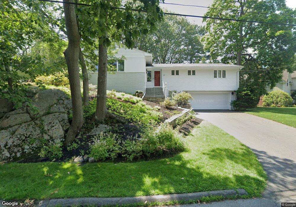
27 Winshaw Rd Swampscott, MA 01907
Estimated Value: $1,079,816 - $1,715,000
3
Beds
3
Baths
2,014
Sq Ft
$630/Sq Ft
Est. Value
About This Home
This home is located at 27 Winshaw Rd, Swampscott, MA 01907 and is currently estimated at $1,269,204, approximately $630 per square foot. 27 Winshaw Rd is a home located in Essex County with nearby schools including Swampscott Middle School, Swampscott High School, and Epstein Hillel School.
Ownership History
Date
Name
Owned For
Owner Type
Purchase Details
Closed on
Dec 11, 1998
Sold by
Glasgow Barry A and Glasgow Carol L
Bought by
Granik Alexander and Nosik Tatyana
Current Estimated Value
Purchase Details
Closed on
Jul 27, 1995
Sold by
Schlanger Ann R
Bought by
Glasgow Barry A and Glasgow Carol
Purchase Details
Closed on
May 13, 1988
Sold by
Snyder Philip F
Bought by
Schlanger Richard A
Create a Home Valuation Report for This Property
The Home Valuation Report is an in-depth analysis detailing your home's value as well as a comparison with similar homes in the area
Home Values in the Area
Average Home Value in this Area
Purchase History
| Date | Buyer | Sale Price | Title Company |
|---|---|---|---|
| Granik Alexander | $429,000 | -- | |
| Granik Alexander | $429,000 | -- | |
| Glasgow Barry A | $320,000 | -- | |
| Glasgow Barry A | $320,000 | -- | |
| Schlanger Richard A | $376,500 | -- |
Source: Public Records
Mortgage History
| Date | Status | Borrower | Loan Amount |
|---|---|---|---|
| Open | Schlanger Richard A | $400,000 | |
| Closed | Schlanger Richard A | $92,400 |
Source: Public Records
Tax History Compared to Growth
Tax History
| Year | Tax Paid | Tax Assessment Tax Assessment Total Assessment is a certain percentage of the fair market value that is determined by local assessors to be the total taxable value of land and additions on the property. | Land | Improvement |
|---|---|---|---|---|
| 2025 | $10,827 | $943,900 | $477,600 | $466,300 |
| 2024 | $10,344 | $900,300 | $457,700 | $442,600 |
| 2023 | $9,769 | $832,100 | $417,900 | $414,200 |
| 2022 | $9,132 | $711,800 | $358,200 | $353,600 |
| 2021 | $8,719 | $631,800 | $298,500 | $333,300 |
| 2020 | $9,035 | $631,800 | $298,500 | $333,300 |
| 2019 | $8,763 | $576,500 | $268,600 | $307,900 |
| 2018 | $9,138 | $571,100 | $268,600 | $302,500 |
| 2017 | $9,332 | $534,800 | $253,700 | $281,100 |
| 2016 | $8,944 | $516,100 | $253,700 | $262,400 |
| 2015 | $8,851 | $516,100 | $253,700 | $262,400 |
| 2014 | $8,821 | $471,700 | $231,300 | $240,400 |
Source: Public Records
Map
Nearby Homes
- 35 Alden Rd
- 110 Galloupes Point Rd
- 35 Littles Point Rd Unit S201
- 24 Orchard Cir
- 8 Ocean View Rd
- 21 Bay View Dr
- 13 Cedar Hill Terrace Unit 2
- 75 Bay View Dr
- 71 Walnut Rd
- 71 Greenwood Ave Unit 207
- 25 Manton Rd
- 37 Stanley Rd
- 179 Beach Bluff Ave
- 48 Bellevue Rd
- 309 Paradise Rd
- 140 Elmwood Rd
- 306 Paradise Rd
- 5 Summit View Dr
- 1004 Paradise Rd Unit PHJ
- 98 Paradise Rd