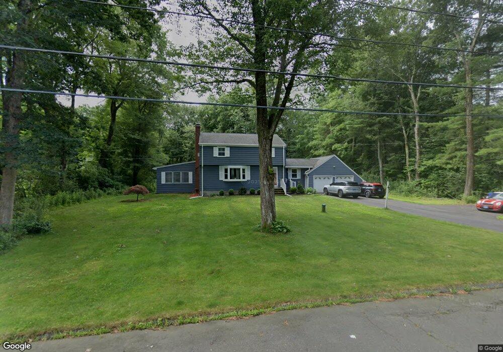
27 Woods Rd Bloomfield, CT 06002
Estimated Value: $421,000 - $458,000
3
Beds
2
Baths
2,226
Sq Ft
$197/Sq Ft
Est. Value
About This Home
This home is located at 27 Woods Rd, Bloomfield, CT 06002 and is currently estimated at $439,454, approximately $197 per square foot. 27 Woods Rd is a home located in Hartford County with nearby schools including Laurel School, Metacomet School, and Carmen Arace Intermediate School.
Ownership History
Date
Name
Owned For
Owner Type
Purchase Details
Closed on
Aug 6, 2009
Sold by
Vuori Scott and Vuori Robin
Bought by
Francis Sherese
Current Estimated Value
Home Financials for this Owner
Home Financials are based on the most recent Mortgage that was taken out on this home.
Original Mortgage
$234,179
Outstanding Balance
$154,698
Interest Rate
5.47%
Mortgage Type
Purchase Money Mortgage
Estimated Equity
$284,756
Purchase Details
Closed on
Feb 25, 2009
Sold by
Nutmeg Property Grp In
Bought by
Vuori Scott and Vuori Robin
Purchase Details
Closed on
Jan 13, 2009
Sold by
Burke Pamela
Bought by
Nutmeg Property Group
Create a Home Valuation Report for This Property
The Home Valuation Report is an in-depth analysis detailing your home's value as well as a comparison with similar homes in the area
Home Values in the Area
Average Home Value in this Area
Purchase History
| Date | Buyer | Sale Price | Title Company |
|---|---|---|---|
| Francis Sherese | $238,500 | -- | |
| Francis Sherese | $238,500 | -- | |
| Vuori Scott | $130,000 | -- | |
| Vuori Scott | $130,000 | -- | |
| Nutmeg Property Group | $110,000 | -- | |
| Nutmeg Property Group | $110,000 | -- |
Source: Public Records
Mortgage History
| Date | Status | Borrower | Loan Amount |
|---|---|---|---|
| Open | Nutmeg Property Group | $21,784 | |
| Open | Nutmeg Property Group | $234,179 | |
| Closed | Nutmeg Property Group | $234,179 |
Source: Public Records
Tax History
| Year | Tax Paid | Tax Assessment Tax Assessment Total Assessment is a certain percentage of the fair market value that is determined by local assessors to be the total taxable value of land and additions on the property. | Land | Improvement |
|---|---|---|---|---|
| 2025 | $8,852 | $236,040 | $63,210 | $172,830 |
| 2024 | $6,449 | $164,360 | $53,060 | $111,300 |
| 2023 | $6,333 | $164,360 | $53,060 | $111,300 |
| 2022 | $5,922 | $164,360 | $53,060 | $111,300 |
| 2021 | $6,053 | $164,360 | $53,060 | $111,300 |
| 2020 | $5,960 | $164,360 | $53,060 | $111,300 |
| 2019 | $6,354 | $164,360 | $53,060 | $111,300 |
| 2018 | $6,312 | $163,450 | $47,180 | $116,270 |
| 2017 | $6,303 | $163,450 | $47,180 | $116,270 |
| 2016 | $6,154 | $163,450 | $47,180 | $116,270 |
| 2015 | $6,039 | $163,450 | $47,180 | $116,270 |
| 2014 | $5,774 | $161,560 | $51,170 | $110,390 |
Source: Public Records
Map
Nearby Homes
- 68 Tariffville Rd
- 322 Tunxis Ave
- 406 Tunxis Ave
- 24 Hunting Ridge Dr
- 16 Hilltop Rd
- 12 Lewis St
- 823 Stone Rd
- 4 Lewis St
- 30 W Point Terrace
- 23 Wood Duck Ln Unit 23
- 234 Woodland Ave
- 16 Seymour Rd Unit 21C
- 16 Seymour Rd Unit 2H
- 16 Seymour Rd Unit 9E
- 14 Main Street Extension
- 22 Old Hartford Ave Unit 22
- 39 Loren Cir
- 228 Castlewood Dr
- 284 Castlewood Dr Unit 284
- 49 Seymour Rd
Your Personal Tour Guide
Ask me questions while you tour the home.