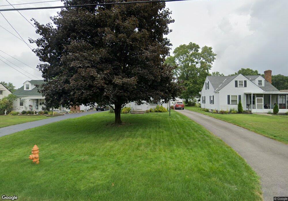
270 Afton Ave Youngstown, OH 44512
Estimated Value: $134,000 - $145,000
2
Beds
1
Bath
1,263
Sq Ft
$110/Sq Ft
Est. Value
About This Home
This home is located at 270 Afton Ave, Youngstown, OH 44512 and is currently estimated at $139,109, approximately $110 per square foot. 270 Afton Ave is a home located in Mahoning County with nearby schools including Boardman Glenwood Junior High School, Boardman High School, and Horizon Science Academy - Youngstown.
Ownership History
Date
Name
Owned For
Owner Type
Purchase Details
Closed on
Apr 24, 2000
Sold by
Estate Of Josephine I Calvey
Bought by
Calvey John M and Miller Maureen A
Current Estimated Value
Purchase Details
Closed on
Apr 18, 2000
Sold by
Miller Maureen A and Miller Raymond J
Bought by
Calvey John M
Purchase Details
Closed on
Apr 14, 2000
Sold by
Selesnak Patricia M and Selesnak Mitchell T
Bought by
Calvey John M
Purchase Details
Closed on
Mar 25, 1988
Bought by
Calvey Josephine I
Create a Home Valuation Report for This Property
The Home Valuation Report is an in-depth analysis detailing your home's value as well as a comparison with similar homes in the area
Home Values in the Area
Average Home Value in this Area
Purchase History
| Date | Buyer | Sale Price | Title Company |
|---|---|---|---|
| Calvey John M | -- | Safeguard Title Agency | |
| Calvey John M | $22,200 | Safeguard Title Agency | |
| Calvey John M | $22,200 | Safeguard Title Agency | |
| Calvey Josephine I | -- | -- |
Source: Public Records
Tax History Compared to Growth
Tax History
| Year | Tax Paid | Tax Assessment Tax Assessment Total Assessment is a certain percentage of the fair market value that is determined by local assessors to be the total taxable value of land and additions on the property. | Land | Improvement |
|---|---|---|---|---|
| 2024 | $1,870 | $36,690 | $4,550 | $32,140 |
| 2023 | $1,845 | $36,690 | $4,550 | $32,140 |
| 2022 | $1,579 | $23,950 | $4,210 | $19,740 |
| 2021 | $1,580 | $23,950 | $4,210 | $19,740 |
| 2020 | $1,588 | $23,950 | $4,210 | $19,740 |
| 2019 | $1,536 | $20,470 | $3,600 | $16,870 |
| 2018 | $1,330 | $20,470 | $3,600 | $16,870 |
| 2017 | $1,312 | $20,470 | $3,600 | $16,870 |
| 2016 | $1,484 | $22,960 | $4,240 | $18,720 |
| 2015 | $1,454 | $22,960 | $4,240 | $18,720 |
| 2014 | $1,459 | $22,960 | $4,240 | $18,720 |
| 2013 | $1,440 | $22,960 | $4,240 | $18,720 |
Source: Public Records
Map
Nearby Homes
- 167 Afton Ave
- 149 Argyle Ave
- 0 Mathews Rd Unit 5038026
- 127 Melrose Ave
- 429 Tudor Ln
- 175 Homestead Dr
- 6001 Applecrest Dr
- 197 Mathews Rd Unit B
- 424 Mathews Rd
- 81 Melrose Ave
- 4715 Euclid Blvd
- 767 Indianola Rd
- 44 Gertrude Ave
- 148 Clifton Dr
- 732 Forest Ridge Dr
- 796 Edenridge Dr
- 642 Oakridge Dr
- 4552 New England Blvd
- 0 Moyer Ave
- 792 Forest Ridge Dr