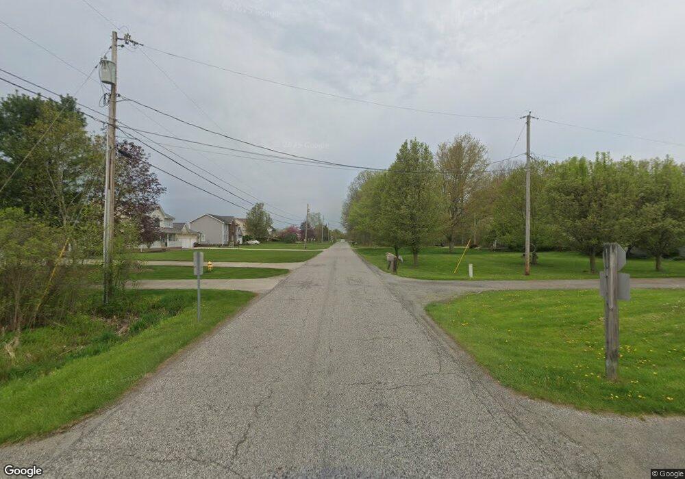
270 Airport Rd NW Warren, OH 44481
Estimated Value: $208,701 - $278,000
4
Beds
1
Bath
1,641
Sq Ft
$150/Sq Ft
Est. Value
About This Home
This home is located at 270 Airport Rd NW, Warren, OH 44481 and is currently estimated at $246,925, approximately $150 per square foot. 270 Airport Rd NW is a home located in Trumbull County with nearby schools including Champion Central Elementary School, Champion Middle School, and Champion High School.
Ownership History
Date
Name
Owned For
Owner Type
Purchase Details
Closed on
Jun 23, 2021
Sold by
Jones Kristen M
Bought by
Jones Kristen M
Current Estimated Value
Purchase Details
Closed on
Nov 4, 2016
Sold by
Scott Thomas R
Bought by
Scott Thomas R and Jones Kristen M
Purchase Details
Closed on
May 5, 2011
Sold by
Scott Thomas A and Scott Marym
Bought by
Scott Thomas R and Scott Mary M
Purchase Details
Closed on
Jan 1, 1990
Bought by
Thomas R
Create a Home Valuation Report for This Property
The Home Valuation Report is an in-depth analysis detailing your home's value as well as a comparison with similar homes in the area
Home Values in the Area
Average Home Value in this Area
Purchase History
| Date | Buyer | Sale Price | Title Company |
|---|---|---|---|
| Jones Kristen M | -- | None Available | |
| Scott Thomas R | -- | None Available | |
| Scott Thomas R | -- | Attorney | |
| Thomas R | -- | -- |
Source: Public Records
Tax History Compared to Growth
Tax History
| Year | Tax Paid | Tax Assessment Tax Assessment Total Assessment is a certain percentage of the fair market value that is determined by local assessors to be the total taxable value of land and additions on the property. | Land | Improvement |
|---|---|---|---|---|
| 2024 | $2,675 | $53,030 | $12,950 | $40,080 |
| 2023 | $2,742 | $53,030 | $12,950 | $40,080 |
| 2022 | $2,162 | $35,210 | $12,110 | $23,100 |
| 2021 | $693 | $29,120 | $6,020 | $23,100 |
| 2020 | $687 | $29,120 | $6,020 | $23,100 |
| 2019 | $575 | $26,570 | $5,570 | $21,000 |
| 2018 | $581 | $26,570 | $5,570 | $21,000 |
| 2017 | $1,115 | $26,570 | $5,570 | $21,000 |
| 2016 | $1,275 | $28,460 | $5,570 | $22,890 |
| 2015 | $1,227 | $28,460 | $5,570 | $22,890 |
| 2014 | $1,128 | $28,460 | $5,570 | $22,890 |
| 2013 | $1,187 | $29,930 | $5,570 | $24,360 |
Source: Public Records
Map
Nearby Homes
- 6388 Brianna Way NW
- 6227 Mahoning Ave NW
- 27 Danbury Ct NW
- 722 Airport Rd NW
- 0 Durst Dr NW
- 149 Edward St
- 0 Shaffer Rd NW
- Shafer Road North W Unit LotWP001
- 6206 Downs Rd NW
- 288 Bristol Champion NE
- 398 Bristol Champion Townline Rd NW
- 5546 Shaffer Rd NW Unit A & B
- 1056 Bristol Champion Townline Rd NW
- 5319 Leslie Ave NW
- 207 Hidden Trail Dr NW Unit 207
- 625 Bristol Champion Townline Rd NW
- 238 Raymond Ave NW
- 5245 Kuszmaul Ave NW
- 421 Glendola Ave NW
- 4220 N Park Ave
- 260 Airport Rd NW
- 282 Airport Rd NW
- 292 Airport Rd NW
- 240 Airport Rd NW
- 230 Airport Rd NW
- 316 Airport Rd NW
- 220 Airport Rd NW
- 245 Airport Rd NW
- 273 Airport Rd NW
- 206 Airport Rd NW
- 326 Airport Rd NW
- 299 Airport Rd NW
- 325 Airport Rd NW
- 190 Airport Rd NW
- 219 Airport Rd NW
- 182 Airport Rd NW
- 174 Airport Rd NW
- 353 Airport Rd NW
- 336 Airport Rd NW
- 335 Oak Hollow Dr NW
