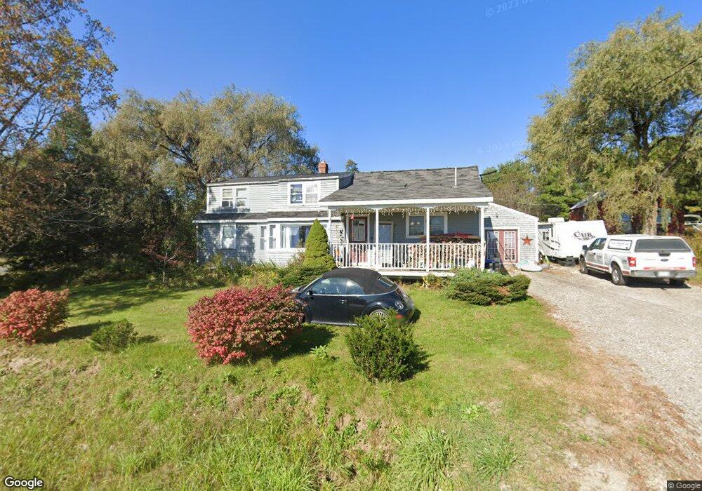
270 Allen Rd Pownal, ME 04069
Estimated Value: $381,731 - $1,147,000
3
Beds
1
Bath
1,610
Sq Ft
$414/Sq Ft
Est. Value
About This Home
This home is located at 270 Allen Rd, Pownal, ME 04069 and is currently estimated at $666,933, approximately $414 per square foot. 270 Allen Rd is a home located in Cumberland County with nearby schools including Freeport High School.
Create a Home Valuation Report for This Property
The Home Valuation Report is an in-depth analysis detailing your home's value as well as a comparison with similar homes in the area
Home Values in the Area
Average Home Value in this Area
Tax History Compared to Growth
Tax History
| Year | Tax Paid | Tax Assessment Tax Assessment Total Assessment is a certain percentage of the fair market value that is determined by local assessors to be the total taxable value of land and additions on the property. | Land | Improvement |
|---|---|---|---|---|
| 2024 | $3,385 | $199,100 | $55,300 | $143,800 |
| 2023 | $3,129 | $166,000 | $46,100 | $119,900 |
| 2022 | $2,988 | $166,000 | $46,100 | $119,900 |
| 2021 | $2,988 | $166,000 | $46,100 | $119,900 |
| 2020 | $1,093 | $166,000 | $46,100 | $119,900 |
| 2019 | $223 | $166,000 | $46,100 | $119,900 |
| 2018 | $2,988 | $166,000 | $46,100 | $119,900 |
| 2017 | $2,629 | $166,000 | $46,100 | $119,900 |
| 2016 | $2,739 | $166,000 | $46,100 | $119,900 |
| 2015 | $2,390 | $70,800 | $15,600 | $55,200 |
| 2014 | $2,443 | $70,800 | $15,600 | $55,200 |
| 2013 | $2,460 | $70,800 | $15,600 | $55,200 |
Source: Public Records
Map
Nearby Homes
- 284 Allen Rd
- 244 Allen Rd
- 890 Elmwood Rd
- 026-01 Dow Ln
- 79 Birchwood Terrace
- 238 Hallowell Rd
- 850 Lawrence Rd
- 0 New Gloucester Rd
- 395 New Gloucester Rd
- 118 Royal Rd
- 99 Rangdale Rd
- 162 Merrill Rd
- 200 Woodman Rd
- 36 Blackthorne Ln
- 1 Blackthorne Ln
- 0 Mayall
- 38 Blackthorne Ln
- 118 Lufkin Rd
- 155 & 151 Gloucester Hill Rd
- 160 Gloucester Hill Rd