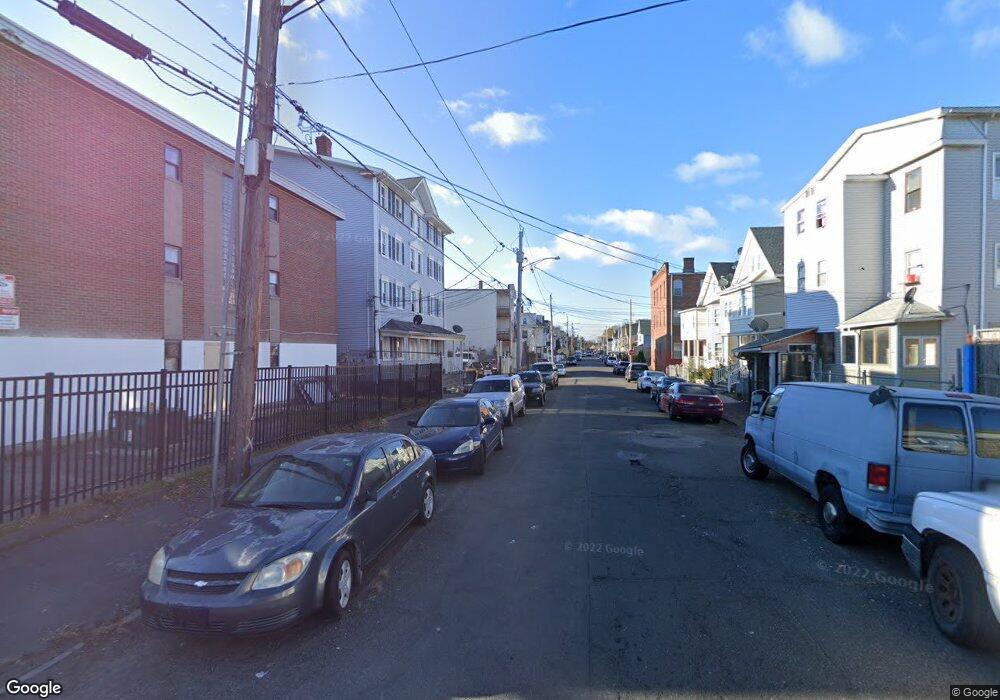
270 Coleman St Unit 274 Bridgeport, CT 06604
The Hollow NeighborhoodEstimated Value: $527,000 - $593,000
6
Beds
1
Bath
2,808
Sq Ft
$202/Sq Ft
Est. Value
About This Home
This home is located at 270 Coleman St Unit 274, Bridgeport, CT 06604 and is currently estimated at $566,667, approximately $201 per square foot. 270 Coleman St Unit 274 is a home located in Fairfield County with nearby schools including Geraldine Johnson School, Bassick High School, and Catholic Academy of Bridgeport-St. Raphael Academy.
Ownership History
Date
Name
Owned For
Owner Type
Purchase Details
Closed on
Mar 28, 2002
Sold by
Delpino Clive B
Bought by
Lopez Esteban
Current Estimated Value
Home Financials for this Owner
Home Financials are based on the most recent Mortgage that was taken out on this home.
Original Mortgage
$99,000
Interest Rate
6.88%
Create a Home Valuation Report for This Property
The Home Valuation Report is an in-depth analysis detailing your home's value as well as a comparison with similar homes in the area
Home Values in the Area
Average Home Value in this Area
Purchase History
| Date | Buyer | Sale Price | Title Company |
|---|---|---|---|
| Lopez Esteban | $23,000 | -- | |
| Lopez Esteban | $23,000 | -- |
Source: Public Records
Mortgage History
| Date | Status | Borrower | Loan Amount |
|---|---|---|---|
| Open | Lopez Esteban | $139,500 | |
| Closed | Lopez Esteban | $99,000 | |
| Previous Owner | Lopez Esteban | $147,000 |
Source: Public Records
Tax History Compared to Growth
Tax History
| Year | Tax Paid | Tax Assessment Tax Assessment Total Assessment is a certain percentage of the fair market value that is determined by local assessors to be the total taxable value of land and additions on the property. | Land | Improvement |
|---|---|---|---|---|
| 2025 | $6,657 | $153,220 | $33,130 | $120,090 |
| 2024 | $6,657 | $153,220 | $33,130 | $120,090 |
| 2023 | $6,657 | $153,220 | $33,130 | $120,090 |
| 2022 | $6,657 | $153,220 | $33,130 | $120,090 |
| 2021 | $6,657 | $153,220 | $33,130 | $120,090 |
| 2020 | $6,264 | $116,020 | $15,690 | $100,330 |
| 2019 | $6,264 | $116,020 | $15,690 | $100,330 |
| 2018 | $6,308 | $116,020 | $15,690 | $100,330 |
| 2017 | $6,308 | $116,020 | $15,690 | $100,330 |
| 2016 | $6,308 | $116,020 | $15,690 | $100,330 |
| 2015 | $6,953 | $164,770 | $32,660 | $132,110 |
| 2014 | $6,953 | $164,770 | $32,660 | $132,110 |
Source: Public Records
Map
Nearby Homes
- 309 Pequonnock St
- 213 Harral Ave Unit 215
- 200 Harral Ave
- 120 Milne St Unit 122
- 113 Milne St Unit 115
- 183 Calhoun Ave
- 139 Highland Ave Unit 143
- 75 Sanford Ave
- 1373 Iranistan Ave
- 826 Norman St
- 1199 Iranistan Ave Unit 1201
- 318 Center St
- 592 Norman St Unit 594
- 191 Oak St
- 100 Lorraine St
- 414 Wood Ave
- 1872 North Ave Unit 1874
- 566 Wood Ave
- 393 Laurel Ave Unit 203
- 393 Laurel Ave Unit 415
- 262 Coleman St Unit 266
- 360 Olive St
- 273 Coleman St Unit 281
- 292 Coleman St
- 267 Coleman St
- 254 Coleman St
- 359 Olive St Unit 361
- 359 Olive St
- 359 Olive St Unit 3
- 261 Coleman St
- 370 Olive St Unit 4
- 370 Olive St Unit 3
- 370 Olive St
- 299 Coleman St Unit 301
- 246 Coleman St Unit 248
- 367 Olive St Unit 369
- 316 Olive St
- 314 Olive St Unit 316
- 251 Coleman St Unit 257
- 306 Coleman St Unit 308