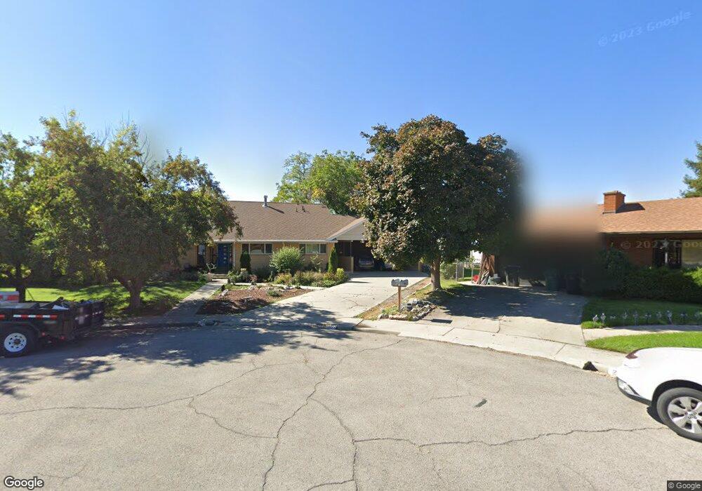
270 E 2020 N Provo, UT 84604
Rock Canyon NeighborhoodEstimated Value: $762,000 - $809,000
4
Beds
3
Baths
1,826
Sq Ft
$429/Sq Ft
Est. Value
About This Home
This home is located at 270 E 2020 N, Provo, UT 84604 and is currently estimated at $784,008, approximately $429 per square foot. 270 E 2020 N is a home located in Utah County with nearby schools including Rock Canyon Elementary School, Centennial Middle School, and Timpview High School.
Ownership History
Date
Name
Owned For
Owner Type
Purchase Details
Closed on
Jan 12, 2021
Sold by
Dutton Trust and Dutton Dean S
Bought by
Dutton Joshua A and Dutton Evette M
Current Estimated Value
Home Financials for this Owner
Home Financials are based on the most recent Mortgage that was taken out on this home.
Original Mortgage
$384,025
Outstanding Balance
$342,683
Interest Rate
2.7%
Mortgage Type
New Conventional
Estimated Equity
$441,325
Purchase Details
Closed on
Jan 4, 2021
Sold by
Dutton Dean S and Dutton Sheila Porter
Bought by
Dutton Joshua A and Dutton Evette M
Home Financials for this Owner
Home Financials are based on the most recent Mortgage that was taken out on this home.
Original Mortgage
$384,025
Outstanding Balance
$342,683
Interest Rate
2.7%
Mortgage Type
New Conventional
Estimated Equity
$441,325
Purchase Details
Closed on
Jul 3, 2014
Sold by
Dutton Sheila Porter and Dutton Dean S
Bought by
Dutton Trust
Purchase Details
Closed on
Aug 26, 2008
Sold by
Dutton Dean S and Dutton Sheila P
Bought by
Dutton Sheila Porter and Dutton Dean S
Purchase Details
Closed on
Jun 30, 1995
Sold by
Dutton Dean S and Dutton Sheila P
Bought by
Sheila Porter Dutton Family Protection T
Create a Home Valuation Report for This Property
The Home Valuation Report is an in-depth analysis detailing your home's value as well as a comparison with similar homes in the area
Home Values in the Area
Average Home Value in this Area
Purchase History
| Date | Buyer | Sale Price | Title Company |
|---|---|---|---|
| Dutton Joshua A | -- | Advanced Title | |
| Dutton Joshua A | -- | Advanced Title | |
| Dutton Trust | -- | None Available | |
| Dutton Sheila Porter | -- | First American | |
| Dutton Dean S | -- | First American | |
| Sheila Porter Dutton Family Protection T | -- | -- |
Source: Public Records
Mortgage History
| Date | Status | Borrower | Loan Amount |
|---|---|---|---|
| Open | Dutton Joshua A | $384,025 | |
| Closed | Dutton Joshua A | $384,025 |
Source: Public Records
Tax History
| Year | Tax Paid | Tax Assessment Tax Assessment Total Assessment is a certain percentage of the fair market value that is determined by local assessors to be the total taxable value of land and additions on the property. | Land | Improvement |
|---|---|---|---|---|
| 2025 | $3,768 | $423,115 | -- | -- |
| 2024 | $3,768 | $370,865 | $0 | $0 |
| 2023 | $3,579 | $347,325 | $0 | $0 |
| 2022 | $3,682 | $360,250 | $0 | $0 |
| 2021 | $2,989 | $510,100 | $277,600 | $232,500 |
| 2020 | $2,813 | $450,000 | $222,100 | $227,900 |
| 2019 | $2,705 | $450,000 | $222,100 | $227,900 |
| 2018 | $2,491 | $420,300 | $222,100 | $198,200 |
| 2017 | $2,124 | $196,955 | $0 | $0 |
| 2016 | $1,996 | $172,535 | $0 | $0 |
| 2015 | $1,922 | $167,860 | $0 | $0 |
| 2014 | $1,767 | $160,875 | $0 | $0 |
Source: Public Records
Map
Nearby Homes
- 182 E 2090 N
- 186 E 2100 N
- 360 Sumac Ln
- 2254 N 390 E
- 614 E Normandy Dr
- 264 W 1625 N
- 2735 N Country Club Dr
- 2774 N 370 E
- 96 Marrcrest S
- 1028 E 2500 N
- 990 Cedar Ave
- 1604 N Willow Ln
- 431 W 2310 N
- 2939 N Marrcrest Dr W
- 2999 N Marrcrest West Dr
- 3013 N 100 W
- 948 N 50 E Unit 301
- 1292 Cedar Ave
- 3057 N 100 W
- 1661 Willowbrook Dr