270 E Strong Rd Shelton, WA 98584
Estimated Value: $724,000 - $1,320,720
3
Beds
4
Baths
2,071
Sq Ft
$531/Sq Ft
Est. Value
About This Home
This home is located at 270 E Strong Rd, Shelton, WA 98584 and is currently estimated at $1,098,907, approximately $530 per square foot. 270 E Strong Rd is a home with nearby schools including Pioneer Primary School, Pioneer Intermediate/Middle School, and Abba's Garden Academy.
Ownership History
Date
Name
Owned For
Owner Type
Purchase Details
Closed on
Apr 28, 2017
Sold by
Truitt Harry and Liburdi Joe
Bought by
Page Alfred N
Current Estimated Value
Purchase Details
Closed on
Apr 12, 2017
Sold by
Giles William D and Giles Shirley L
Bought by
Giles William D and Giles Shirley L
Purchase Details
Closed on
Nov 6, 2009
Sold by
Giles William D
Bought by
Giles William D and Giles Shirley L
Create a Home Valuation Report for This Property
The Home Valuation Report is an in-depth analysis detailing your home's value as well as a comparison with similar homes in the area
Home Values in the Area
Average Home Value in this Area
Purchase History
| Date | Buyer | Sale Price | Title Company |
|---|---|---|---|
| Page Alfred N | $19,943 | None Available | |
| Giles William D | -- | None Available | |
| Giles William D | -- | None Available |
Source: Public Records
Tax History Compared to Growth
Tax History
| Year | Tax Paid | Tax Assessment Tax Assessment Total Assessment is a certain percentage of the fair market value that is determined by local assessors to be the total taxable value of land and additions on the property. | Land | Improvement |
|---|---|---|---|---|
| 2025 | $8,803 | $1,237,770 | $198,925 | $1,038,845 |
| 2023 | $8,803 | $977,185 | $174,700 | $802,485 |
| 2022 | $8,165 | $854,220 | $169,605 | $684,615 |
| 2021 | $7,047 | $854,220 | $169,605 | $684,615 |
| 2020 | $7,069 | $677,990 | $192,565 | $485,425 |
| 2018 | $5,861 | $515,890 | $171,610 | $344,280 |
| 2017 | $5,237 | $515,880 | $171,600 | $344,280 |
| 2016 | $5,114 | $475,815 | $192,075 | $283,740 |
| 2015 | $4,691 | $463,720 | $186,070 | $277,650 |
| 2014 | -- | $473,340 | $190,070 | $283,270 |
| 2013 | -- | $461,050 | $180,070 | $280,980 |
Source: Public Records
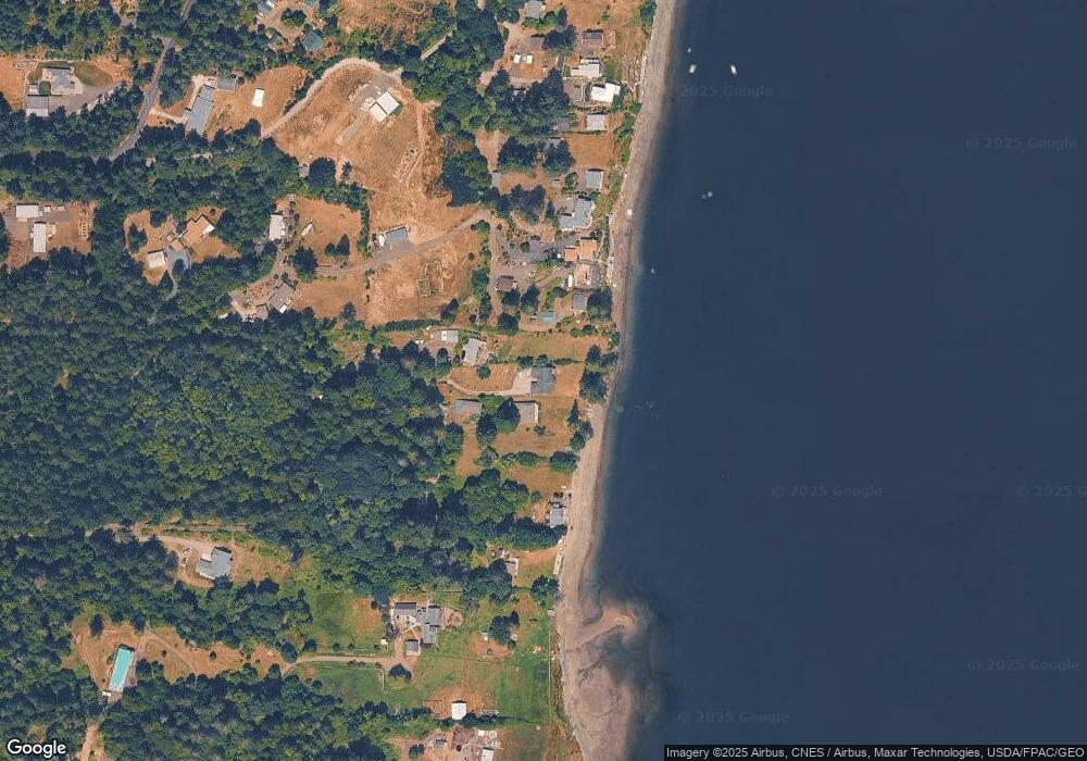
Map
Nearby Homes
- 180 E Osprey Ln
- 0 E Strong Rd Unit 43 NWM2308755
- 0 E Strong Rd Unit 34 NWM2308734
- 0 E Strong Rd Unit 43 24316768
- 0 E Strong Rd Unit 34 24009692
- 161 E Geist Point Dr
- 0 E Cottonwood Dr Unit 40 NWM2308766
- 0 E Cottonwood Dr Unit 13 NWM2308746
- 0 E Cottonwood Dr Unit 13 24324515
- 0 E Cottonwood Dr Unit 40
- 61 E Lookout Ct
- 81 E Panorama Way
- 441 E Madrona Pkwy
- 600 E Probert Rd
- 1 xx E Sunset Hill Rd N
- 0 E Passage View Rd Unit NWM2418104
- 512 E Madrona Pkwy
- 382 E Bergeson Rd
- 240 E Orchard Beach Dr
- 10 E Lynda Ln W
- 250 E Strong Rd
- 290 E Strong Rd
- 431 E Osprey Ln
- 250 E Osprey Ln
- 421 E Osprey Ln
- 230 E Strong Rd
- 230 E Strong Rd
- 411 E Osprey Ln
- 401 E Osprey Ln
- 232 E Strong Rd
- 196 E Vineyard Dr
- 194 E Vineyard Dr
- 140 E Strong Rd
- 190 E Vineyard Dr
- 0 TR3B E Osprey Ln
- 202 E Vineyard Dr
- 110 E Vineyard Dr
- 200 E Vineyard Dr
- 220 E Vineyard Dr
- 131 E Osprey Ln