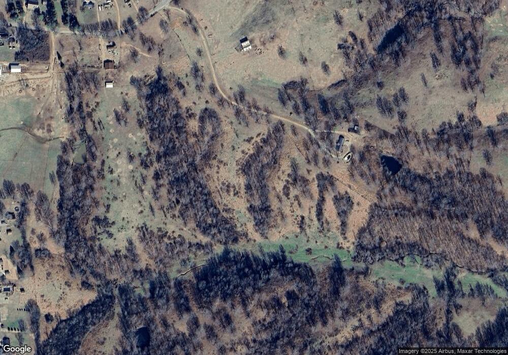
270 Green Shanty Rd Unit 636 Tennessee Ridge, TN 37178
Estimated Value: $353,000 - $629,000
--
Bed
3
Baths
1,904
Sq Ft
$265/Sq Ft
Est. Value
About This Home
This home is located at 270 Green Shanty Rd Unit 636, Tennessee Ridge, TN 37178 and is currently estimated at $504,059, approximately $264 per square foot. 270 Green Shanty Rd Unit 636 is a home located in Houston County.
Ownership History
Date
Name
Owned For
Owner Type
Purchase Details
Closed on
Jan 20, 2022
Sold by
Petit Jr Henry E
Bought by
Turney Rebecca
Current Estimated Value
Purchase Details
Closed on
Nov 24, 2015
Sold by
Petit Henry E
Bought by
Turney Rebecca
Purchase Details
Closed on
Jul 23, 2012
Sold by
Petit Henry E
Bought by
Petit Henry E
Purchase Details
Closed on
Feb 26, 1997
Bought by
Powell Marilyn M
Purchase Details
Closed on
Apr 30, 1993
Bought by
Powell Marilyn M
Purchase Details
Closed on
Apr 3, 1985
Bought by
Powell James W and Powell Marilyn M
Create a Home Valuation Report for This Property
The Home Valuation Report is an in-depth analysis detailing your home's value as well as a comparison with similar homes in the area
Home Values in the Area
Average Home Value in this Area
Purchase History
| Date | Buyer | Sale Price | Title Company |
|---|---|---|---|
| Turney Rebecca | $500,000 | Runyon Markley Preston | |
| Turney Rebecca | $281,500 | -- | |
| Petit Henry E | -- | -- | |
| Powell Marilyn M | $5,500 | -- | |
| Powell Marilyn M | $1,000 | -- | |
| Powell James W | $190,000 | -- |
Source: Public Records
Tax History Compared to Growth
Tax History
| Year | Tax Paid | Tax Assessment Tax Assessment Total Assessment is a certain percentage of the fair market value that is determined by local assessors to be the total taxable value of land and additions on the property. | Land | Improvement |
|---|---|---|---|---|
| 2024 | $1,425 | $80,075 | $7,450 | $72,625 |
| 2023 | $1,425 | $80,075 | $7,450 | $72,625 |
| 2022 | $2,727 | $91,950 | $17,375 | $74,575 |
| 2021 | $2,574 | $91,950 | $17,375 | $74,575 |
| 2020 | $2,700 | $91,950 | $17,375 | $74,575 |
| 2019 | $2,700 | $84,625 | $14,925 | $69,700 |
| 2018 | $2,700 | $84,625 | $14,925 | $69,700 |
| 2017 | $2,709 | $84,925 | $15,225 | $69,700 |
| 2016 | $2,709 | $84,925 | $15,225 | $69,700 |
| 2015 | $3,420 | $107,225 | $35,075 | $72,150 |
| 2014 | -- | $107,228 | $0 | $0 |
Source: Public Records
Map
Nearby Homes
- 104 Oak Crest Dr
- 169 Oak Crest Dr
- 187 Oak Crest Dr
- 1165 Green Shanty Rd
- 1290 Highway 49
- 135 Locust Dr
- 1440 Highway 49
- 316 N Main St
- 4 Clyde Webb Rd
- 1 Clyde Webb Rd
- 6 Clyde Webb Rd
- 5 Clyde Webb Rd
- 793 Preston Baggett Rd
- 745 Moore Hollow Rd
- 630 Lakeview Cir
- 550 Lakeview Cir
- 0 Old Lockhart Rd
- 193 A W Schmidt Rd
- 0 Main St N Unit RTC2988796
- 0 Main St N Unit RTC3003416
- 205 Green Shanty Rd
- 258 Friendship Dr
- 99 Green Shanty Rd
- 99 Green Shanty Rd
- 132 Oak Crest Dr
- 106 Oak Ln
- 126 Oak Crest Dr
- 112 Oak Ln
- 124 Oak Ln
- 125 Oak Crest Dr
- 112 Oak Crest Dr
- 119 Oak Crest Dr
- 499 Green Shanty Rd
- 0 Green Shanty Rd
- 75 Highway 49
- 113 Oak Crest Dr
- 130 Tennessee 49
- 130 Hwy 49
- 130 Highway 49
- 146 Oak Crest Dr
