270 Gunsmoke Ln Anaconda, MT 59711
Estimated Value: $333,000 - $1,776,953
5
Beds
4
Baths
4,100
Sq Ft
$257/Sq Ft
Est. Value
About This Home
This home is located at 270 Gunsmoke Ln, Anaconda, MT 59711 and is currently estimated at $1,054,977, approximately $257 per square foot. 270 Gunsmoke Ln is a home located in Deer Lodge County with nearby schools including Lincoln Elementary School, Fred Moodry Intermediate School, and Anaconda Junior High School.
Ownership History
Date
Name
Owned For
Owner Type
Purchase Details
Closed on
Jun 1, 2021
Sold by
Silverstein Ed and Santafemia Grace
Bought by
Colbert Randall J and Colbert Holly Beth
Current Estimated Value
Home Financials for this Owner
Home Financials are based on the most recent Mortgage that was taken out on this home.
Original Mortgage
$720,000
Outstanding Balance
$667,836
Interest Rate
4.62%
Mortgage Type
New Conventional
Estimated Equity
$387,141
Create a Home Valuation Report for This Property
The Home Valuation Report is an in-depth analysis detailing your home's value as well as a comparison with similar homes in the area
Home Values in the Area
Average Home Value in this Area
Purchase History
| Date | Buyer | Sale Price | Title Company |
|---|---|---|---|
| Colbert Randall J | -- | Stewart Title Of Missoula | |
| Colbert Randall J | -- | Stewart Title | |
| Colbert Randall J | -- | Stewart Title Of Missoula |
Source: Public Records
Mortgage History
| Date | Status | Borrower | Loan Amount |
|---|---|---|---|
| Open | Colbert Randall J | $720,000 | |
| Closed | Colbert Randall J | $720,000 |
Source: Public Records
Tax History Compared to Growth
Tax History
| Year | Tax Paid | Tax Assessment Tax Assessment Total Assessment is a certain percentage of the fair market value that is determined by local assessors to be the total taxable value of land and additions on the property. | Land | Improvement |
|---|---|---|---|---|
| 2025 | $16,803 | $2,189,685 | $0 | $0 |
| 2024 | $8,617 | $1,307,373 | $0 | $0 |
| 2023 | $9,170 | $1,307,373 | $0 | $0 |
| 2022 | $7,718 | $790,251 | $0 | $0 |
| 2021 | $7,092 | $790,251 | $0 | $0 |
| 2020 | $6,904 | $746,488 | $0 | $0 |
| 2019 | $7,010 | $746,488 | $0 | $0 |
| 2018 | $6,064 | $655,949 | $0 | $0 |
| 2017 | $6,277 | $655,949 | $0 | $0 |
| 2016 | $6,401 | $716,384 | $0 | $0 |
| 2015 | $8,824 | $952,428 | $0 | $0 |
| 2014 | $7,847 | $466,444 | $0 | $0 |
Source: Public Records
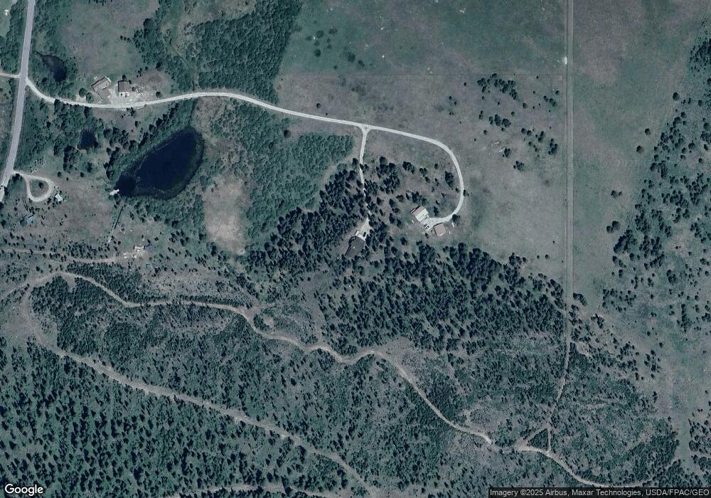
Map
Nearby Homes
- NHN (1.78+/- acres) Sunchild Ln
- Tbd Sunchild Ln
- Lot 2 Whetstone Ridge Ct
- Lot 3 Whetstone Ridge Ct
- TBD Shoot the Moon Ln
- 0 Nhn (1) Highway 1 Lot Unit WP001
- 0 Nhn (2) Highway 1 Lot Unit WP002
- TBD (5.4+/- acres) Gold Coin Ln
- TBD (5.37+/- acres) Gold Coin Ln
- Lot 1 Whetstone Ridge Ct
- NHN Mt Hwy 1 W
- Tbd Gold Coin Ln
- 617 Fire Ln
- 16 Mule Deer Ln
- 14 Highland Ln
- NHN Miners Rd
- 67 Piney Point Rd
- TBD Black Bear
- tbd Black Bear Ln
- Nhn Covellite Ln Unit Lot 9
- 270 Gunsmoke Ln
- 270 Gunsmoke Ln
- 270 Gunsmoke Ln
- 290 Gunsmoke Ln
- 290 Gunsmoke Ln
- 75 Gunsmoke Ln
- 237 Georgetown Lake Rd
- LOT 42 Badger Bay - Georgetown Lake
- 10 Southwell Ln
- 23905 Mt Highway 1
- Tbd Highway 1
- LOT 22 Jericho Bay Subdivision Georgetown Lake
- 24005 Mt Highway 1 W
- 14100 Mt Highway 1 W
- 360 Brown Derby Ln
- Tract 5 Pintler Overlook
- Tract 2 Pintler Overlook
- 7 Fondo Seiko Ln Georgetown Lake
- 13902 Montana 1
- 13902 Montana 1 Unit Brown Derby Resturan