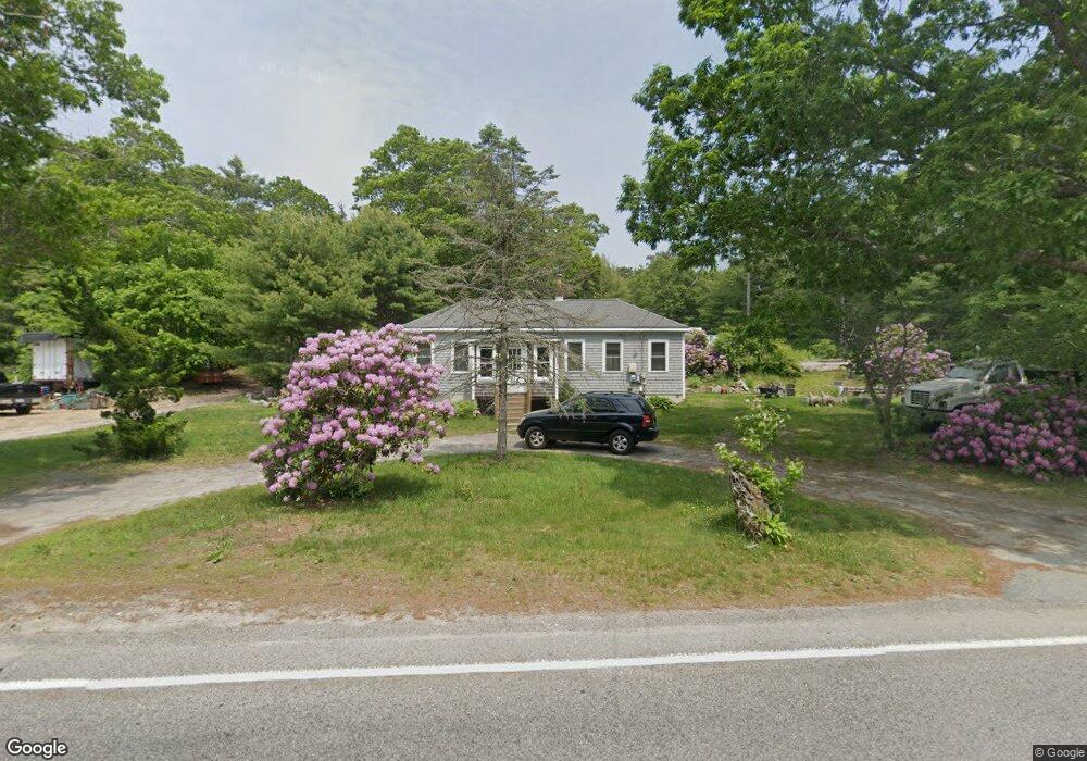
270 Head of The Bay Rd Buzzards Bay, MA 02532
Estimated Value: $477,000 - $700,000
4
Beds
2
Baths
1,256
Sq Ft
$443/Sq Ft
Est. Value
About This Home
This home is located at 270 Head of The Bay Rd, Buzzards Bay, MA 02532 and is currently estimated at $556,095, approximately $442 per square foot. 270 Head of The Bay Rd is a home located in Barnstable County with nearby schools including Bourne High School and St Margaret Regional School.
Ownership History
Date
Name
Owned For
Owner Type
Purchase Details
Closed on
May 12, 2006
Sold by
Soule William D
Bought by
Bartlett Weston
Current Estimated Value
Home Financials for this Owner
Home Financials are based on the most recent Mortgage that was taken out on this home.
Original Mortgage
$100,000
Outstanding Balance
$57,281
Interest Rate
6.4%
Mortgage Type
Purchase Money Mortgage
Estimated Equity
$498,814
Create a Home Valuation Report for This Property
The Home Valuation Report is an in-depth analysis detailing your home's value as well as a comparison with similar homes in the area
Home Values in the Area
Average Home Value in this Area
Purchase History
| Date | Buyer | Sale Price | Title Company |
|---|---|---|---|
| Bartlett Weston | $200,000 | -- | |
| Bartlett Weston | $200,000 | -- |
Source: Public Records
Mortgage History
| Date | Status | Borrower | Loan Amount |
|---|---|---|---|
| Open | Bartlett Weston | $100,000 | |
| Closed | Bartlett Weston | $100,000 |
Source: Public Records
Tax History Compared to Growth
Tax History
| Year | Tax Paid | Tax Assessment Tax Assessment Total Assessment is a certain percentage of the fair market value that is determined by local assessors to be the total taxable value of land and additions on the property. | Land | Improvement |
|---|---|---|---|---|
| 2025 | $3,376 | $432,300 | $184,200 | $248,100 |
| 2024 | $3,300 | $411,500 | $175,400 | $236,100 |
| 2023 | $3,216 | $365,000 | $155,200 | $209,800 |
| 2022 | $2,897 | $287,100 | $154,500 | $132,600 |
| 2021 | $2,816 | $261,500 | $140,600 | $120,900 |
| 2020 | $1,963 | $254,500 | $139,300 | $115,200 |
| 2019 | $2,608 | $248,100 | $139,300 | $108,800 |
| 2018 | $2,437 | $231,200 | $132,700 | $98,500 |
| 2017 | $1,813 | $237,000 | $146,000 | $91,000 |
| 2016 | $2,068 | $203,500 | $116,800 | $86,700 |
| 2015 | $2,049 | $203,500 | $116,800 | $86,700 |
Source: Public Records
Map
Nearby Homes
- 4 Knob Ln
- 171 Puritan Rd
- 162 Puritan Rd
- 23 Settlers Way
- 41 Lewis Point Rd
- 0 Lewis Point Rd
- 65 Lewis Point Rd
- 73 Lewis Point Rd
- 17 Maple St
- 810 Head of The Bay Rd
- 304 Main St
- 9 Hideaway Rd Unit F
- 13 Hideaway Village Unit G
- 27 Baker Ln Unit 27H
- 38 Old Bridge Rd
- 11 Thompson Rd Unit 11A
- 11 Thompson Rd Unit A
- 46 Holt Rd
- 46 Holt Rd Unit A
- 3 Wolf Rd
- 271 Head of The Bay Rd
- 271 Head of The Bay Rd
- 263 Head of The Bay Rd
- 263 Head of The Bay Rd
- 294 Head of The Bay Rd
- 294 Head of The Bay Rd
- 240 Head of The Bay Rd
- 263 Head of Bay
- 240 Head of The Bay Rd
- 295 Head of The Bay Rd
- 235 Head of The Bay Rd
- 235 Head of The Bay Rd
- 236 Head of The Bay Rd
- 236 Head of The Bay Rd
- 314 Head of The Bay Rd
- 314 Head of The Bay Rd
- 225 Head of The Bay Rd
- 225 Head of The Bay Rd
- 285 Head of The Bay Rd
- 321 Head of The Bay Rd