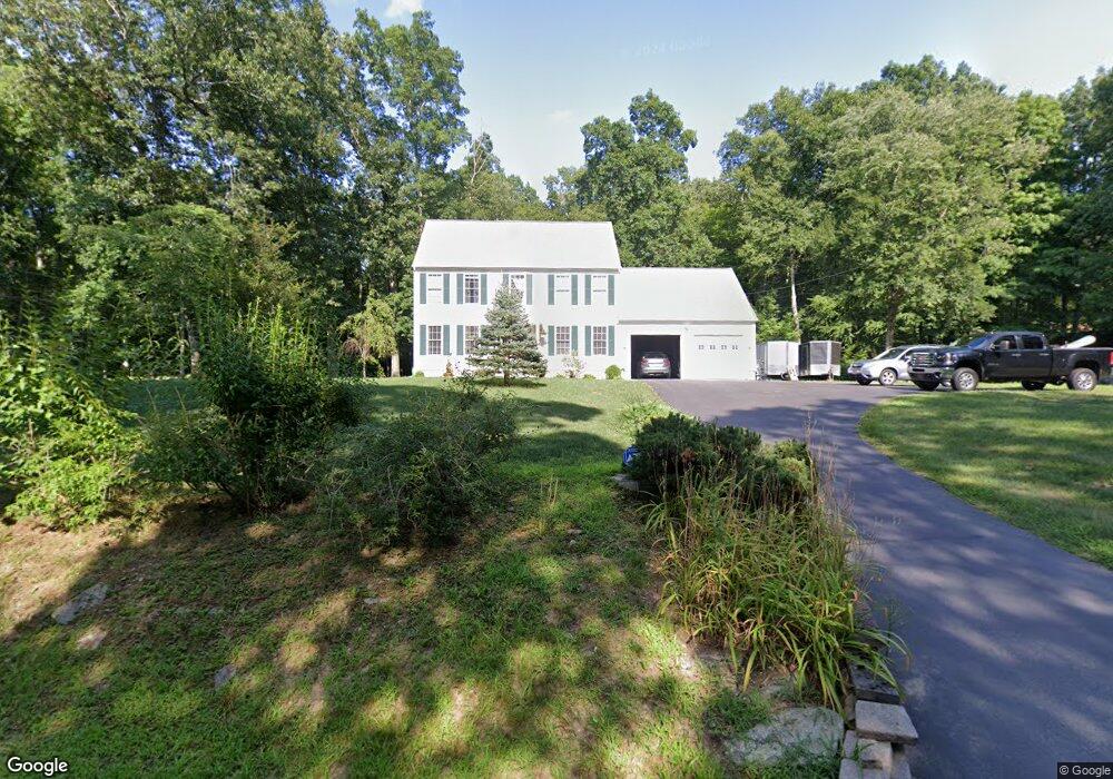
270 Lathrop Rd Plainfield, CT 06374
Estimated Value: $432,000 - $537,000
3
Beds
3
Baths
1,728
Sq Ft
$276/Sq Ft
Est. Value
About This Home
This home is located at 270 Lathrop Rd, Plainfield, CT 06374 and is currently estimated at $476,242, approximately $275 per square foot. 270 Lathrop Rd is a home located in Windham County with nearby schools including Plainfield Memorial School, Plainfield Central Middle School, and Plainfield High School.
Ownership History
Date
Name
Owned For
Owner Type
Purchase Details
Closed on
Apr 27, 2011
Sold by
Furr 3Rd James
Bought by
Sanders Eric A and Sanders Jennifer A
Current Estimated Value
Home Financials for this Owner
Home Financials are based on the most recent Mortgage that was taken out on this home.
Original Mortgage
$205,000
Interest Rate
4.76%
Purchase Details
Closed on
Aug 11, 2006
Sold by
Durand Daniel
Bought by
Furr 3Rd James
Create a Home Valuation Report for This Property
The Home Valuation Report is an in-depth analysis detailing your home's value as well as a comparison with similar homes in the area
Home Values in the Area
Average Home Value in this Area
Purchase History
| Date | Buyer | Sale Price | Title Company |
|---|---|---|---|
| Sanders Eric A | $225,000 | -- | |
| Sanders Eric A | $225,000 | -- | |
| Furr 3Rd James | $110,000 | -- | |
| Furr 3Rd James | $110,000 | -- |
Source: Public Records
Mortgage History
| Date | Status | Borrower | Loan Amount |
|---|---|---|---|
| Open | Furr 3Rd James | $189,750 | |
| Closed | Furr 3Rd James | $205,000 |
Source: Public Records
Tax History Compared to Growth
Tax History
| Year | Tax Paid | Tax Assessment Tax Assessment Total Assessment is a certain percentage of the fair market value that is determined by local assessors to be the total taxable value of land and additions on the property. | Land | Improvement |
|---|---|---|---|---|
| 2025 | $5,395 | $232,150 | $36,470 | $195,680 |
| 2024 | $5,184 | $232,150 | $36,470 | $195,680 |
| 2023 | $5,158 | $232,150 | $36,470 | $195,680 |
| 2022 | $6,574 | $157,510 | $31,520 | $125,990 |
| 2021 | $412 | $156,060 | $31,520 | $124,540 |
| 2020 | $406 | $156,060 | $31,520 | $124,540 |
| 2019 | $411 | $156,060 | $31,520 | $124,540 |
| 2018 | $4,629 | $156,060 | $31,520 | $124,540 |
| 2017 | $272 | $151,940 | $33,180 | $118,760 |
| 2016 | $4,634 | $151,940 | $33,180 | $118,760 |
| 2015 | $4,529 | $151,940 | $33,180 | $118,760 |
| 2014 | $4,529 | $151,940 | $33,180 | $118,760 |
Source: Public Records
Map
Nearby Homes
- 146 Lathrop Rd
- 383 Lathrop Rd
- 128 Lathrop Rd
- 13 Beechwood Blvd
- 0 Dow Rd Unit 24128109
- 26 Perkins St
- 0 Pond St Unit 24037041
- 0A Norwich Rd
- 00 Norwich Rd
- 672 Roode Rd
- 12 Ann St
- 33 Railroad Ave
- 38 Toper Rd
- 68 Roode Rd
- 34 Pleasant St Unit 3
- 34 Pleasant St Unit 7
- 23 South St
- 36 Plainfield Pike
- 31 Uncas Dr
- 0 Plainfield Pike
- 280 Lathrop Rd
- 262 Lathrop Rd
- 259 Kate Downing Rd
- 242 Kate Downing Rd
- 256 Lathrop Rd
- 294 Lathrop Rd
- 295 Lathrop Rd
- 254 Kate Downing Rd
- 263 Kate Downing Rd
- 246 Lathrop Rd
- 211 Kate Downing Rd
- 240 Lathrop Rd
- 275 Kate Downing Rd
- 305 Lathrop Rd
- 312 Lathrop Rd
- 234 Lathrop Rd
- 197 Lathrop Rd
- 226 Lathrop Rd
- 290 Kate Downing Rd
- 291 Kate Downing Rd