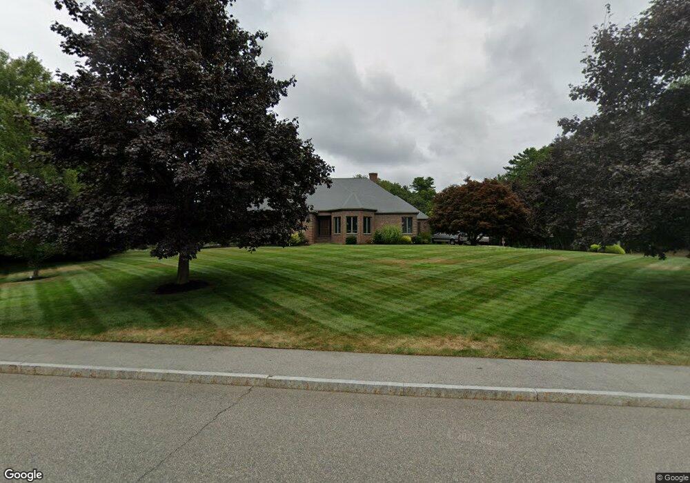
270 Manns Dr Hanover, MA 02339
Estimated Value: $1,122,230 - $1,361,000
3
Beds
3
Baths
3,763
Sq Ft
$320/Sq Ft
Est. Value
About This Home
This home is located at 270 Manns Dr, Hanover, MA 02339 and is currently estimated at $1,202,308, approximately $319 per square foot. 270 Manns Dr is a home located in Plymouth County with nearby schools including Hanover High School, South Shore Charter Public School, and Norwell KinderCare.
Ownership History
Date
Name
Owned For
Owner Type
Purchase Details
Closed on
Dec 4, 2024
Sold by
Bortolotti Jeane M
Bought by
270 Manns Dr Nt and Bortolotti
Current Estimated Value
Create a Home Valuation Report for This Property
The Home Valuation Report is an in-depth analysis detailing your home's value as well as a comparison with similar homes in the area
Home Values in the Area
Average Home Value in this Area
Purchase History
| Date | Buyer | Sale Price | Title Company |
|---|---|---|---|
| 270 Manns Dr Nt | -- | None Available | |
| 270 Manns Dr Nt | -- | None Available | |
| 270 Manns Dr Nt | -- | None Available |
Source: Public Records
Tax History
| Year | Tax Paid | Tax Assessment Tax Assessment Total Assessment is a certain percentage of the fair market value that is determined by local assessors to be the total taxable value of land and additions on the property. | Land | Improvement |
|---|---|---|---|---|
| 2025 | $12,501 | $1,012,200 | $325,600 | $686,600 |
| 2024 | $12,997 | $1,012,200 | $325,600 | $686,600 |
| 2023 | $12,396 | $918,900 | $295,900 | $623,000 |
| 2022 | $13,146 | $862,000 | $258,900 | $603,100 |
| 2021 | $7,094 | $812,200 | $235,600 | $576,600 |
| 2020 | $46,398 | $732,500 | $235,600 | $496,900 |
| 2019 | $45,496 | $770,200 | $246,800 | $523,400 |
| 2018 | $11,477 | $691,100 | $258,000 | $433,100 |
| 2017 | $5,606 | $678,600 | $256,000 | $422,600 |
| 2016 | $11,048 | $655,300 | $232,700 | $422,600 |
| 2015 | $10,231 | $633,500 | $232,700 | $400,800 |
Source: Public Records
Map
Nearby Homes
- 53 Chestnut St
- 776 Main St
- 535 Webster St
- 44 Stone Meadow Ln
- 47 Stone Meadow Ln
- 46 Brookwood Rd
- 506 Main St
- 62 Larchmont Ln
- 73 Shingle Mill Ln
- 7 Assinippi Ave Unit 205
- 7 Assinippi Ave Unit 306
- 49 Washington Park Dr
- 18 Winterberry Ln
- 36 Bayberry Ln
- 164 Main St
- 68 East St
- 738 Whiting St
- 214 Washington St Unit 24
- 214 Washington St Unit 28
- 225 Prospect St
- 295 Old Town Way
- 220 Mann's Dr
- 313 Old Town Way
- 262 Manns Dr
- 26 Henderson Ln
- 34 Henderson Ln
- 285 Old Town Way
- 253 Manns Dr
- 248 Manns Dr
- 327 Old Town Way
- 312 Old Town Way
- 273 Old Town Way
- 288 Old Town Way
- 47 Henderson Ln
- 67 Henderson Ln
- 324 Old Town Way
- 339 Old Town Way
- 234 Manns Dr
- 263 Old Town Way
- 272 Old Town Way
Your Personal Tour Guide
Ask me questions while you tour the home.