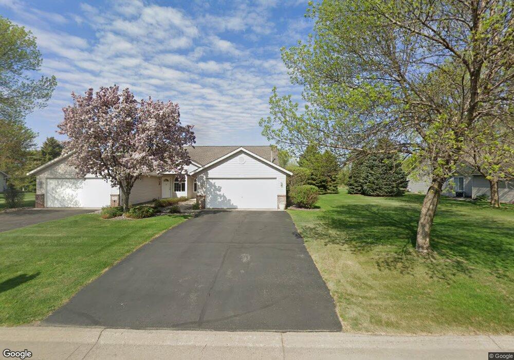
270 Maple Ln Big Lake, MN 55309
Estimated Value: $248,000 - $327,000
2
Beds
2
Baths
1,345
Sq Ft
$207/Sq Ft
Est. Value
About This Home
This home is located at 270 Maple Ln, Big Lake, MN 55309 and is currently estimated at $278,837, approximately $207 per square foot. 270 Maple Ln is a home located in Sherburne County with nearby schools including Liberty Elementary School, Independence Elementary School, and Big Lake Middle School.
Ownership History
Date
Name
Owned For
Owner Type
Purchase Details
Closed on
Mar 31, 2020
Sold by
Knowltcn Rose I
Bought by
Blake Family Trust
Current Estimated Value
Purchase Details
Closed on
Sep 13, 2013
Sold by
Labathe Charlotte Charlotte
Bought by
Knowlton Rose Rose
Purchase Details
Closed on
Jun 27, 2002
Sold by
Anderson Elaine
Bought by
Labathe Charlotte E
Create a Home Valuation Report for This Property
The Home Valuation Report is an in-depth analysis detailing your home's value as well as a comparison with similar homes in the area
Home Values in the Area
Average Home Value in this Area
Purchase History
| Date | Buyer | Sale Price | Title Company |
|---|---|---|---|
| Blake Family Trust | $179,500 | None Available | |
| Knowlton Rose Rose | $120,000 | -- | |
| Labathe Charlotte E | $145,900 | -- |
Source: Public Records
Tax History Compared to Growth
Tax History
| Year | Tax Paid | Tax Assessment Tax Assessment Total Assessment is a certain percentage of the fair market value that is determined by local assessors to be the total taxable value of land and additions on the property. | Land | Improvement |
|---|---|---|---|---|
| 2025 | $2,958 | $256,700 | $50,700 | $206,000 |
| 2024 | $2,936 | $256,600 | $50,700 | $205,900 |
| 2023 | $2,820 | $253,200 | $52,000 | $201,200 |
| 2022 | $2,600 | $236,200 | $44,500 | $191,700 |
| 2020 | $2,536 | $182,900 | $28,000 | $154,900 |
| 2019 | $2,404 | $178,600 | $25,000 | $153,600 |
| 2018 | $2,186 | $168,600 | $25,000 | $143,600 |
| 2017 | $1,972 | $150,600 | $20,400 | $130,200 |
| 2016 | $1,870 | $134,600 | $18,400 | $116,200 |
| 2015 | $1,714 | $104,400 | $14,800 | $89,600 |
| 2014 | $1,626 | $101,300 | $16,300 | $85,000 |
| 2013 | -- | $91,300 | $15,700 | $75,600 |
Source: Public Records
Map
Nearby Homes
- 241 Leighton Dr
- TBD Highway 10 NW
- 491 Highland Ave
- 20050 County Road 81 NW
- 679 Lakeshore Dr
- 20311 Gordon Ln
- TBD Manitou St
- 3300 Lake View Ln
- 637 Norwood Ln
- 20189 Esther Pkwy
- 20172 Truman Dr
- 240 Wyoming Ave
- 4265 Lake Ridge Dr
- 4637 Pond View Cir
- 874 Independence Dr NW
- 100 Park Ave
- 5008 Bluff Rd
- 3250 Lake Ridge Dr
- 541 William St
- 110 Powell Cir E
- 260 Maple Ln
- 280 Maple Ln
- 290 Maple Ln
- 250 Maple Ln
- 240 Maple Ln
- 265 Maple Ln
- 275 Maple Ln
- 255 Maple Ln
- 245 Maple Ln
- 242 Leighton Dr
- 240 Leighton Dr
- 235 Maple Ln
- 225 Maple Ln
- 231 Leighton Dr
- 230 Leighton Dr Unit 1
- 230 Leighton Dr
- 215 Maple Ln
- 221 Leighton Dr
- 220 Leighton Dr Unit 1
- 220 Leighton Dr Unit 4