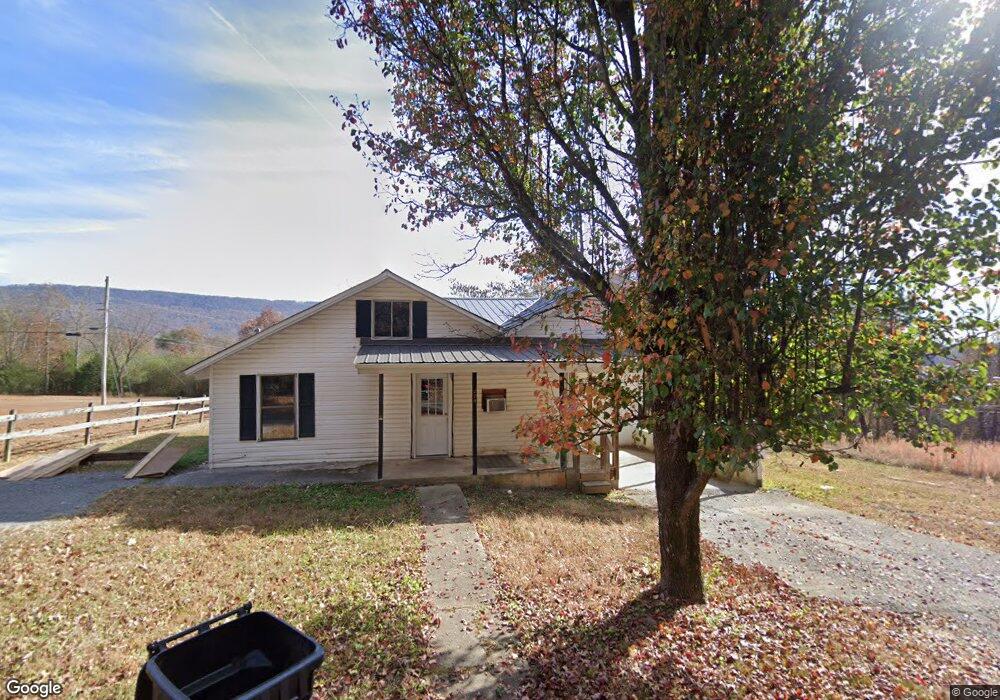
270 Mcdowell Rd Dunlap, TN 37327
Estimated Value: $105,000 - $194,000
Studio
1
Bath
1,160
Sq Ft
$119/Sq Ft
Est. Value
About This Home
This home is located at 270 Mcdowell Rd, Dunlap, TN 37327 and is currently estimated at $138,395, approximately $119 per square foot. 270 Mcdowell Rd is a home located in Sequatchie County with nearby schools including Griffith Elementary School, Sequatchie County Middle School, and Sequatchie County High School.
Ownership History
Date
Name
Owned For
Owner Type
Purchase Details
Closed on
Jul 9, 2020
Sold by
Tate Kenda M
Bought by
Land Dwain and Land Keith M
Current Estimated Value
Purchase Details
Closed on
Sep 17, 2003
Sold by
Lee Tate Claudia
Bought by
Dale Tate Ronnie
Home Financials for this Owner
Home Financials are based on the most recent Mortgage that was taken out on this home.
Original Mortgage
$42,694
Interest Rate
6.33%
Purchase Details
Closed on
Apr 13, 1998
Sold by
Lee Tate Claudie
Bought by
Tate Harold E
Create a Home Valuation Report for This Property
The Home Valuation Report is an in-depth analysis detailing your home's value as well as a comparison with similar homes in the area
Home Values in the Area
Average Home Value in this Area
Purchase History
| Date | Buyer | Sale Price | Title Company |
|---|---|---|---|
| Land Dwain | $37,000 | None Available | |
| Dale Tate Ronnie | $56,000 | -- | |
| Tate Harold E | $12,368 | -- |
Source: Public Records
Mortgage History
| Date | Status | Borrower | Loan Amount |
|---|---|---|---|
| Previous Owner | Tate Harold E | $42,694 |
Source: Public Records
Tax History
| Year | Tax Paid | Tax Assessment Tax Assessment Total Assessment is a certain percentage of the fair market value that is determined by local assessors to be the total taxable value of land and additions on the property. | Land | Improvement |
|---|---|---|---|---|
| 2025 | $534 | $22,100 | $3,425 | $18,675 |
| 2024 | $534 | $22,100 | $3,425 | $18,675 |
| 2023 | $534 | $22,100 | $3,425 | $18,675 |
| 2022 | $378 | $11,400 | $2,600 | $8,800 |
| 2021 | $372 | $11,400 | $2,600 | $8,800 |
| 2020 | $372 | $11,400 | $2,600 | $8,800 |
| 2019 | $372 | $11,400 | $2,600 | $8,800 |
| 2018 | $368 | $11,400 | $2,600 | $8,800 |
| 2017 | $364 | $11,400 | $2,600 | $8,800 |
| 2016 | $406 | $12,175 | $3,075 | $9,100 |
| 2015 | $406 | $12,175 | $3,075 | $9,100 |
| 2014 | $406 | $12,175 | $3,075 | $9,100 |
Source: Public Records
Map
Nearby Homes
- 95 A Main St
- Lot 36 River Ridge Dr
- Lot 13 B Greenfields Way
- 0 SE US Hwy 127 Unit 1519993
- 0 SE US Hwy 127 Unit 1519990
- 0 SE US Hwy 127 Unit 1519988
- 0 SE US Hwy 127 Unit 1314389
- 0 SE US Hwy 127 Unit 1519979
- 0 SE US Hwy 127 Unit 1519991
- 0 SE US Hwy 127 Unit 1519984
- 21550 U S 127
- 21552 U S 127
- 2 Fredonia Rd
- 0 State Rt 399 Lot 13
- 1 Fredonia Rd
- 3 Fredonia Rd
- 254 Cdl Trail
- 95 Blue Sky Rd Rd
- 410 Cherry St
- 407 Standifer Cir
- 194 Mcdowell Rd
- 413 Mcdowell Rd
- 413 Mcdowell Rd
- 152 Mcdowell Rd
- 368 Mcdowell Rd
- 317 Lockhart Rd
- 418 Mcdowell
- 420 Mcdowell St
- 397 Mcdowell Rd
- 379 Lockhart Rd Unit JOHN
- 398 Mcdowell Rd
- 435 Mcdowell Rd
- 399 Lockhart Rd
- 299 Lockhart Rd
- 420 Mc Dowell Rd
- 445 Mcdowell Rd
- 436 Mcdowell Rd
- 436 McDowell Ridge Rd
- 288 Lockhart Rd
- 465 Mcdowell Rd
Your Personal Tour Guide
Ask me questions while you tour the home.