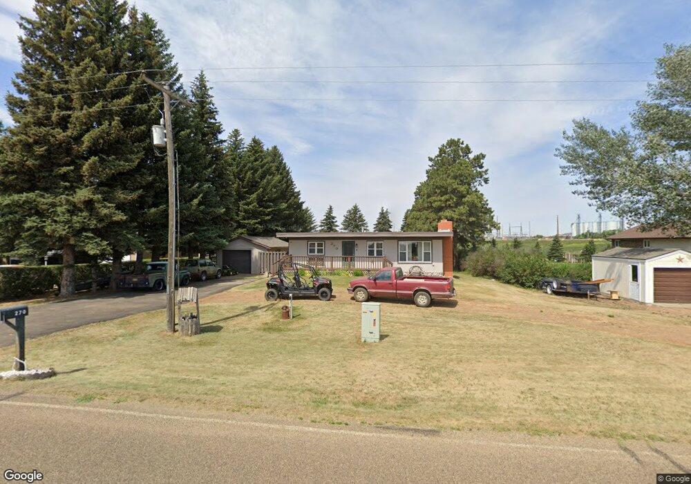
270 Palm Beach Rd Dickinson, ND 58601
Estimated Value: $242,000 - $341,000
3
Beds
1
Bath
924
Sq Ft
$309/Sq Ft
Est. Value
About This Home
This home is located at 270 Palm Beach Rd, Dickinson, ND 58601 and is currently estimated at $285,613, approximately $309 per square foot. 270 Palm Beach Rd is a home located in Stark County with nearby schools including Trinity Elementary School West.
Ownership History
Date
Name
Owned For
Owner Type
Purchase Details
Closed on
Nov 4, 2010
Sold by
Chorne Donovan R and Privratsky Sharon M
Bought by
Makowski James and Chavis Carolyn
Current Estimated Value
Home Financials for this Owner
Home Financials are based on the most recent Mortgage that was taken out on this home.
Original Mortgage
$147,907
Outstanding Balance
$98,724
Interest Rate
4.5%
Mortgage Type
FHA
Estimated Equity
$186,889
Create a Home Valuation Report for This Property
The Home Valuation Report is an in-depth analysis detailing your home's value as well as a comparison with similar homes in the area
Home Values in the Area
Average Home Value in this Area
Purchase History
| Date | Buyer | Sale Price | Title Company |
|---|---|---|---|
| Makowski James | -- | None Available |
Source: Public Records
Mortgage History
| Date | Status | Borrower | Loan Amount |
|---|---|---|---|
| Open | Makowski James | $147,907 |
Source: Public Records
Tax History Compared to Growth
Tax History
| Year | Tax Paid | Tax Assessment Tax Assessment Total Assessment is a certain percentage of the fair market value that is determined by local assessors to be the total taxable value of land and additions on the property. | Land | Improvement |
|---|---|---|---|---|
| 2024 | $1,147 | $153,300 | $22,200 | $131,100 |
| 2023 | $1,377 | $145,400 | $22,200 | $123,200 |
| 2022 | $1,308 | $145,400 | $22,200 | $123,200 |
| 2021 | $1,308 | $141,500 | $22,200 | $119,300 |
| 2020 | $1,341 | $143,100 | $22,200 | $120,900 |
| 2019 | $1,284 | $137,100 | $22,200 | $114,900 |
| 2018 | $1,270 | $138,600 | $22,200 | $116,400 |
| 2017 | $1,145 | $138,600 | $22,200 | $116,400 |
| 2015 | $1,145 | $138,600 | $22,200 | $116,400 |
| 2014 | $1,133 | $132,400 | $22,200 | $110,200 |
| 2013 | -- | $126,100 | $22,200 | $103,900 |
Source: Public Records
Map
Nearby Homes
- 0 Lot 6a Block 1 Stable Estate Unit 24-28
- 0 Stable Estate Sub L3 B1 Unit 25-865
- 0 Estate Unit 24-30
- 0 Lot 2 Block 1 Stable Estates Unit 23-213
- 0 Lot 7a Block 1 Stable Estate Unit 24-29
- 0 Lot 12 Block 1 Stable Estate Unit 23-226
- 0 Lot 14 Block 1 Stable Estate Unit 23-228
- 0 Lot 10 Block 1 Stable Estate Unit 23-224
- 0 Lot 11 Block 1 Stable Estate Unit 23-225
- 0 Lot 5 Block 3 Stable Estates Unit 23-218
- 0 Lot 13 Block 1 Stable Estate Unit 23-227
- 0 Lot 16 Block 1 Stable Estate Unit 23-230
- 0 Lot 6 Block 3 Stable Estates Unit 23-221
- 0 Lot 15 Block 1 Stable Estate Unit 23-229
- 0 Lot 5 Block 1 Stable Estates Unit 25-65
- 1459 2nd St S
- 1467 Villard St W
- 0 5th St SW
- 0 S State Ave
- S State Ave
- 242 Palm Beach Rd
- 286 Palm Beach Rd
- 302 Palm Beach Rd
- 226 Palm Beach Rd
- 208 Palm Beach Rd
- 0 Lot 3 Block 1 Stable Estate Unit 21-296
- 192 Palm Beach Rd
- 0 Lot 8 Block 1 Stable Estates Unit 21-299
- 352 Palm Beach Rd
- 0 Lot 6 Block 1 Stable Estate Unit 21-297
- 176 Palm Beach Rd
- 0 Lot 7 Block 1 Stable Estate Unit 21-298
- 370 Palm Beach Rd
- 275 Palm Beach Rd
- 0 Lot 2 Block 1 Stable Estates Unit 21-295
- 0 Lot 9 Block 1 Stable Estates Unit 23-223
- 0 Lot 9 Block 1 Stable Estates Unit 21-300
- 0 Lot 12 Block 1 Stable Estate Unit 21-303
- 380 Palm Beach Rd
- 0 Lot 10 Block 1 Stable Estate Unit 21-301