Estimated Value: $309,000 - $433,000
4
Beds
3
Baths
960
Sq Ft
$380/Sq Ft
Est. Value
About This Home
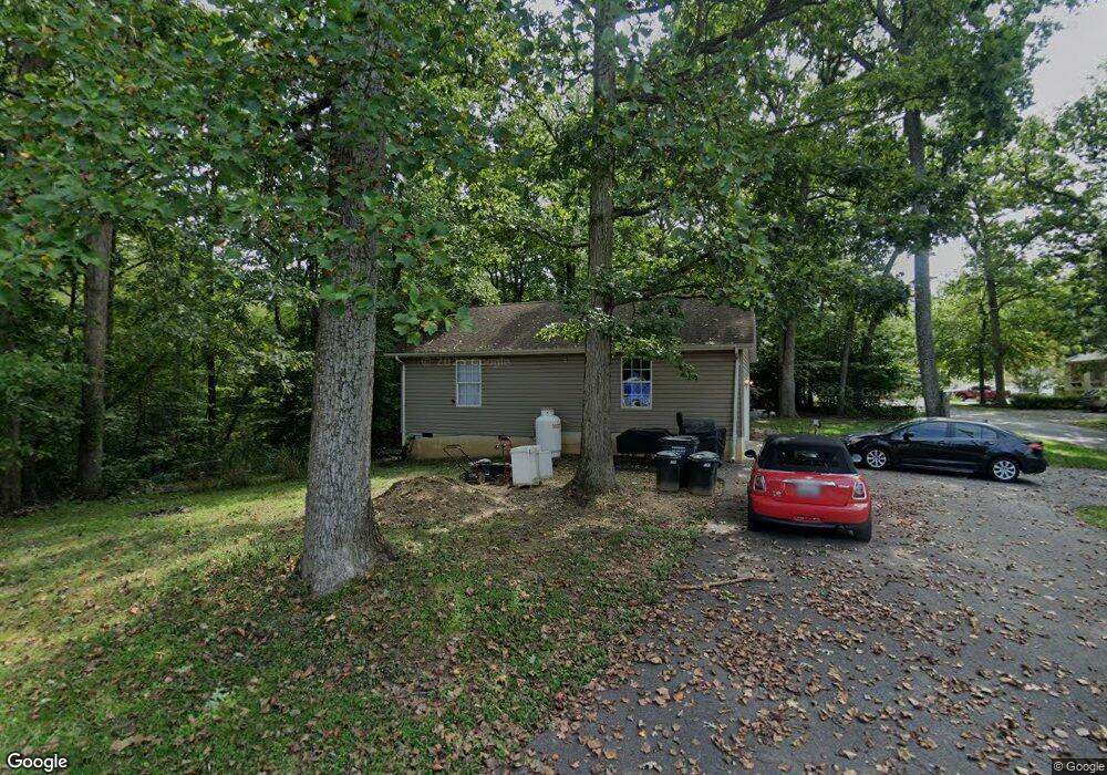
This home is located at 270 Pawnee Ln, Lusby, MD 20657 and is currently estimated at $364,897, approximately $380 per square foot. 270 Pawnee Ln is a home located in Calvert County with nearby schools including Patuxent Appeal Elementary Campus, Mill Creek Middle School, and Patuxent High School.
Ownership History
Date
Name
Owned For
Owner Type
Purchase Details
Closed on
Dec 29, 2021
Sold by
Priddy James A
Bought by
Holcomb Michael S and Holcomb Michelle L
Current Estimated Value
Home Financials for this Owner
Home Financials are based on the most recent Mortgage that was taken out on this home.
Original Mortgage
$323,823
Outstanding Balance
$297,872
Interest Rate
3.12%
Mortgage Type
Purchase Money Mortgage
Estimated Equity
$67,025
Purchase Details
Closed on
Aug 9, 2006
Sold by
Flanary Pauline M
Bought by
Priddy James A
Purchase Details
Closed on
Jul 27, 2006
Sold by
Flanary Pauline M
Bought by
Priddy James A
Create a Home Valuation Report for This Property
The Home Valuation Report is an in-depth analysis detailing your home's value as well as a comparison with similar homes in the area
Home Values in the Area
Average Home Value in this Area
Purchase History
| Date | Buyer | Sale Price | Title Company |
|---|---|---|---|
| Holcomb Michael S | $320,000 | Bridgeview Title Llc | |
| Priddy James A | $234,000 | -- | |
| Priddy James A | $234,000 | -- |
Source: Public Records
Mortgage History
| Date | Status | Borrower | Loan Amount |
|---|---|---|---|
| Open | Holcomb Michael S | $323,823 |
Source: Public Records
Tax History Compared to Growth
Tax History
| Year | Tax Paid | Tax Assessment Tax Assessment Total Assessment is a certain percentage of the fair market value that is determined by local assessors to be the total taxable value of land and additions on the property. | Land | Improvement |
|---|---|---|---|---|
| 2025 | $2,976 | $277,867 | $0 | $0 |
| 2024 | $2,976 | $235,733 | $0 | $0 |
| 2023 | $2,166 | $193,600 | $55,200 | $138,400 |
| 2022 | $2,371 | $187,167 | $0 | $0 |
| 2021 | $4,741 | $180,733 | $0 | $0 |
| 2020 | $2,240 | $174,300 | $55,200 | $119,100 |
| 2019 | $1,828 | $174,300 | $55,200 | $119,100 |
| 2018 | $1,828 | $174,300 | $55,200 | $119,100 |
| 2017 | $2,244 | $175,800 | $0 | $0 |
| 2016 | -- | $175,800 | $0 | $0 |
| 2015 | $2,210 | $175,800 | $0 | $0 |
| 2014 | $2,210 | $178,500 | $0 | $0 |
Source: Public Records
Map
Nearby Homes
- 11522 Buckskin Ct
- 228 Thunderbird Dr
- 291 Red Cloud Rd
- 232 Thunderbird Dr
- 285 Red Cloud Rd
- 513 Bridle Ct
- 11423 Rawhide Rd
- 11615 Big Bear Ln
- 11554 Durango Dr
- 11590 Durango Dr
- 11436 Stirrup Ln
- 11722 Big Bear Ln
- 11504 Durango Dr
- 383 Red Cloud Rd
- 11503 Ventura Trail
- 646 White Rock Rd
- 11609 Deadwood Dr
- 11616 Deadwood Dr
- 11525 Senora Ln
- 30 American Ln
- 11525 Buckskin Ct
- 274 Buckskin Trail
- 265 Buckskin Trail
- 269 Buckskin Trail
- 269 Pawnee Ln
- 264 Pawnee Ln
- 265 Pawnee Ln
- 11521 Buckskin Ct
- 11535 Buckskin Ct
- 261 Buckskin Trail
- 12665 San Antonio Ct
- 202 Thunderbird Dr
- 11530 Buckskin Ct
- 261 Pawnee Ln
- 300 Custer Ct
- 194 Thunderbird Dr
- 260 Pawnee Ln
- 11539 Buckskin Ct
- 206 Thunderbird Dr
- 11526 Buckskin Ct