270 Pond Rd Vineyard Haven, MA 02568
West Tisbury NeighborhoodEstimated Value: $2,909,000 - $4,735,000
5
Beds
4
Baths
4,616
Sq Ft
$791/Sq Ft
Est. Value
About This Home
This home is located at 270 Pond Rd, Vineyard Haven, MA 02568 and is currently estimated at $3,651,057, approximately $790 per square foot. 270 Pond Rd is a home located in Dukes County with nearby schools including Martha's Vineyard Regional High School and Martha's Vineyard Charter School.
Ownership History
Date
Name
Owned For
Owner Type
Purchase Details
Closed on
Nov 1, 2002
Sold by
Mosesian Gail B
Bought by
Browne Craig R and Browne Jacqueline R
Current Estimated Value
Purchase Details
Closed on
Jul 13, 1999
Sold by
Lombardi Primo A and Lombardi Mary D
Bought by
Mosesian Gail B
Purchase Details
Closed on
Mar 26, 1997
Sold by
Deep Bottom Pond T
Bought by
Lombardi Primo A and Lombardi Mary D
Create a Home Valuation Report for This Property
The Home Valuation Report is an in-depth analysis detailing your home's value as well as a comparison with similar homes in the area
Home Values in the Area
Average Home Value in this Area
Purchase History
| Date | Buyer | Sale Price | Title Company |
|---|---|---|---|
| Browne Craig R | $365,000 | -- | |
| Mosesian Gail B | $192,500 | -- | |
| Lombardi Primo A | $120,000 | -- |
Source: Public Records
Mortgage History
| Date | Status | Borrower | Loan Amount |
|---|---|---|---|
| Open | Lombardi Primo A | $664,000 | |
| Closed | Lombardi Primo A | $750,000 |
Source: Public Records
Tax History Compared to Growth
Tax History
| Year | Tax Paid | Tax Assessment Tax Assessment Total Assessment is a certain percentage of the fair market value that is determined by local assessors to be the total taxable value of land and additions on the property. | Land | Improvement |
|---|---|---|---|---|
| 2025 | $16,703 | $3,687,200 | $1,080,000 | $2,607,200 |
| 2024 | $15,170 | $3,527,900 | $1,048,700 | $2,479,200 |
| 2023 | $14,502 | $3,326,100 | $998,900 | $2,327,200 |
| 2022 | $12,571 | $2,160,000 | $544,300 | $1,615,700 |
| 2021 | $12,580 | $2,062,300 | $512,300 | $1,550,000 |
| 2020 | $12,539 | $2,065,800 | $510,900 | $1,554,900 |
| 2019 | $12,135 | $1,963,600 | $510,900 | $1,452,700 |
| 2018 | $11,927 | $1,968,100 | $510,900 | $1,457,200 |
| 2017 | $11,033 | $1,848,000 | $510,900 | $1,337,100 |
| 2016 | $10,948 | $1,806,600 | $484,400 | $1,322,200 |
| 2015 | $10,316 | $1,806,600 | $484,400 | $1,322,200 |
| 2014 | $8,186 | $1,513,200 | $482,900 | $1,030,300 |
Source: Public Records
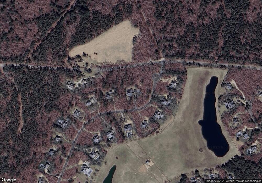
Map
Nearby Homes
- 32 Edgartown - West Tisbury Rd Unit 81
- 111 Charles Neck Way
- 25 Vineyard Meadow Farms Rd
- 10 Danls Way
- 104 Pond View Farm Rd
- 25 Coffins Field Rd
- 25 Coffins Field Rd Unit 18
- 40 Scotchmans Ln
- 229 Oak Ln
- 16 South Rd
- 22 Bramble Path Unit 214
- 22 Bramble Path
- 9 Galway Rd
- 651 State Rd
- 146 Quansoo Rd
- 52 Old Coach Rd
- 10 Trotters Ln
- 31 Josiah Sachem Way
- 34 Pine Ln
- 42 Hidden Village Rd