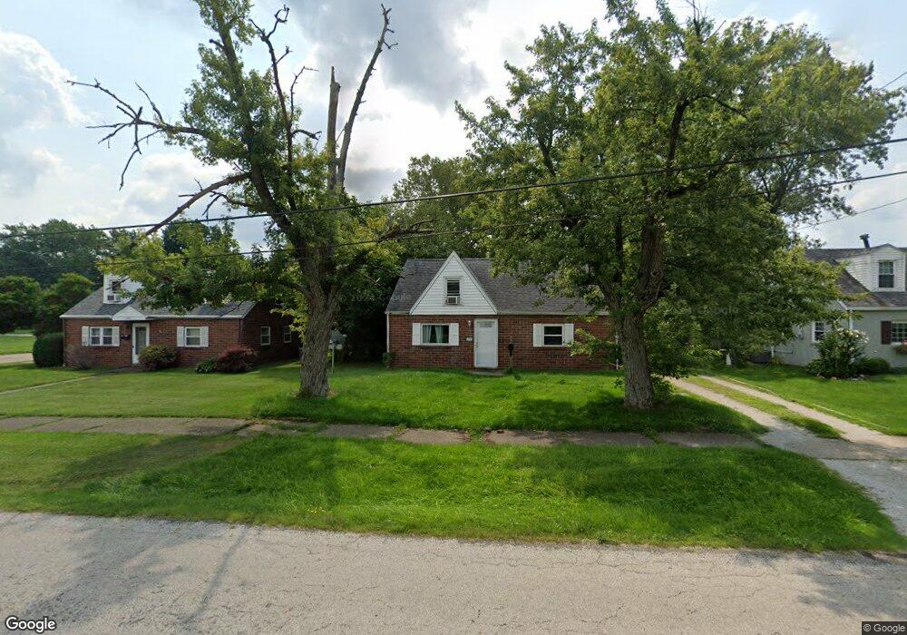
270 W 23rd St Alliance, OH 44601
Estimated Value: $90,544 - $167,000
2
Beds
1
Bath
1,200
Sq Ft
$107/Sq Ft
Est. Value
About This Home
This home is located at 270 W 23rd St, Alliance, OH 44601 and is currently estimated at $128,886, approximately $107 per square foot. 270 W 23rd St is a home located in Stark County with nearby schools including Alliance Elementary School at Rockhill, Alliance Intermediate School at Northside, and Alliance Middle School.
Ownership History
Date
Name
Owned For
Owner Type
Purchase Details
Closed on
Jul 11, 2014
Sold by
Clark Kevin
Bought by
University Of Mount Union
Current Estimated Value
Purchase Details
Closed on
Sep 15, 2004
Sold by
Cunningham Beth A
Bought by
Clark Kevin
Home Financials for this Owner
Home Financials are based on the most recent Mortgage that was taken out on this home.
Original Mortgage
$54,400
Interest Rate
6.53%
Mortgage Type
Purchase Money Mortgage
Purchase Details
Closed on
Mar 19, 1990
Create a Home Valuation Report for This Property
The Home Valuation Report is an in-depth analysis detailing your home's value as well as a comparison with similar homes in the area
Home Values in the Area
Average Home Value in this Area
Purchase History
| Date | Buyer | Sale Price | Title Company |
|---|---|---|---|
| University Of Mount Union | $64,000 | Heritage Union Title Co Ltd | |
| Clark Kevin | $68,000 | -- | |
| -- | $31,000 | -- |
Source: Public Records
Mortgage History
| Date | Status | Borrower | Loan Amount |
|---|---|---|---|
| Previous Owner | Clark Kevin | $54,400 | |
| Closed | Clark Kevin | $13,600 |
Source: Public Records
Tax History Compared to Growth
Tax History
| Year | Tax Paid | Tax Assessment Tax Assessment Total Assessment is a certain percentage of the fair market value that is determined by local assessors to be the total taxable value of land and additions on the property. | Land | Improvement |
|---|---|---|---|---|
| 2025 | -- | $22,090 | $6,930 | $15,160 |
| 2024 | -- | $22,090 | $6,930 | $15,160 |
| 2023 | $990 | $24,050 | $8,790 | $15,260 |
| 2022 | $996 | $24,050 | $8,790 | $15,260 |
| 2021 | $999 | $24,050 | $8,790 | $15,260 |
| 2020 | $912 | $20,510 | $7,630 | $12,880 |
| 2019 | $900 | $20,510 | $7,630 | $12,880 |
| 2018 | $904 | $20,510 | $7,630 | $12,880 |
| 2017 | $811 | $18,060 | $6,370 | $11,690 |
| 2016 | $817 | $18,060 | $6,370 | $11,690 |
| 2015 | $873 | $18,060 | $6,370 | $11,690 |
| 2014 | $688 | $14,750 | $5,220 | $9,530 |
| 2013 | $343 | $14,750 | $5,220 | $9,530 |
Source: Public Records
Map
Nearby Homes
- 236 E Milton St
- 2839 S Rockhill Ave
- 2460 S Arch Ave
- 317 E State St
- 112 E College St
- 884 W College Rd
- 2408 S Linden Ave
- 1515 S Rockhill Ave
- 2218 S Freedom Ave
- 3101 Ridgehill Ave
- 390 E College St
- 1475 Chatauqua Ct
- 1059 Oakwood Dr
- 1846 S Freedom Ave
- 2376 S Seneca Ave
- 555 E Milton St
- 1437 S Linden Ave
- 2112 Blenheim Ave
- 1321 Parkway Blvd
- 1136 Parkway Blvd