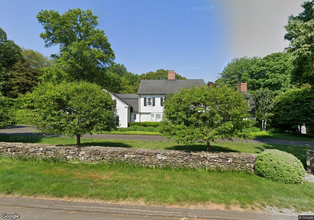
270 Warner Hill Rd Southport, CT 06890
Estimated Value: $2,174,000 - $2,266,930
5
Beds
5
Baths
4,128
Sq Ft
$537/Sq Ft
Est. Value
About This Home
This home is located at 270 Warner Hill Rd, Southport, CT 06890 and is currently estimated at $2,216,733, approximately $536 per square foot. 270 Warner Hill Rd is a home located in Fairfield County with nearby schools including Mill Hill School, Roger Ludlowe Middle School, and Fairfield Ludlowe High School.
Ownership History
Date
Name
Owned For
Owner Type
Purchase Details
Closed on
Apr 29, 2005
Sold by
Lloyd John W and Lloyd Barbara G
Bought by
Pacilio Eileen
Current Estimated Value
Purchase Details
Closed on
Jun 24, 1999
Sold by
Heanve Katherine D and Scalzo Barbara J
Bought by
Lascano Manuel
Home Financials for this Owner
Home Financials are based on the most recent Mortgage that was taken out on this home.
Original Mortgage
$650,000
Interest Rate
7.09%
Purchase Details
Closed on
Jul 15, 1997
Sold by
Bodine Ruth E
Bought by
Lloyd John W and Lloyd Barbara G
Create a Home Valuation Report for This Property
The Home Valuation Report is an in-depth analysis detailing your home's value as well as a comparison with similar homes in the area
Home Values in the Area
Average Home Value in this Area
Purchase History
| Date | Buyer | Sale Price | Title Company |
|---|---|---|---|
| Pacilio Eileen | $1,437,500 | -- | |
| Pacilio Eileen | $1,437,500 | -- | |
| Lascano Manuel | $180,000 | -- | |
| Lascano Manuel | $180,000 | -- | |
| Lloyd John W | $775,000 | -- | |
| Lloyd John W | $775,000 | -- |
Source: Public Records
Mortgage History
| Date | Status | Borrower | Loan Amount |
|---|---|---|---|
| Previous Owner | Lloyd John W | $681,687 | |
| Previous Owner | Lloyd John W | $650,000 |
Source: Public Records
Tax History Compared to Growth
Tax History
| Year | Tax Paid | Tax Assessment Tax Assessment Total Assessment is a certain percentage of the fair market value that is determined by local assessors to be the total taxable value of land and additions on the property. | Land | Improvement |
|---|---|---|---|---|
| 2025 | $27,103 | $954,660 | $443,100 | $511,560 |
| 2024 | $26,635 | $954,660 | $443,100 | $511,560 |
| 2023 | $26,263 | $954,660 | $443,100 | $511,560 |
| 2022 | $26,005 | $954,660 | $443,100 | $511,560 |
| 2021 | $25,757 | $954,660 | $443,100 | $511,560 |
| 2020 | $25,208 | $940,940 | $438,550 | $502,390 |
| 2019 | $25,208 | $940,940 | $438,550 | $502,390 |
| 2018 | $24,803 | $940,940 | $438,550 | $502,390 |
| 2017 | $24,295 | $940,940 | $438,550 | $502,390 |
| 2016 | $23,947 | $940,940 | $438,550 | $502,390 |
| 2015 | $24,220 | $976,990 | $462,490 | $514,500 |
| 2014 | $23,839 | $976,990 | $462,490 | $514,500 |
Source: Public Records
Map
Nearby Homes
- 160 Cedar Rd
- 11 Twin Brooks Ln
- 1135 Mill Hill Rd
- 232 Pell Meadow Dr
- 254 Sherwood Farm Rd
- 476 Mill Hill Terrace
- 83 Pell Meadow Dr
- 647 Bronson Rd
- 844 Mill Hill Terrace
- 56 Drake Ln
- 105 Charter Oak Rd
- 688 Hulls Farm Rd
- 2683 Bronson Rd
- 53 Hilltop Dr
- 66 Adams Rd
- 400 Bronson Rd
- 44 Deer Run Rd
- 33 Middlebrook Place
- 153 Pease Ave
- 28 Mill Hill Rd Unit 28
- 265 Warner Hill Rd
- 180 Field Rock Rd
- 320 Warner Hill Rd
- 32 Field Rock Rd
- 323 Warner Hill Rd
- 211 Warner Hill Rd
- 92 Field Rock Rd
- 115 Sherwood Dr
- 370 Warner Hill Rd
- 191 Field Rock Rd
- 127 Field Rock Rd
- 161 Sherwood Dr
- 159 Field Rock Rd
- 45 Field Rock Rd
- 93 Field Rock Rd
- 291 Warner Hill Rd
- 209 Sherwood Dr
- 140 Sherwood Dr
- 20 Field Rock Rd
- 380 Warner Hill Rd