Estimated Value: $840,237 - $978,000
4
Beds
3
Baths
3,322
Sq Ft
$280/Sq Ft
Est. Value
About This Home
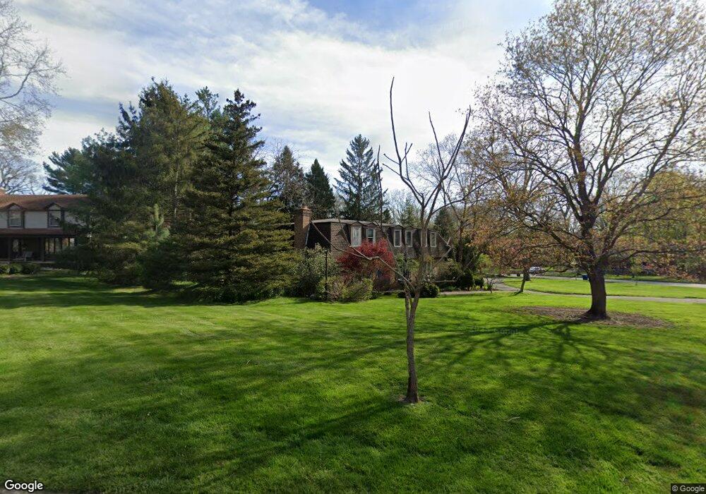
This home is located at 2700 Lowell Rd, Ann Arbor, MI 48103 and is currently estimated at $928,559, approximately $279 per square foot. 2700 Lowell Rd is a home located in Washtenaw County with nearby schools including Wines Elementary School, Forsythe Middle School, and Skyline High School.
Ownership History
Date
Name
Owned For
Owner Type
Purchase Details
Closed on
Aug 5, 1995
Sold by
Mulholland Michael W
Bought by
Cornblath Wayne T and Cornblath Barbara
Current Estimated Value
Home Financials for this Owner
Home Financials are based on the most recent Mortgage that was taken out on this home.
Original Mortgage
$203,000
Outstanding Balance
$127,429
Interest Rate
6.54%
Mortgage Type
New Conventional
Estimated Equity
$801,130
Create a Home Valuation Report for This Property
The Home Valuation Report is an in-depth analysis detailing your home's value as well as a comparison with similar homes in the area
Home Values in the Area
Average Home Value in this Area
Purchase History
| Date | Buyer | Sale Price | Title Company |
|---|---|---|---|
| Cornblath Wayne T | $266,000 | -- |
Source: Public Records
Mortgage History
| Date | Status | Borrower | Loan Amount |
|---|---|---|---|
| Open | Cornblath Wayne T | $203,000 |
Source: Public Records
Tax History Compared to Growth
Tax History
| Year | Tax Paid | Tax Assessment Tax Assessment Total Assessment is a certain percentage of the fair market value that is determined by local assessors to be the total taxable value of land and additions on the property. | Land | Improvement |
|---|---|---|---|---|
| 2025 | $12,734 | $347,500 | $0 | $0 |
| 2024 | $12,419 | $353,400 | $0 | $0 |
| 2023 | $11,451 | $343,900 | $0 | $0 |
| 2022 | $12,479 | $282,200 | $0 | $0 |
| 2021 | $12,185 | $304,100 | $0 | $0 |
| 2020 | $11,938 | $288,300 | $0 | $0 |
| 2019 | $11,362 | $277,800 | $277,800 | $0 |
| 2018 | $11,202 | $271,600 | $0 | $0 |
| 2017 | $10,897 | $262,900 | $0 | $0 |
| 2016 | $9,282 | $217,896 | $0 | $0 |
| 2015 | $10,012 | $217,245 | $0 | $0 |
| 2014 | $10,012 | $210,457 | $0 | $0 |
| 2013 | -- | $210,457 | $0 | $0 |
Source: Public Records
Map
Nearby Homes
- 341 Corrie Rd
- 2134 Overlook Ct
- 2136 Newport Rd
- 2108 Newport Rd Unit Parcel 2108
- 2108 Newport Rd
- 2174 Overlook Ct Unit 326
- 2374 Newport Rd
- 2844 Whippoorwill Ln
- 244 Barton Shore Dr
- Morenci Plan at Barton Ridge
- Brant Plan at Barton Ridge
- Haslett Plan at Barton Ridge
- Alma Plan at Barton Ridge
- Decker Plan at Barton Ridge
- 3440 Maple Ridge Dr
- 3470 Maple Ridge Dr
- 102 Samara Lane Ct
- 3415 Maple Ridge Dr
- 2865 Dillon Dr
- 2086 Autumn Hill Dr Unit 82
- 2711 Holyoke Ln
- 2708 Lowell Rd
- 2701 Lowell Rd
- 2708 Holyoke Ln
- 2705 Lowell Rd
- 2716 Lowell Rd
- 2712 Holyoke Ln
- 2709 Lowell Rd
- 2717 Holyoke Ln
- 2698 Lowell Rd
- 2699 Lowell Rd
- 2724 Lowell Rd
- 2727 Holyoke Ln
- 2711 Provincetown Ct
- 2716 Holyoke Ln
- 2696 Lowell Rd
- 1335 W Huron River Dr
- 2733 Holyoke Ln
- 2735 Provincetown Ct
- 2732 Lowell Rd