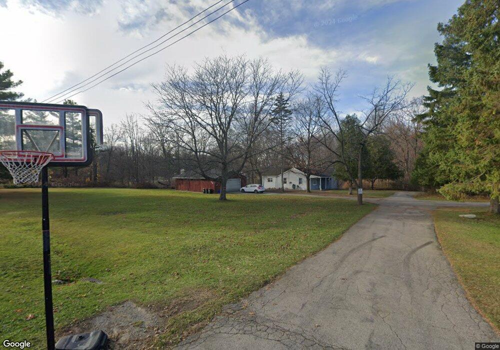
2700 Robbins Ct Port Huron, MI 48060
Estimated Value: $210,000 - $402,858
--
Bed
4
Baths
2,131
Sq Ft
$137/Sq Ft
Est. Value
About This Home
This home is located at 2700 Robbins Ct, Port Huron, MI 48060 and is currently estimated at $292,465, approximately $137 per square foot. 2700 Robbins Ct is a home located in St. Clair County with nearby schools including H.D. Crull Elementary School, Central Middle School, and Port Huron High School.
Create a Home Valuation Report for This Property
The Home Valuation Report is an in-depth analysis detailing your home's value as well as a comparison with similar homes in the area
Home Values in the Area
Average Home Value in this Area
Tax History Compared to Growth
Tax History
| Year | Tax Paid | Tax Assessment Tax Assessment Total Assessment is a certain percentage of the fair market value that is determined by local assessors to be the total taxable value of land and additions on the property. | Land | Improvement |
|---|---|---|---|---|
| 2025 | $4,306 | $193,400 | $0 | $0 |
| 2024 | $2,547 | $199,300 | $0 | $0 |
| 2023 | $2,368 | $184,200 | $0 | $0 |
| 2022 | $3,869 | $155,100 | $0 | $0 |
| 2021 | $3,563 | $149,400 | $0 | $0 |
| 2020 | $3,563 | $140,100 | $140,100 | $0 |
| 2019 | $3,497 | $105,900 | $0 | $0 |
| 2018 | $3,415 | $105,900 | $0 | $0 |
| 2017 | $3,340 | $86,000 | $0 | $0 |
| 2016 | $1,958 | $86,000 | $0 | $0 |
| 2015 | -- | $85,800 | $85,800 | $0 |
| 2014 | -- | $83,700 | $83,700 | $0 |
| 2013 | -- | $82,000 | $0 | $0 |
Source: Public Records
Map
Nearby Homes
- 2566 Lewis Dr
- 3255 Harrington Rd
- 2636 Locust St
- 0000 Henry St
- 2045 Yeager St
- 0000 Manuel St
- 00 Campau Ave
- 3335 W Water St
- 2940 Westland Dr
- 146 Taylor St
- 2650 Alger Rd
- 2475 Sharon Ln
- 0000 Water St
- 1825 Kern St
- V/L #4 Water St
- V/L #6 Water St
- V/L #5 Water St
- V/L #8 Water St
- V/L #3 Water St
- 1819 Kern St