Estimated Value: $4,585,000 - $5,049,000
Studio
--
Bath
2,332
Sq Ft
$2,077/Sq Ft
Est. Value
About This Home
This home is located at 2701 E Shadow Ridge Cir Unit KL16, Kamas, UT 84036 and is currently estimated at $4,842,659, approximately $2,076 per square foot. 2701 E Shadow Ridge Cir Unit KL16 is a home located in Wasatch County with nearby schools including Midway Elementary School, Rocky Mountain Middle School, and Wasatch High School.
Ownership History
Date
Name
Owned For
Owner Type
Purchase Details
Closed on
Jun 18, 2024
Sold by
Tuhaye 2701 Llc
Bought by
Andrea L Wald Trust and Wald
Current Estimated Value
Purchase Details
Closed on
Jul 27, 2022
Sold by
Dempsey Persons Harry
Bought by
Tuhaye 2701 Llc
Home Financials for this Owner
Home Financials are based on the most recent Mortgage that was taken out on this home.
Original Mortgage
$2,600,000
Interest Rate
5.78%
Mortgage Type
New Conventional
Purchase Details
Closed on
Sep 15, 2016
Sold by
Brown James A and Brown Angela F
Bought by
Persons Harry Dempsey and Persons Judith Anne
Purchase Details
Closed on
Sep 14, 2009
Sold by
Tuhaye Llc
Bought by
Brown James A and Brown Angela F
Home Financials for this Owner
Home Financials are based on the most recent Mortgage that was taken out on this home.
Original Mortgage
$318,500
Interest Rate
5.2%
Mortgage Type
Purchase Money Mortgage
Create a Home Valuation Report for This Property
The Home Valuation Report is an in-depth analysis detailing your home's value as well as a comparison with similar homes in the area
Home Values in the Area
Average Home Value in this Area
Purchase History
| Date | Buyer | Sale Price | Title Company |
|---|---|---|---|
| Andrea L Wald Trust | -- | First American Title Insurance | |
| Tuhaye 2701 Llc | -- | Metro Title & Escrow | |
| Persons Harry Dempsey | -- | High Country Title | |
| Brown James A | -- | Coalition Title Agency Inc |
Source: Public Records
Mortgage History
| Date | Status | Borrower | Loan Amount |
|---|---|---|---|
| Previous Owner | Tuhaye 2701 Llc | $2,600,000 | |
| Previous Owner | Brown James A | $318,500 |
Source: Public Records
Tax History
| Year | Tax Paid | Tax Assessment Tax Assessment Total Assessment is a certain percentage of the fair market value that is determined by local assessors to be the total taxable value of land and additions on the property. | Land | Improvement |
|---|---|---|---|---|
| 2025 | $17,248 | $3,668,700 | $1,017,500 | $2,651,200 |
| 2024 | $12,913 | $2,767,516 | $1,150,000 | $1,617,516 |
| 2023 | $12,823 | $2,698,660 | $1,060,000 | $1,638,660 |
| 2022 | $10,070 | $1,962,300 | $905,100 | $1,057,200 |
| 2021 | $8,984 | $1,394,300 | $337,100 | $1,057,200 |
| 2020 | $8,609 | $1,394,300 | $337,100 | $1,057,200 |
| 2019 | $3,792 | $337,100 | $0 | $0 |
| 2018 | $1,711 | $152,100 | $0 | $0 |
| 2017 | $1,709 | $152,100 | $0 | $0 |
| 2016 | $1,743 | $152,100 | $0 | $0 |
| 2015 | $1,642 | $152,100 | $152,100 | $0 |
| 2014 | $1,673 | $152,100 | $152,100 | $0 |
Source: Public Records
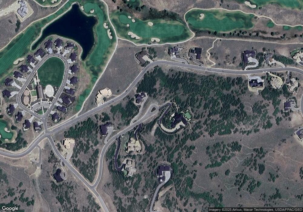
Map
Nearby Homes
- 9248 N Uinta Cir Unit 44
- 2990 Primrose Trail
- 9322 N Sleeping Rock Cir Unit 15
- 3160 E Arrowhead Trail
- 4900 Arrowhead Trail Unit 325
- 9156 N Sleeping Rock Cir
- 3135 E Cougar Moon Way Unit Cm-105
- 9664 N Tuhaye Park Dr Unit 13-N
- 2127 E Adventure Ct
- 3590 Still Branch Ct Unit 11
- 2965 E Cougar Moon Dr
- 2965 E Cougar Moon Dr Unit Cm-102
- 9747 N Ridgeway Cir
- 9747 N Ridgeway Cir Unit RW-21
- 3235 E Granite Rock Loop Unit Cm-42
- 3226 E Granite Rock Loop Unit Cm-6
- 9555 E Lone Peak Ln Unit 32
- 9080 N Uinta Dr
- 8468 N Backcast Cir Unit Cm-24
- 9923 N Uinta Dr
- 2701 E Shadow Ridge Cir
- 2701 Shadow Ridge Cir
- 2680 E Shadow Ridge Cir
- 2720 E Shadow Ridge Cir
- 2710 E Shadow Ridge Cir
- 2710 E Shadow Ridge Cir Unit Tp-13
- 2710 E Shadow Ridge Cir
- 9490 N Uinta Dr
- 9480 N Uinta Dr
- 2645 E Shadow Ridge Cir
- 2719 E Circle b Ln
- 9500 N Uinta Dr
- 9470 N Uinta Dr
- 2640 E Shadow Ridge Cir
- 9460 N Uinta Dr
- 9570 Midnight Ct
- 9574 Midnight Ct
- 2545 E Sundowner Ridge Dr
- 9580 N Kings Peak Ct
- 9564 N Midnight Ct
Your Personal Tour Guide
Ask me questions while you tour the home.