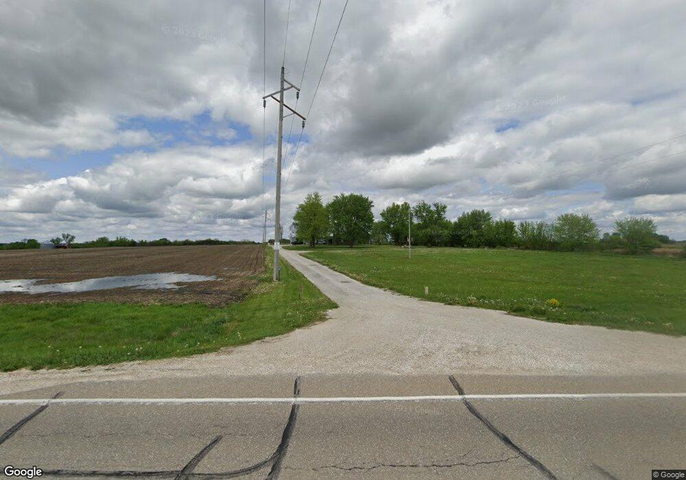
2701 Highway 16 West Point, IA 52656
Estimated Value: $226,000 - $354,941
2
Beds
1
Bath
1,696
Sq Ft
$179/Sq Ft
Est. Value
About This Home
This home is located at 2701 Highway 16, West Point, IA 52656 and is currently estimated at $303,985, approximately $179 per square foot. 2701 Highway 16 is a home located in Lee County with nearby schools including Fort Madison High School.
Ownership History
Date
Name
Owned For
Owner Type
Purchase Details
Closed on
Jun 21, 2022
Sold by
Gnann and Kevin
Bought by
Hale Colten
Current Estimated Value
Home Financials for this Owner
Home Financials are based on the most recent Mortgage that was taken out on this home.
Original Mortgage
$271,815
Outstanding Balance
$258,700
Interest Rate
5.3%
Mortgage Type
New Conventional
Estimated Equity
$45,285
Purchase Details
Closed on
Nov 28, 2016
Sold by
Gnann Amy and Gnann Kevin
Bought by
Gnann Kevin and Gnann Amy
Purchase Details
Closed on
Jul 16, 2012
Sold by
Bergquist Julie A
Bought by
Bergquist Julie A and Bergquist Robert Joseph
Home Financials for this Owner
Home Financials are based on the most recent Mortgage that was taken out on this home.
Original Mortgage
$100,000
Interest Rate
3.64%
Mortgage Type
Future Advance Clause Open End Mortgage
Create a Home Valuation Report for This Property
The Home Valuation Report is an in-depth analysis detailing your home's value as well as a comparison with similar homes in the area
Home Values in the Area
Average Home Value in this Area
Purchase History
| Date | Buyer | Sale Price | Title Company |
|---|---|---|---|
| Hale Colten | $330,000 | None Listed On Document | |
| Gnann Kevin | -- | Attorney | |
| Bergquist Julie A | -- | None Available |
Source: Public Records
Mortgage History
| Date | Status | Borrower | Loan Amount |
|---|---|---|---|
| Open | Hale Colten | $271,815 | |
| Previous Owner | Bergquist Julie A | $100,000 |
Source: Public Records
Tax History Compared to Growth
Tax History
| Year | Tax Paid | Tax Assessment Tax Assessment Total Assessment is a certain percentage of the fair market value that is determined by local assessors to be the total taxable value of land and additions on the property. | Land | Improvement |
|---|---|---|---|---|
| 2025 | $3,072 | $301,140 | $37,130 | $264,010 |
| 2024 | $3,072 | $240,190 | $37,130 | $203,060 |
| 2023 | $3,044 | $240,190 | $37,130 | $203,060 |
| 2022 | $2,146 | $163,010 | $32,250 | $130,760 |
| 2021 | $2,146 | $163,010 | $32,250 | $130,760 |
| 2020 | $2,288 | $161,220 | $34,190 | $127,030 |
| 2019 | $2,218 | $161,220 | $34,190 | $127,030 |
| 2018 | $2,300 | $152,090 | $0 | $0 |
| 2017 | $2,078 | $142,850 | $0 | $0 |
| 2016 | $1,942 | $142,850 | $0 | $0 |
| 2015 | $1,942 | $138,100 | $0 | $0 |
| 2014 | $1,906 | $138,100 | $0 | $0 |
Source: Public Records
Map
Nearby Homes
- 809 Houston Ave
- 910 Avenue D
- 2280 Windmill Way
- 10161 Jimtown Rd
- 5164 Augusta Main Rd
- 2042 St Paul 2nd St
- 2532 305th St
- 2257 Burt Rd
- 3035 New London Rd
- 406 Center St
- 203 & 205-207 Center St
- 210 Louisiana St
- 208 Louisiana St
- 200 Louisiana St
- 1684 345th Ave
- 3026 County Road 103
- 2794 221st St
- 2798 River Hills Rd
- RR Woodland Heights Ct
- 1910 S Highway 61