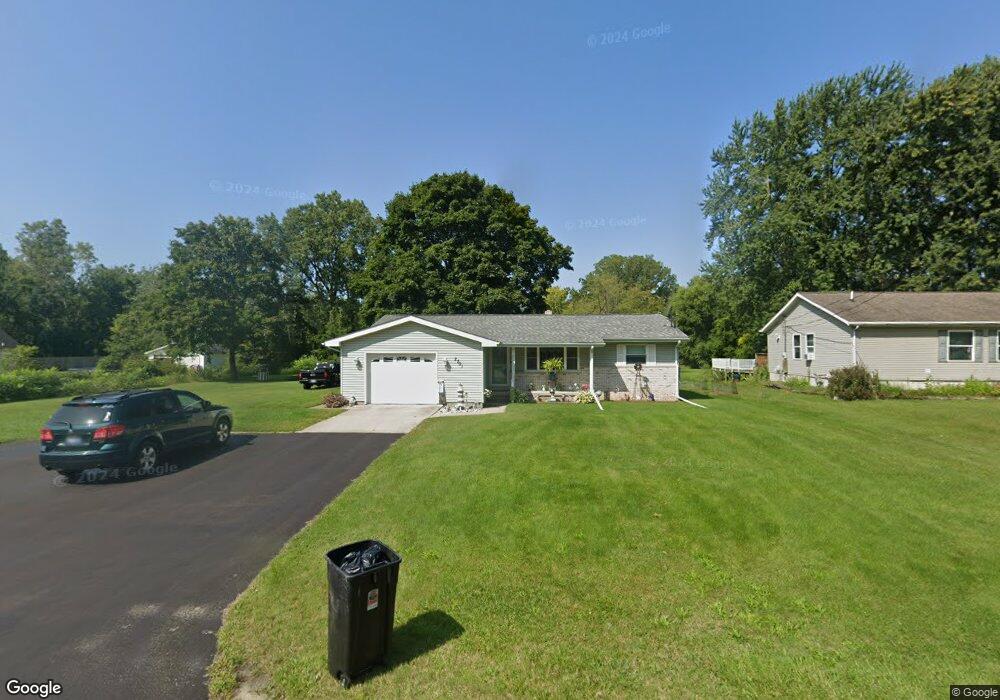
2701 Michigan Rd Port Huron, MI 48060
Estimated Value: $219,000 - $234,000
3
Beds
2
Baths
1,220
Sq Ft
$186/Sq Ft
Est. Value
About This Home
This home is located at 2701 Michigan Rd, Port Huron, MI 48060 and is currently estimated at $226,368, approximately $185 per square foot. 2701 Michigan Rd is a home located in St. Clair County with nearby schools including Michigamme Elementary School, Central Middle School, and Port Huron High School.
Ownership History
Date
Name
Owned For
Owner Type
Purchase Details
Closed on
May 8, 2018
Sold by
Laming Trust
Bought by
Laming Janet Irene
Current Estimated Value
Create a Home Valuation Report for This Property
The Home Valuation Report is an in-depth analysis detailing your home's value as well as a comparison with similar homes in the area
Home Values in the Area
Average Home Value in this Area
Purchase History
| Date | Buyer | Sale Price | Title Company |
|---|---|---|---|
| Laming Janet Irene | -- | None Available |
Source: Public Records
Tax History Compared to Growth
Tax History
| Year | Tax Paid | Tax Assessment Tax Assessment Total Assessment is a certain percentage of the fair market value that is determined by local assessors to be the total taxable value of land and additions on the property. | Land | Improvement |
|---|---|---|---|---|
| 2025 | $2,082 | $98,700 | $0 | $0 |
| 2024 | $1,096 | $99,200 | $0 | $0 |
| 2023 | $1,011 | $88,500 | $0 | $0 |
| 2022 | $1,868 | $83,100 | $0 | $0 |
| 2021 | $1,734 | $78,200 | $0 | $0 |
| 2020 | $1,734 | $67,000 | $67,000 | $0 |
| 2019 | $1,679 | $61,100 | $0 | $0 |
| 2018 | $1,738 | $61,100 | $0 | $0 |
| 2017 | $1,945 | $61,400 | $0 | $0 |
| 2016 | $830 | $61,400 | $0 | $0 |
| 2015 | -- | $50,900 | $50,900 | $0 |
| 2014 | -- | $47,500 | $47,500 | $0 |
| 2013 | -- | $46,000 | $0 | $0 |
Source: Public Records
Map
Nearby Homes
- 2650 Alger Rd
- 2863 Beach Rd
- 0000 W Water St
- 4380 Lapeer Rd
- 2940 Westland Dr
- 2566 Lewis Dr
- 3152 Spruce Dr
- 3115 Spruce Dr
- 3335 W Water St
- 3255 Harrington Rd
- 0 Wall Rd Unit 50185999
- 3408 N Burwick Dr
- 3409 Ancient Dr
- 4224 Atkins Rd
- 2475 Sharon Ln
- 3345 Beach Rd
- 2636 Locust St
- 0000 Manuel St
- 2045 Yeager St
- 3230 Range Rd
- 2683 Michigan Rd
- 2711 Michigan Rd
- 2715 Michigan Rd
- 2675 Michigan Rd
- 2719 Michigan Rd
- 2669 Michigan Rd
- 2702 Michigan Rd
- 2723 Michigan Rd
- 2694 Alger Rd
- 2688 Alger Rd
- 2672 Alger Rd
- 2663 Michigan Rd
- 2684 Michigan Rd
- 2712 Michigan Rd
- 2730 Alger Rd
- 2728 Michigan Rd
- 2690 Michigan Rd
- 2733 Michigan Rd
- 2720 Michigan Rd
- 2660 Alger Rd