27028 New Lawrence Dr Leavenworth, KS 66048
Estimated Value: $379,432 - $418,000
3
Beds
2
Baths
1,620
Sq Ft
$246/Sq Ft
Est. Value
About This Home
This home is located at 27028 New Lawrence Dr, Leavenworth, KS 66048 and is currently estimated at $397,858, approximately $245 per square foot. 27028 New Lawrence Dr is a home located in Leavenworth County with nearby schools including Lansing Elementary School, Lansing Middle 6-8, and Lansing High 9-12.
Ownership History
Date
Name
Owned For
Owner Type
Purchase Details
Closed on
Mar 1, 2004
Bought by
Kempton Kevin and Kempton Adrienne
Current Estimated Value
Home Financials for this Owner
Home Financials are based on the most recent Mortgage that was taken out on this home.
Original Mortgage
$11,750
Outstanding Balance
$5,457
Interest Rate
5.58%
Mortgage Type
New Conventional
Estimated Equity
$392,401
Create a Home Valuation Report for This Property
The Home Valuation Report is an in-depth analysis detailing your home's value as well as a comparison with similar homes in the area
Home Values in the Area
Average Home Value in this Area
Purchase History
| Date | Buyer | Sale Price | Title Company |
|---|---|---|---|
| Kempton Kevin | $138,000 | -- |
Source: Public Records
Mortgage History
| Date | Status | Borrower | Loan Amount |
|---|---|---|---|
| Open | Kempton Kevin | $11,750 | |
| Closed | Kempton Kevin | $120,000 |
Source: Public Records
Tax History Compared to Growth
Tax History
| Year | Tax Paid | Tax Assessment Tax Assessment Total Assessment is a certain percentage of the fair market value that is determined by local assessors to be the total taxable value of land and additions on the property. | Land | Improvement |
|---|---|---|---|---|
| 2025 | $4,341 | $33,728 | $10,680 | $23,048 |
| 2024 | $4,037 | $32,432 | $11,620 | $20,812 |
| 2023 | $4,037 | $31,184 | $11,689 | $19,495 |
| 2022 | $3,882 | $28,349 | $8,157 | $20,192 |
| 2021 | $3,403 | $23,705 | $7,360 | $16,345 |
| 2020 | $3,128 | $21,462 | $7,040 | $14,422 |
| 2019 | $2,999 | $20,557 | $6,695 | $13,862 |
| 2018 | $2,857 | $19,613 | $6,036 | $13,577 |
| 2017 | $2,732 | $18,727 | $6,036 | $12,691 |
| 2016 | $2,670 | $18,295 | $6,036 | $12,259 |
| 2015 | $2,565 | $17,641 | $6,036 | $11,605 |
| 2014 | $2,512 | $17,641 | $6,027 | $11,614 |
Source: Public Records
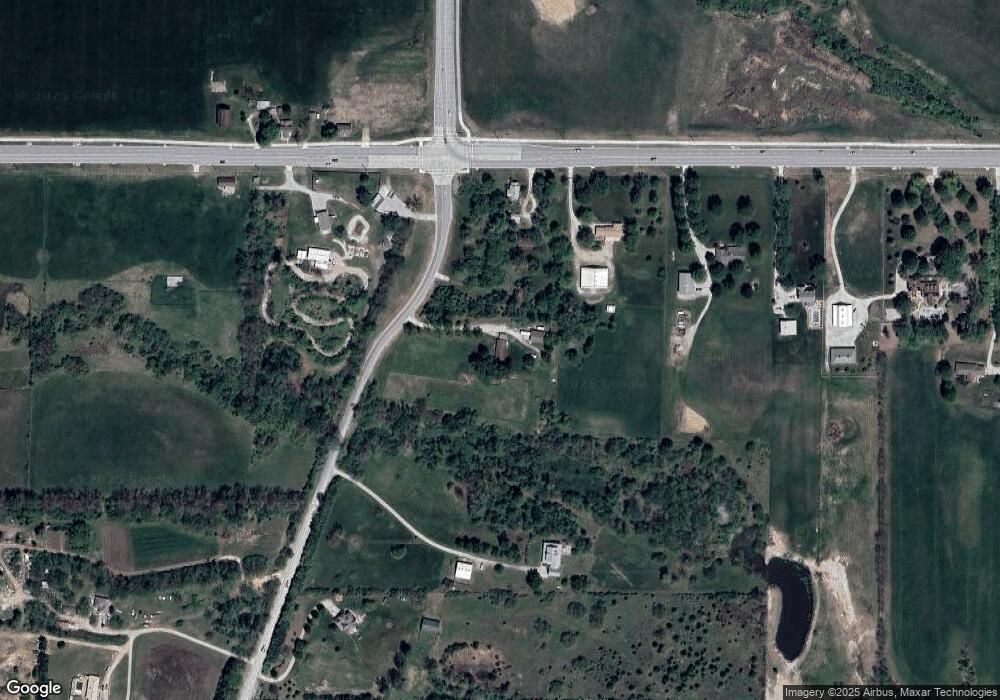
Map
Nearby Homes
- 15915 Eisenhower Rd
- 16055 W Eisenhower Rd
- 0000 Eisenhower Rd
- 1605 Shadow Dr
- 4421 Grand Ct
- 2151 Shenandoah Dr
- 2150 Shenandoah Dr
- 1023 Ironwood Ct
- 3703 Clayton Dr
- 4301 Ironwood Dr
- 728 Eisenhower Rd
- 4606 Park Ln
- 749 Highland Dr
- 1013 Sycamore Ridge Dr
- 17096 Eisenhower Rd
- 1320 Independence Ct
- 3225 Meadow Rd
- 3804 Garland Ave
- 108 Woodmoor Ct Unit Lot 100
- 4036 Shrine Park Rd
- 15863 Eisenhower Rd
- 15795 Eisenhower Rd
- 15921 Eisenhower Rd
- 27010 New Lawrence Dr
- 15765 Eisenhower Rd
- 15960 Eisenhower Rd
- 15968 Eisenhower Rd
- 15749 Eisenhower Rd
- 26968 New Lawrence Dr
- 26870 New Lawrence Dr
- 15675 Eisenhower Rd
- 15639 Eisenhower Rd
- 26987 New Lawrence Dr
- 4933 Tallgrass St
- 4932 Tallgrass St
- 4937 Shady Bend Rd
- 4932 Shady Bend Rd
- 4929 Tallgrass St
- 4928 Tallgrass St
- 4933 Shady Bend Rd