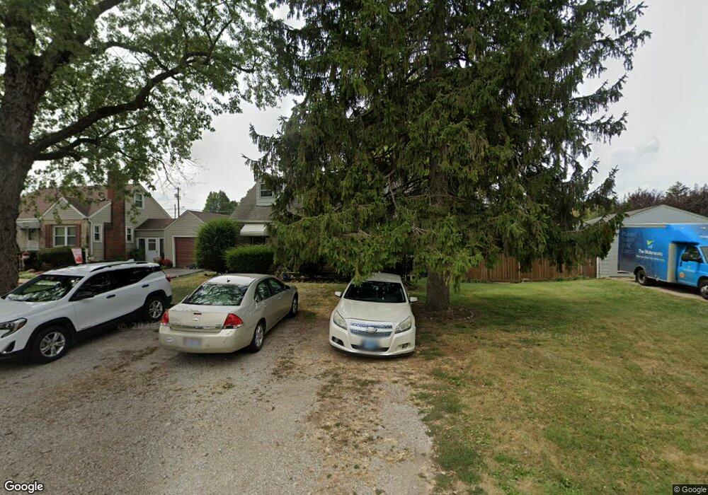
2703 Thorndale Ave Columbus, OH 43207
Obetz-Lockbourne NeighborhoodEstimated Value: $212,000 - $240,000
3
Beds
2
Baths
1,221
Sq Ft
$182/Sq Ft
Est. Value
About This Home
This home is located at 2703 Thorndale Ave, Columbus, OH 43207 and is currently estimated at $222,204, approximately $181 per square foot. 2703 Thorndale Ave is a home located in Franklin County with nearby schools including Parsons Elementary School, Buckeye Middle School, and Marion-Franklin High School.
Ownership History
Date
Name
Owned For
Owner Type
Purchase Details
Closed on
Mar 1, 1988
Bought by
Sobony Edwin A
Current Estimated Value
Purchase Details
Closed on
Mar 1, 1984
Create a Home Valuation Report for This Property
The Home Valuation Report is an in-depth analysis detailing your home's value as well as a comparison with similar homes in the area
Home Values in the Area
Average Home Value in this Area
Purchase History
| Date | Buyer | Sale Price | Title Company |
|---|---|---|---|
| Sobony Edwin A | $48,200 | -- | |
| -- | $45,900 | -- |
Source: Public Records
Tax History Compared to Growth
Tax History
| Year | Tax Paid | Tax Assessment Tax Assessment Total Assessment is a certain percentage of the fair market value that is determined by local assessors to be the total taxable value of land and additions on the property. | Land | Improvement |
|---|---|---|---|---|
| 2024 | $2,380 | $62,830 | $13,230 | $49,600 |
| 2023 | $2,377 | $62,830 | $13,230 | $49,600 |
| 2022 | $1,298 | $33,780 | $7,070 | $26,710 |
| 2021 | $1,301 | $33,780 | $7,070 | $26,710 |
| 2020 | $1,302 | $33,780 | $7,070 | $26,710 |
| 2019 | $1,257 | $29,470 | $6,160 | $23,310 |
| 2018 | $1,013 | $29,470 | $6,160 | $23,310 |
| 2017 | $1,256 | $29,470 | $6,160 | $23,310 |
| 2016 | $1,275 | $28,000 | $4,620 | $23,380 |
| 2015 | $1,158 | $34,410 | $4,620 | $29,790 |
| 2014 | $1,547 | $34,410 | $4,620 | $29,790 |
| 2013 | $817 | $36,225 | $4,865 | $31,360 |
Source: Public Records
Map
Nearby Homes
- 19 E Castle Rd
- 84 Betz Rd
- 2808 Dolby Dr
- 202 Calahan Rd
- 115 W Castle Rd
- 82 Delray Rd
- 238 Delray Rd
- 300 Loxley Dr
- 2763 Parsons Ave
- 2769 Shelly Dr
- 162 Phelps Rd
- 0 Parsons Ave
- 2901 Parsons Ave
- 228 Currier Dr
- 3161 Lewis Rd
- 574 Koebel Ave
- 1633-1635 E Greenway Ave
- 256 Rumsey Rd Unit 258
- 611 Lock Ave
- 445 Basswood Rd
- 2705 Thorndale Ave
- 2691 Thorndale Ave
- 2681 Thorndale Ave
- 2700 S High St
- 2706 Thorndale Ave
- 2706 S High St
- 2694 Thorndale Ave
- 2725 Thorndale Ave
- 2686 S High St
- 2710 Thorndale Ave
- 2673 Thorndale Ave
- 2684 Thorndale Ave
- 2729 Thorndale Ave
- 2674 S High St
- 2720 S High St
- 2669 Thorndale Ave
- 2724 Thorndale Ave
- 2735 Thorndale Ave
- 74 E Alcott Rd
- 67 Kail Ave