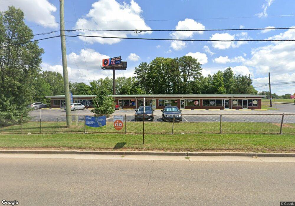
2704 E Andrew Johnson Hwy Morristown, TN 37814
Estimated Value: $957,857
--
Bed
2
Baths
8,000
Sq Ft
$120/Sq Ft
Est. Value
About This Home
This home is located at 2704 E Andrew Johnson Hwy, Morristown, TN 37814 and is currently estimated at $957,857, approximately $119 per square foot. 2704 E Andrew Johnson Hwy is a home located in Hamblen County with nearby schools including John Hay Elementary School, Meadowview Middle School, and Morristown East High School.
Ownership History
Date
Name
Owned For
Owner Type
Purchase Details
Closed on
Aug 30, 2021
Sold by
Branum Shirley O
Bought by
Saah Charlie and Saah Suzanne
Current Estimated Value
Purchase Details
Closed on
Jan 30, 1997
Bought by
Branum John G
Purchase Details
Closed on
Apr 15, 1987
Bought by
Roddy Manufacturing Co
Purchase Details
Closed on
Mar 26, 1987
Bought by
Bunch Wanda
Purchase Details
Closed on
Apr 24, 1986
Purchase Details
Closed on
Apr 23, 1986
Bought by
Bowlin Grant Edward
Purchase Details
Closed on
Oct 28, 1978
Bought by
Roddy Manufacturing Co
Purchase Details
Closed on
Nov 20, 1975
Bought by
Roddy Manufacturing Co
Create a Home Valuation Report for This Property
The Home Valuation Report is an in-depth analysis detailing your home's value as well as a comparison with similar homes in the area
Home Values in the Area
Average Home Value in this Area
Purchase History
| Date | Buyer | Sale Price | Title Company |
|---|---|---|---|
| Saah Charlie | $721,000 | Lakeway Title Services | |
| Branum John G | $135,000 | -- | |
| Roddy Manufacturing Co | $67,000 | -- | |
| Bunch Wanda | -- | -- | |
| -- | $50,000 | -- | |
| Bowlin Grant Edward | -- | -- | |
| -- | $50,000 | -- | |
| Roddy Manufacturing Co | -- | -- | |
| Roddy Manufacturing Co | -- | -- |
Source: Public Records
Tax History Compared to Growth
Tax History
| Year | Tax Paid | Tax Assessment Tax Assessment Total Assessment is a certain percentage of the fair market value that is determined by local assessors to be the total taxable value of land and additions on the property. | Land | Improvement |
|---|---|---|---|---|
| 2024 | $4,844 | $275,240 | $47,400 | $227,840 |
| 2023 | $4,844 | $275,240 | $0 | $0 |
| 2022 | $8,697 | $275,240 | $47,400 | $227,840 |
| 2021 | $8,697 | $275,240 | $47,400 | $227,840 |
| 2020 | $9,816 | $311,040 | $83,200 | $227,840 |
| 2019 | $9,739 | $286,440 | $83,200 | $203,240 |
| 2018 | $9,023 | $286,440 | $83,200 | $203,240 |
| 2017 | $8,879 | $286,440 | $83,200 | $203,240 |
| 2016 | $8,478 | $286,440 | $83,200 | $203,240 |
| 2015 | $7,889 | $286,440 | $83,200 | $203,240 |
| 2014 | -- | $286,440 | $83,200 | $203,240 |
| 2013 | -- | $306,760 | $0 | $0 |
Source: Public Records
Map
Nearby Homes
- 3003 Eloise Dr
- 0 Morelock Rd N
- 3115 Eloise Dr
- Lot 1 E Andrew Johnson Hwy
- Lot 2 Morelock Rd
- 512 Cliff St
- 345 Belle Meade Cir
- 517 Cliff St
- 3113 Berna Way
- 2021 Arnold Ave
- 542 Cliff St
- 1250 N Liberty Hill Rd
- 2405 Southern Dr
- 1932 Eastern Ave
- 1643 Meadowview Ln
- 2320 Southern Dr
- 1710 Morningside Dr
- 1635 Meadowview Ln
- 216 Laurel St
- 458 Laurel St
- 2622 Purkey St
- 2614 Purkey St
- 2602 Purkey St
- 2625 Purkey St
- 2621 Purkey St
- 2615 Purkey St
- 2607 Purkey St
- 2438 E Andrew Johnson Hwy
- 0 U S 25 E
- 2432 E Andrew Johnson Hwy
- 2645 N Morelock Rd
- 2428 E Andrew Johnson Hwy
- 2649 N Morelock Rd
- 2649 N Morelock Rd
- 152 Apple Blossom Ln
- 207 Apple Blossom Ln
- 764 N Morelock Rd
- 209 Apple Blossom Ln
- 3017 Eloise Dr
- 3018 Camilla Ave